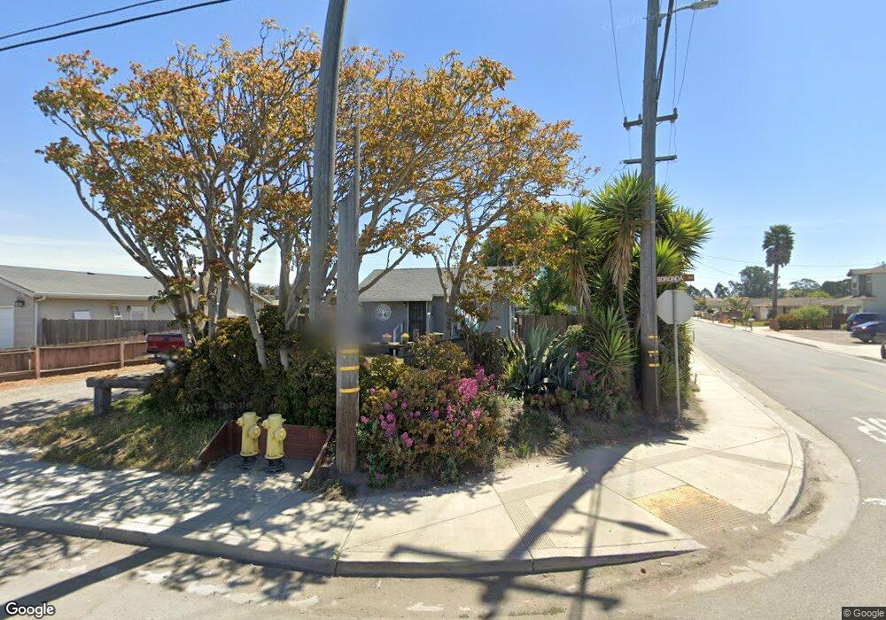
302 Boronda Rd Salinas, CA 93907
Boronda NeighborhoodEstimated Value: $312,000 - $510,000
2
Beds
1
Bath
547
Sq Ft
$754/Sq Ft
Est. Value
About This Home
This home is located at 302 Boronda Rd, Salinas, CA 93907 and is currently estimated at $412,218, approximately $753 per square foot. 302 Boronda Rd is a home located in Monterey County with nearby schools including Boronda Meadows Elementary School, Henry F. Kammann Elementary School, and Harden Middle School.
Ownership History
Date
Name
Owned For
Owner Type
Purchase Details
Closed on
Jul 7, 2000
Sold by
Ream Construction Inc
Bought by
Terry & Theresa Ream Living Trust
Current Estimated Value
Purchase Details
Closed on
Mar 12, 1998
Sold by
Rexford Title Inc
Bought by
Santa Rita Union School District
Purchase Details
Closed on
May 8, 1996
Sold by
Yeiser Magdalena
Bought by
Yeiser Erica Magdalena
Purchase Details
Closed on
Oct 17, 1991
Sold by
Swanson Catherine A
Bought by
Coley Dean E
Create a Home Valuation Report for This Property
The Home Valuation Report is an in-depth analysis detailing your home's value as well as a comparison with similar homes in the area
Home Values in the Area
Average Home Value in this Area
Purchase History
| Date | Buyer | Sale Price | Title Company |
|---|---|---|---|
| Terry & Theresa Ream Living Trust | -- | -- | |
| Santa Rita Union School District | -- | Chicago Title Co | |
| Yeiser Erica Magdalena | -- | -- | |
| Yeiser Erica Magdalena | -- | -- | |
| Coley Dean E | $100,000 | -- |
Source: Public Records
Tax History
| Year | Tax Paid | Tax Assessment Tax Assessment Total Assessment is a certain percentage of the fair market value that is determined by local assessors to be the total taxable value of land and additions on the property. | Land | Improvement |
|---|---|---|---|---|
| 2025 | $1,477 | $63,997 | $42,671 | $21,326 |
| 2024 | $1,477 | $62,743 | $41,835 | $20,908 |
| 2023 | $774 | $61,514 | $41,015 | $20,499 |
| 2022 | $744 | $60,309 | $40,211 | $20,098 |
| 2021 | $716 | $59,127 | $39,423 | $19,704 |
| 2020 | $697 | $58,521 | $39,019 | $19,502 |
| 2019 | $690 | $57,374 | $38,254 | $19,120 |
| 2018 | $678 | $56,250 | $37,504 | $18,746 |
| 2017 | $679 | $55,148 | $36,769 | $18,379 |
| 2016 | $678 | $54,068 | $36,049 | $18,019 |
| 2015 | $684 | $53,257 | $35,508 | $17,749 |
| 2014 | $642 | $52,215 | $34,813 | $17,402 |
Source: Public Records
Map
Nearby Homes
- 304 Boronda Rd
- 1159 Fontes Ln
- 1153 Fontes Ln
- 1152 Fontes Ln
- 312 Boronda Rd
- 1151 Fontes Ln
- 1150 Fontes Ln
- 234 Boronda Rd Unit C
- 234 Boronda Rd Unit D
- 234 Boronda Rd Unit C
- 234 Boronda Rd Unit B
- 234 Boronda Rd
- 316 Boronda Rd
- 1146 Fontes Ln
- 1149 Fontes Ln
- 230 Boronda Rd
- 305 Addington Ln
- 307 Addington Ln
- 320 Boronda Rd
- 301 Addington Ln
Your Personal Tour Guide
Ask me questions while you tour the home.