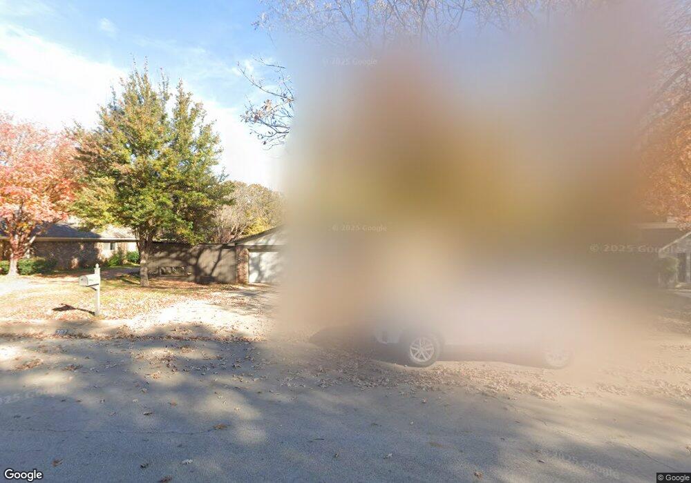
302 Brookside Dr Grapevine, TX 76051
Estimated Value: $399,000 - $504,000
3
Beds
2
Baths
1,715
Sq Ft
$261/Sq Ft
Est. Value
About This Home
This home is located at 302 Brookside Dr, Grapevine, TX 76051 and is currently estimated at $446,984, approximately $260 per square foot. 302 Brookside Dr is a home located in Tarrant County with nearby schools including Cannon Elementary School, Grapevine Middle, and Grapevine High School.
Ownership History
Date
Name
Owned For
Owner Type
Purchase Details
Closed on
Jan 19, 2022
Sold by
Graham Boyd Rudolph
Bought by
Boyd Kimberly Paige
Current Estimated Value
Home Financials for this Owner
Home Financials are based on the most recent Mortgage that was taken out on this home.
Original Mortgage
$230,600
Outstanding Balance
$212,075
Interest Rate
3.55%
Mortgage Type
New Conventional
Estimated Equity
$234,909
Purchase Details
Closed on
Oct 30, 2018
Sold by
Boyd Kendra G and Boyd Rudolph Charles
Bought by
Boyd Rudolph G
Home Financials for this Owner
Home Financials are based on the most recent Mortgage that was taken out on this home.
Original Mortgage
$248,000
Interest Rate
4.8%
Mortgage Type
Stand Alone First
Purchase Details
Closed on
Jun 3, 1999
Sold by
Boyd Rudolph Charles
Bought by
Boyd Kendra G
Home Financials for this Owner
Home Financials are based on the most recent Mortgage that was taken out on this home.
Original Mortgage
$75,000
Interest Rate
7.12%
Purchase Details
Closed on
Jun 2, 1999
Sold by
Vlahos Valerie Nicole and Vlahos Angela E
Bought by
Boyd Kendra G and Boyd Rudolph G
Home Financials for this Owner
Home Financials are based on the most recent Mortgage that was taken out on this home.
Original Mortgage
$75,000
Interest Rate
7.12%
Purchase Details
Closed on
May 27, 1999
Sold by
Euler Linda N and Ness Linda
Bought by
Vlahos Valerie Nicole and Vlahos Angela E
Home Financials for this Owner
Home Financials are based on the most recent Mortgage that was taken out on this home.
Original Mortgage
$75,000
Interest Rate
7.12%
Purchase Details
Closed on
Feb 25, 1999
Sold by
Vlahos Nick G
Bought by
Vlahos Valerie Nicole and Vlahos Angela E
Purchase Details
Closed on
Jul 10, 1992
Sold by
Vlahos Nick G and Ness Linda
Bought by
Vlahos Nick and Vlahos Valerie Nicole
Create a Home Valuation Report for This Property
The Home Valuation Report is an in-depth analysis detailing your home's value as well as a comparison with similar homes in the area
Home Values in the Area
Average Home Value in this Area
Purchase History
| Date | Buyer | Sale Price | Title Company |
|---|---|---|---|
| Boyd Kimberly Paige | $306,698 | Alamo Title Company | |
| Boyd Kimberly Paige | -- | Alamo Title Company | |
| Boyd Rudolph G | -- | First American Title Ins Co | |
| Boyd Kendra G | -- | Rattikin Title Company | |
| Boyd Kendra G | -- | Rattikin Title Company | |
| Vlahos Valerie Nicole | -- | Rattikin Title Co | |
| Vlahos Valerie Nicole | -- | -- | |
| Vlahos Nick | -- | -- |
Source: Public Records
Mortgage History
| Date | Status | Borrower | Loan Amount |
|---|---|---|---|
| Open | Boyd Kimberly Paige | $230,600 | |
| Closed | Boyd Kimberly Paige | $230,600 | |
| Previous Owner | Boyd Rudolph G | $248,000 | |
| Previous Owner | Boyd Kendra G | $75,000 | |
| Closed | Vlahos Valerie Nicole | $0 |
Source: Public Records
Tax History
| Year | Tax Paid | Tax Assessment Tax Assessment Total Assessment is a certain percentage of the fair market value that is determined by local assessors to be the total taxable value of land and additions on the property. | Land | Improvement |
|---|---|---|---|---|
| 2025 | $1,745 | $428,699 | $90,000 | $338,699 |
| 2024 | $1,745 | $428,699 | $90,000 | $338,699 |
| 2023 | $6,743 | $402,226 | $85,000 | $317,226 |
| 2022 | $6,433 | $348,316 | $50,000 | $298,316 |
| 2021 | $6,419 | $295,210 | $50,000 | $245,210 |
| 2020 | $6,539 | $297,270 | $50,000 | $247,270 |
| 2019 | $6,427 | $310,797 | $50,000 | $260,797 |
| 2018 | $1,523 | $256,218 | $50,000 | $206,218 |
| 2017 | $5,387 | $260,234 | $50,000 | $210,234 |
| 2016 | $4,897 | $233,438 | $50,000 | $183,438 |
| 2015 | $3,700 | $200,624 | $35,000 | $165,624 |
| 2014 | $3,700 | $175,000 | $25,000 | $150,000 |
Source: Public Records
Map
Nearby Homes
- 2013 Heatherbrook Dr
- 2136 Pritchard Dr
- 2221 Churchill Loop
- 1313 Tillery Ct
- 305 Bluebonnet Dr
- 2081 Holt Way
- 2093 Holt Way
- 2410 Bowie Ln
- 1707 Overlook Dr
- 1453 Hampton Rd
- 1068 Rosewood Dr
- 1428 Hampton Rd
- 941 Meadowbend Loop S
- 6007 Laurel Ln
- 6011 Laurel Ln
- 1093 Woodbriar Dr
- 1206 Hillwood Way
- 2156 Sandell Dr
- 1226 Eaton Ln
- 1626 Choteau Cir
- 308 Brookside Dr
- 214 Brookside Dr
- 157 Manor Way St
- 147 Manor Way St
- 2005 Shadow Ct
- 314 Brookside Dr
- 208 Brookside Dr
- 2006 Shadow Ct
- 2006 Candle Ct
- 137 Manor Way St
- 1829 Harvest Moon Dr
- 320 Brookside Dr
- 202 Brookside Dr
- 2005 Willow Ct
- 2009 Shadow Ct
- 1825 Harvest Moon Dr
- 2010 Shadow Ct
- 2012 Shadow Ct
- 2010 Candle Ct
- 156 Manor Way St
Your Personal Tour Guide
Ask me questions while you tour the home.