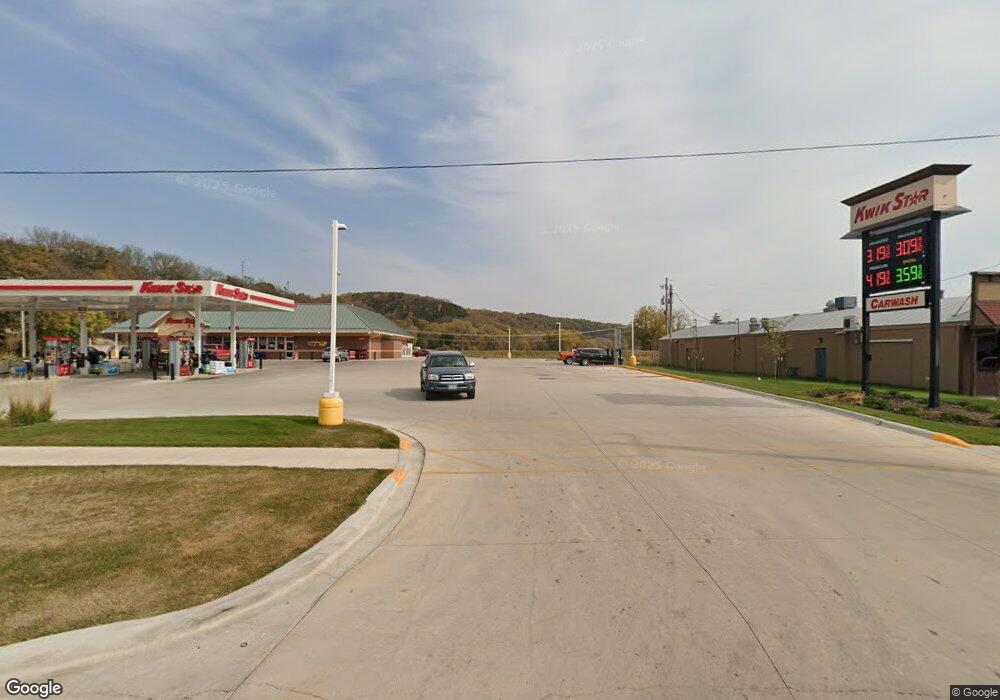
302 College Dr Decorah, IA 52101
Estimated Value: $400,495
Studio
--
Bath
3,648
Sq Ft
$110/Sq Ft
Est. Value
About This Home
This home is located at 302 College Dr, Decorah, IA 52101 and is currently priced at $400,495, approximately $109 per square foot. 302 College Dr is a home located in Winneshiek County with nearby schools including West Side Elementary School, John Cline Elementary School, and Carrie Lee Elementary School.
Ownership History
Date
Name
Owned For
Owner Type
Purchase Details
Closed on
Feb 28, 2022
Sold by
Kerndts Rental Llc
Bought by
Kwik Trip Inc
Current Estimated Value
Purchase Details
Closed on
Jun 3, 2021
Sold by
Usgaard & Smith Sales & Services Inc
Bought by
Kerndts Rental Llc
Home Financials for this Owner
Home Financials are based on the most recent Mortgage that was taken out on this home.
Original Mortgage
$325,000
Interest Rate
2.9%
Mortgage Type
Commercial
Create a Home Valuation Report for This Property
The Home Valuation Report is an in-depth analysis detailing your home's value as well as a comparison with similar homes in the area
Home Values in the Area
Average Home Value in this Area
Purchase History
| Date | Buyer | Sale Price | Title Company |
|---|---|---|---|
| Kwik Trip Inc | $315,000 | -- | |
| Kerndts Rental Llc | $325,000 | None Available |
Source: Public Records
Mortgage History
| Date | Status | Borrower | Loan Amount |
|---|---|---|---|
| Previous Owner | Kerndts Rental Llc | $325,000 |
Source: Public Records
Tax History
| Year | Tax Paid | Tax Assessment Tax Assessment Total Assessment is a certain percentage of the fair market value that is determined by local assessors to be the total taxable value of land and additions on the property. | Land | Improvement |
|---|---|---|---|---|
| 2023 | $1,690 | $90,480 | $32,280 | $58,200 |
| 2022 | $1,672 | $81,740 | $27,240 | $54,500 |
| 2021 | $1,660 | $81,740 | $27,240 | $54,500 |
| 2020 | $1,660 | $79,580 | $27,240 | $52,340 |
| 2019 | $1,552 | $76,750 | $0 | $0 |
Source: Public Records
Map
Nearby Homes
- 111 N Mill St
- 210 West St
- 102 Center St
- 205 Ohio St Unit 4
- 408 W Broadway St
- 710 Serenity Ct
- 911 Vernon St
- 310 E Broadway St
- 401 Williams St
- 701 Winneshiek Ave
- Lot 7 BLK 1 Bruening Second Addition
- 607 E Main St
- 711 Winneshiek Ave
- 553 Massman Dr
- 415 Highland Dr
- 108 Highland Dr Unit 1
- 1306 Skyline Dr
- 1500 Division St
- 803 Clearview Dr
- 0 Commerce Dr
- 308 College Dr
- 300 College Dr
- 107 Quarry St
- 204 College Dr
- 111 Quarry St
- 510 Massman Dr
- 506 Massman Dr
- 509 Massman Dr
- 109 Quarry St
- 208 College Dr
- 115 Quarry St
- 117 Quarry St
- 504 Locust Rd Unit 4
- 504 Locust Rd Unit 3
- 504 Locust Rd Unit 1
- 311 1/2 College Dr
- 204 Iowa Ave
- 307 College Dr
- 109 Julian St
- 201 Monroe St
Your Personal Tour Guide
Ask me questions while you tour the home.
