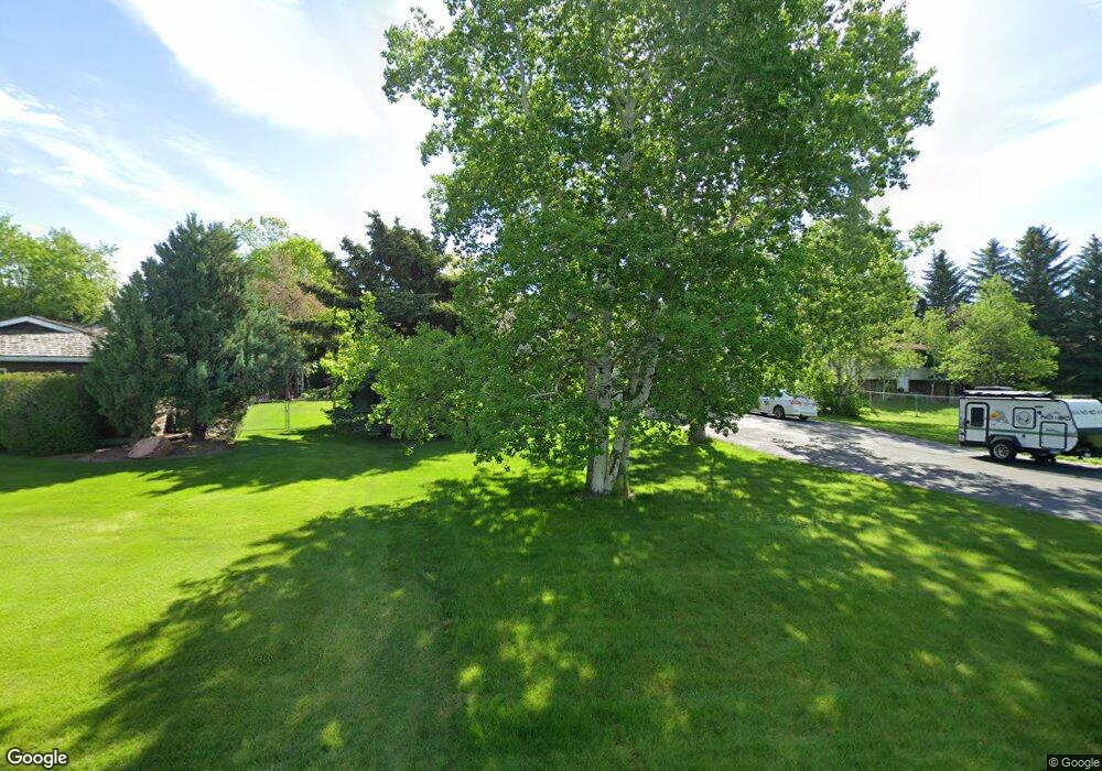
302 Crest Dr Bozeman, MT 59718
Estimated Value: $756,000 - $869,000
About This Home
This home is located at 302 Crest Dr, Bozeman, MT 59718 and is currently estimated at $790,394, approximately $247 per square foot. 302 Crest Dr is a home located in Gallatin County with nearby schools including Saddle Peak Elementary School, Belgrade High School, and Great Beginnings Montessori School.
Ownership History
We collect this data history from publicly available records. To have your information removed, we recommend requesting removal directly through your county’s website.
Purchase Details
Home Financials for this Owner
Home Financials are based on the most recent Mortgage that was taken out on this home.Purchase History
We collect this data history from publicly available records. To have your information removed, we recommend requesting removal directly through your county’s website.
| Date | Buyer | Sale Price | Title Company |
|---|---|---|---|
| -- | Security Title Company |
Mortgage History
We collect this data history from publicly available records. To have your information removed, we recommend requesting removal directly through your county’s website.
| Date | Status | Borrower | Loan Amount |
|---|---|---|---|
| Open | $246,000 |
Tax History
We collect this data history from publicly available records. To have your information removed, we recommend requesting removal directly through your county’s website.
| Year | Tax Paid | Tax Assessment Tax Assessment Total Assessment is a certain percentage of the fair market value that is determined by local assessors to be the total taxable value of land and additions on the property. | Land | Improvement |
|---|---|---|---|---|
| 2025 | $3,223 | $788,500 | $0 | $0 |
| 2024 | $4,836 | $799,200 | $0 | $0 |
| 2023 | $5,049 | $799,200 | $0 | $0 |
| 2022 | $3,367 | $449,300 | $0 | $0 |
| 2021 | $3,566 | $449,300 | $0 | $0 |
| 2020 | $3,638 | $426,200 | $0 | $0 |
| 2019 | $3,737 | $426,200 | $0 | $0 |
| 2018 | $3,161 | $338,000 | $0 | $0 |
| 2017 | $3,061 | $338,000 | $0 | $0 |
| 2016 | $3,101 | $351,800 | $0 | $0 |
| 2015 | $3,141 | $351,800 | $0 | $0 |
| 2014 | $3,098 | $212,371 | $0 | $0 |
Map
- 313 Cirque Dr
- 219 Coulee Dr
- 252 Cirque Dr
- 236 Cirque Dr
- TBD Harper Puckett
- 635 Mary Rd
- TBD Nelson
- TBD Nelson Unit Lot 22
- TBD Nelson Unit Lot 21
- TBD E Cameron Bridge Rd
- 456 Bison Trail
- 2950 Nelson Rd
- Lot 2A Bison Trail
- 12 Pathfinder Trail
- 3589 Royal Wolf Way Unit A
- 3589 Royal Wolf Way Unit B
- 3589 Royal Wolf Way Unit C
- 23 Kirsha Ln
- 3555 Royal Wolf Way Unit Lot 18
- 3485 Royal Wolf Way Unit B
Ask me questions while you tour the home.