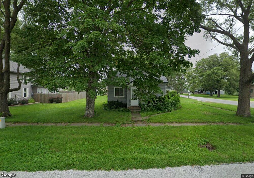
302 Division St Plainfield, IA 50666
Estimated Value: $45,740 - $146,000
2
Beds
1
Bath
800
Sq Ft
$93/Sq Ft
Est. Value
About This Home
This home is located at 302 Division St, Plainfield, IA 50666 and is currently estimated at $74,185, approximately $92 per square foot. 302 Division St is a home located in Bremer County with nearby schools including Nashua-Plainfield Elementary School and Nashua-Plainfield Jr./Sr. High School.
Ownership History
Date
Name
Owned For
Owner Type
Purchase Details
Closed on
Nov 30, 2020
Sold by
Warnke Margaret
Bought by
Smith Lisa A
Current Estimated Value
Home Financials for this Owner
Home Financials are based on the most recent Mortgage that was taken out on this home.
Original Mortgage
$12,000
Outstanding Balance
$10,703
Interest Rate
2.8%
Mortgage Type
New Conventional
Estimated Equity
$63,482
Create a Home Valuation Report for This Property
The Home Valuation Report is an in-depth analysis detailing your home's value as well as a comparison with similar homes in the area
Purchase History
| Date | Buyer | Sale Price | Title Company |
|---|---|---|---|
| Smith Lisa A | $15,000 | None Available | |
| Warnke Margaret | -- | Title Services Inc |
Source: Public Records
Mortgage History
| Date | Status | Borrower | Loan Amount |
|---|---|---|---|
| Open | Smith Lisa A | $12,000 |
Source: Public Records
Tax History
| Year | Tax Paid | Tax Assessment Tax Assessment Total Assessment is a certain percentage of the fair market value that is determined by local assessors to be the total taxable value of land and additions on the property. | Land | Improvement |
|---|---|---|---|---|
| 2025 | $366 | $29,650 | $9,240 | $20,410 |
| 2024 | $366 | $34,080 | $9,240 | $24,840 |
| 2023 | $410 | $26,390 | $11,550 | $14,840 |
| 2022 | $406 | $23,900 | $11,550 | $12,350 |
| 2021 | $356 | $23,900 | $11,550 | $12,350 |
| 2020 | $356 | $31,530 | $9,900 | $21,630 |
| 2019 | $548 | $41,680 | $0 | $0 |
| 2018 | $530 | $41,680 | $0 | $0 |
| 2017 | $530 | $44,880 | $0 | $0 |
| 2016 | $602 | $44,880 | $0 | $0 |
| 2015 | $602 | $41,950 | $0 | $0 |
| 2014 | $556 | $41,950 | $0 | $0 |
Source: Public Records
Map
Nearby Homes
- 304 Lincoln St
- 219 Main St
- 0 Easton Ave
- 110 Deerfield Cir Unit Whitetail Bluff Lot
- 114 Deerfield Cir Unit Whitetail Bluff Lot
- 106 Deerfield Cir Unit Whitetail Bluff Lot
- 102 Deerfield Cir Unit Whitetail Bluff Lot
- 2903 Addison Ave
- 809 Main St
- 225 Aspinwall St
- 109 Bailey St
- 7 Panama St
- 513 Panama St
- 21109 Woodridge Ln
- 1608 Hillside Ave
- 21165 Woodridge Ln
- 21269 Woodridge Ln
- 302 Andrews St
- 1505 Knoll Ridge Dr
- 1307 Grandview Ave
Your Personal Tour Guide
Ask me questions while you tour the home.