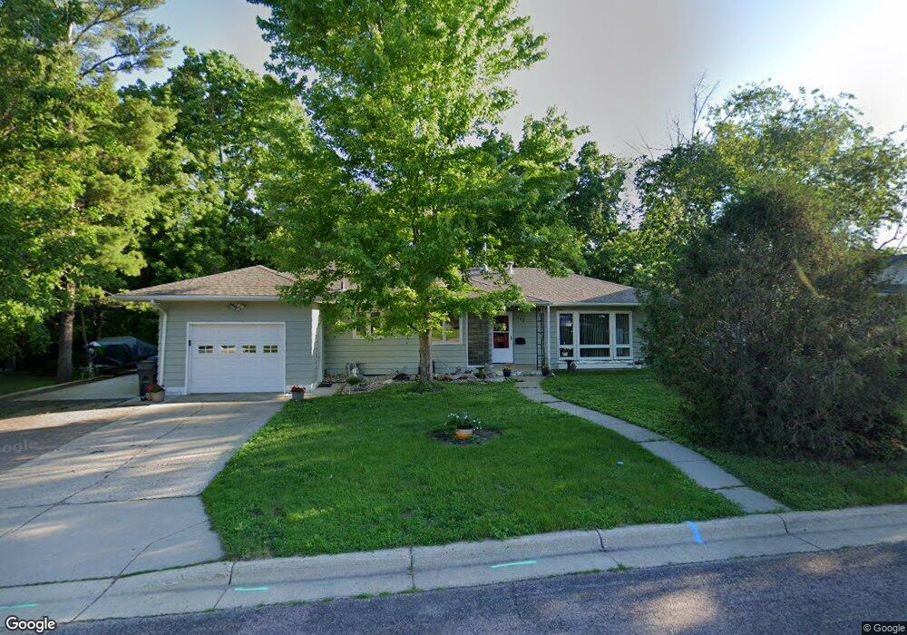
302 Dolph Rd Mankato, MN 56001
Highland Park NeighborhoodEstimated Value: $236,000 - $272,000
3
Beds
2
Baths
1,257
Sq Ft
$202/Sq Ft
Est. Value
About This Home
This home is located at 302 Dolph Rd, Mankato, MN 56001 and is currently estimated at $253,824, approximately $201 per square foot. 302 Dolph Rd is a home located in Blue Earth County with nearby schools including Rosa Parks Elementary School, Prairie Winds Middle School, and Mankato East Senior High School.
Ownership History
Date
Name
Owned For
Owner Type
Purchase Details
Closed on
Dec 11, 2007
Sold by
Thomas Mark R and Thomas Margaret E
Bought by
Mckee Ronald J
Current Estimated Value
Purchase Details
Closed on
Jul 24, 2007
Sold by
Dildine Alice R
Bought by
Thomas Mark R and Thomas Margaret E
Purchase Details
Closed on
May 18, 2007
Sold by
Dildine James L and Peters Victoria
Bought by
Dildine Alice R
Create a Home Valuation Report for This Property
The Home Valuation Report is an in-depth analysis detailing your home's value as well as a comparison with similar homes in the area
Home Values in the Area
Average Home Value in this Area
Purchase History
| Date | Buyer | Sale Price | Title Company |
|---|---|---|---|
| Mckee Ronald J | $145,000 | -- | |
| Thomas Mark R | $50,000 | -- | |
| Dildine Alice R | $158,000 | -- |
Source: Public Records
Tax History
| Year | Tax Paid | Tax Assessment Tax Assessment Total Assessment is a certain percentage of the fair market value that is determined by local assessors to be the total taxable value of land and additions on the property. | Land | Improvement |
|---|---|---|---|---|
| 2025 | $2,506 | $246,800 | $30,700 | $216,100 |
| 2024 | $2,506 | $241,500 | $30,600 | $210,900 |
| 2023 | $2,482 | $233,900 | $30,600 | $203,300 |
| 2022 | $1,982 | $225,500 | $30,600 | $194,900 |
| 2021 | $1,930 | $173,700 | $30,600 | $143,100 |
| 2020 | $1,832 | $161,700 | $30,600 | $131,100 |
| 2019 | $1,788 | $161,700 | $30,600 | $131,100 |
| 2018 | $1,576 | $158,000 | $30,600 | $127,400 |
| 2017 | $1,396 | $143,000 | $30,600 | $112,400 |
| 2016 | $1,374 | $135,300 | $30,600 | $104,700 |
| 2015 | $13 | $134,200 | $30,600 | $103,600 |
| 2014 | $1,274 | $125,900 | $30,600 | $95,300 |
Source: Public Records
Map
Nearby Homes
- 26 Sumner Hills Rd
- 212 Thayer Ave
- TBD Saratoga
- 130 Dillon Ave
- 219 James Ave
- 0 Bradley St
- 315 Floral Ave
- 117 E Pleasant St
- 522 Record St
- 133 Lincoln St
- 212 W Pleasant St
- 305 Carroll St
- 20 Camelot Dr
- 0 Tbd Woodridge Unit 7036731
- 328 Willard St
- 212 Marshall St
- 0 Block 1 Unit 7031909
- 2 A Madison Ave
- 215 Parkway Place
- 950 E Main St
Your Personal Tour Guide
Ask me questions while you tour the home.