Estimated Value: $394,000 - $502,000
2
Beds
2
Baths
1,547
Sq Ft
$292/Sq Ft
Est. Value
About This Home
This home is located at 302 E Dent Ave, Troy, MT 59935 and is currently estimated at $451,193, approximately $291 per square foot. 302 E Dent Ave is a home located in Lincoln County with nearby schools including W.F. Morrison School, Troy Junior High School, and Troy High School.
Ownership History
Date
Name
Owned For
Owner Type
Purchase Details
Closed on
May 10, 2024
Sold by
Vanetten Elizabet and Vanetten Benjamin
Bought by
Britz Megan E
Current Estimated Value
Purchase Details
Closed on
Jul 7, 2022
Sold by
Whitesel Frank
Bought by
Vanetten Benjamin and Vanetten Elizabet
Purchase Details
Closed on
Dec 14, 2016
Sold by
Shrout Andrew A
Bought by
Whitesel Frank and Whitesel Diane K
Home Financials for this Owner
Home Financials are based on the most recent Mortgage that was taken out on this home.
Original Mortgage
$193,000
Interest Rate
3.54%
Mortgage Type
VA
Purchase Details
Closed on
Oct 21, 2013
Sold by
Stapley Barton B
Bought by
Shrout Andrew A
Home Financials for this Owner
Home Financials are based on the most recent Mortgage that was taken out on this home.
Original Mortgage
$157,500
Interest Rate
4.55%
Mortgage Type
New Conventional
Create a Home Valuation Report for This Property
The Home Valuation Report is an in-depth analysis detailing your home's value as well as a comparison with similar homes in the area
Purchase History
| Date | Buyer | Sale Price | Title Company |
|---|---|---|---|
| Britz Megan E | -- | Flying S Title & Escrow | |
| Britz Megan E | -- | Flying S Title & Escrow | |
| Vanetten Benjamin | -- | Kootenai Country Title | |
| Whitesel Frank | -- | First American Title Company | |
| Shrout Andrew A | -- | First Amer Title Co Of Mt In |
Source: Public Records
Mortgage History
| Date | Status | Borrower | Loan Amount |
|---|---|---|---|
| Previous Owner | Whitesel Frank | $193,000 | |
| Previous Owner | Shrout Andrew A | $157,500 |
Source: Public Records
Tax History Compared to Growth
Tax History
| Year | Tax Paid | Tax Assessment Tax Assessment Total Assessment is a certain percentage of the fair market value that is determined by local assessors to be the total taxable value of land and additions on the property. | Land | Improvement |
|---|---|---|---|---|
| 2025 | $2,247 | $459,400 | $0 | $0 |
| 2024 | $3,019 | $369,000 | $0 | $0 |
| 2023 | $3,985 | $369,000 | $0 | $0 |
| 2022 | $2,914 | $240,500 | $0 | $0 |
| 2021 | $317 | $240,500 | $0 | $0 |
| 2020 | $316 | $207,000 | $0 | $0 |
| 2019 | $316 | $207,000 | $0 | $0 |
| 2018 | $313 | $185,500 | $0 | $0 |
| 2017 | $40 | $185,500 | $0 | $0 |
| 2016 | $1,958 | $152,400 | $0 | $0 |
| 2015 | $1,435 | $152,400 | $0 | $0 |
| 2014 | $1,704 | $96,475 | $0 | $0 |
Source: Public Records
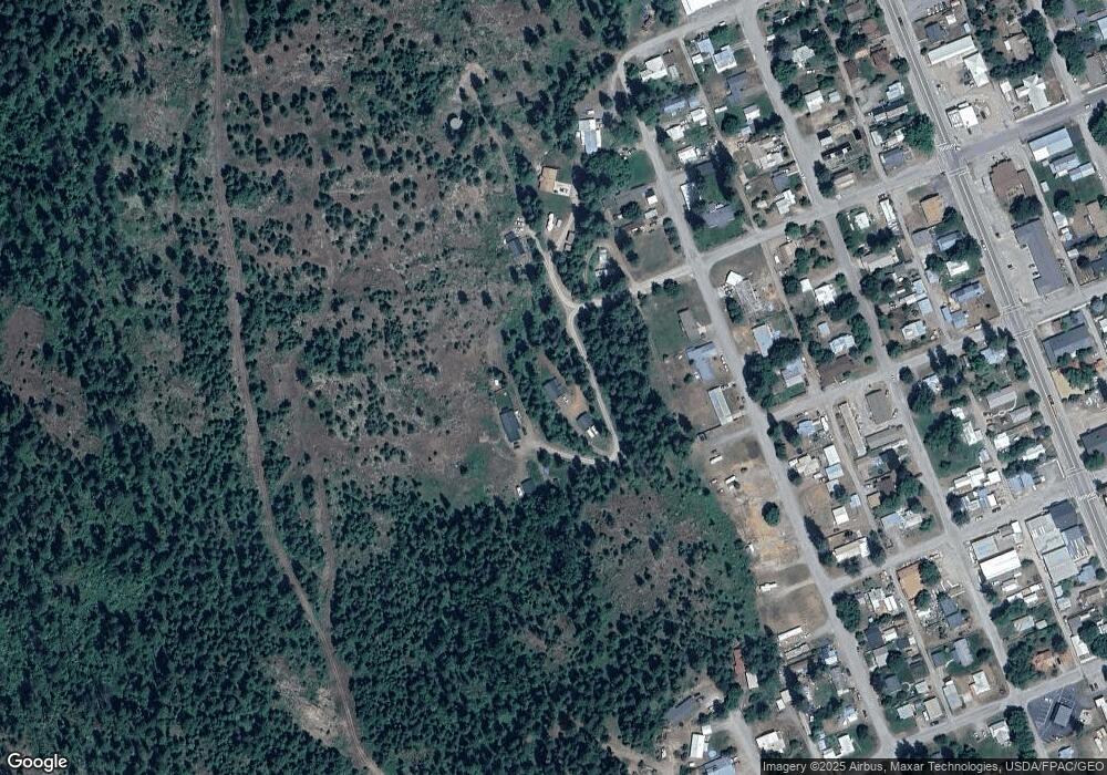
Map
Nearby Homes
- TBD E Dent Ave
- 312 Mineral Ave
- 210 E Missoula Ave
- 205 E Spokane Ave
- 106 N 6th St
- 707 E Grant Ave
- 267 Riverside Ave
- Parcel A N Kootenai Dr
- 0000 Obrien Creek Rd
- 1278 Hunts Mill Rd
- 12437 Us Highway 2
- 1268 Hunts Mill Rd
- Lot 1 River Rd
- 16995 Us Highway 2
- 181 Wapiti Way
- 87 Amber Rd
- 818 Lake Creek Rd
- 905 Freeman Ridge Rd
- Nhn S Side Rd
- 3022 S Side Rd
- 302 E Dent Ave
- 402 E Dent Ave
- 402 E Dent Troy Ave
- 213 E Dent Ave
- 302 E Grant Ave
- 306 E Grant Ave
- 310 E Grant Ave
- 301 E Grant Ave
- 209 E Dent Ave
- 305 E Grant Ave
- 208, Troy S 4th St
- 206 E Grant Ave
- 401 E Grant Ave
- 208 E Grant Ave
- 405 E Grant Ave
- 0 Campbell Dr Unit 299419
- 211 E Grant Ave
- 207 E Grant Ave
- 412 E Grant Ave
- Tbd 3rd St