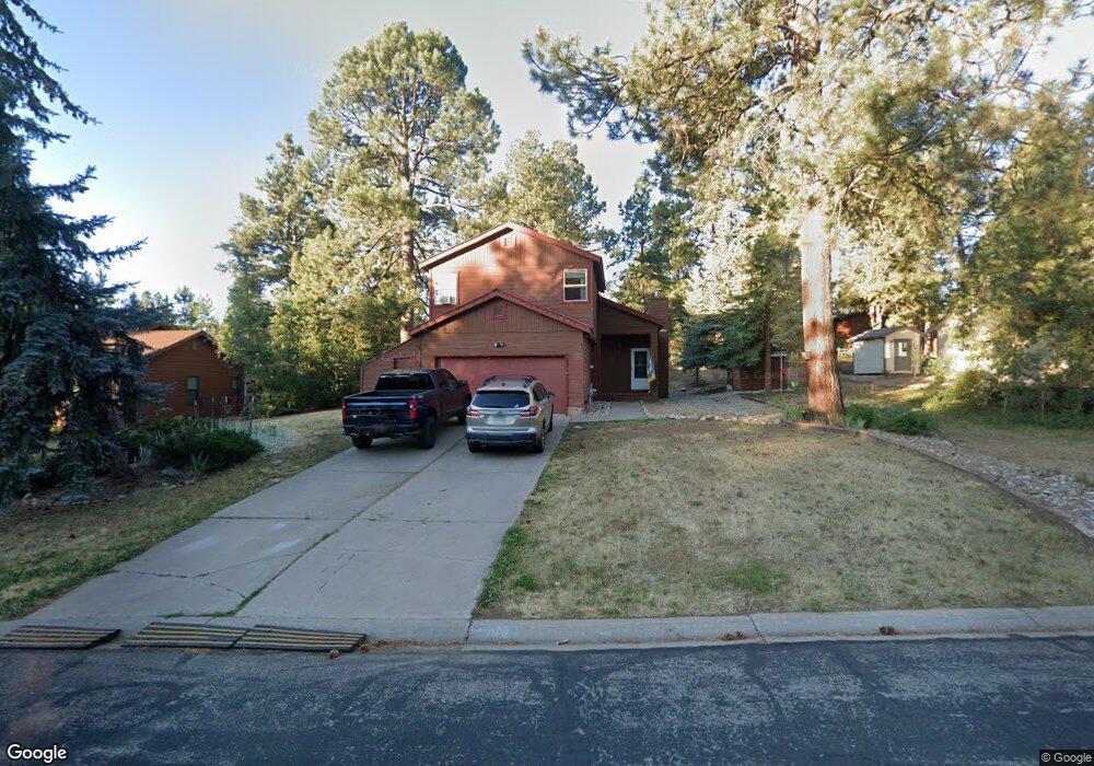
302 Fir Dr Unit Durango West 2 Durango, CO 81301
Durango West NeighborhoodEstimated Value: $720,845 - $765,000
4
Beds
3
Baths
1,824
Sq Ft
$411/Sq Ft
Est. Value
About This Home
This home is located at 302 Fir Dr Unit Durango West 2, Durango, CO 81301 and is currently estimated at $748,961, approximately $410 per square foot. 302 Fir Dr Unit Durango West 2 is a home located in La Plata County with nearby schools including Park Elementary School, Escalante Middle School, and Durango High School.
Ownership History
Date
Name
Owned For
Owner Type
Purchase Details
Closed on
May 8, 2001
Bought by
Garand Leo E and Garand Krista M
Current Estimated Value
Create a Home Valuation Report for This Property
The Home Valuation Report is an in-depth analysis detailing your home's value as well as a comparison with similar homes in the area
Home Values in the Area
Average Home Value in this Area
Purchase History
| Date | Buyer | Sale Price | Title Company |
|---|---|---|---|
| Garand Leo E | $190,000 | -- |
Source: Public Records
Tax History Compared to Growth
Tax History
| Year | Tax Paid | Tax Assessment Tax Assessment Total Assessment is a certain percentage of the fair market value that is determined by local assessors to be the total taxable value of land and additions on the property. | Land | Improvement |
|---|---|---|---|---|
| 2025 | $1,336 | $39,320 | $9,200 | $30,120 |
| 2024 | $1,144 | $27,240 | $7,020 | $20,220 |
| 2023 | $1,144 | $30,210 | $7,790 | $22,420 |
| 2022 | $1,081 | $32,080 | $8,270 | $23,810 |
| 2021 | $1,087 | $26,200 | $8,010 | $18,190 |
| 2020 | $1,028 | $25,540 | $7,470 | $18,070 |
| 2019 | $985 | $25,540 | $7,470 | $18,070 |
| 2018 | $922 | $23,920 | $7,520 | $16,400 |
| 2017 | $902 | $23,920 | $7,520 | $16,400 |
| 2016 | $875 | $25,140 | $8,320 | $16,820 |
| 2015 | $823 | $25,140 | $8,320 | $16,820 |
| 2014 | -- | $22,420 | $8,320 | $14,100 |
| 2013 | -- | $22,420 | $8,320 | $14,100 |
Source: Public Records
Map
Nearby Homes
- 678 N Lakeside Dr
- 23 Hunter Ct
- 199 Timber Dr
- 178 Canyon Creek Trail
- 719 Terlun Dr
- TBD Vaquero Way
- 351 Cherry Gulch Rd
- 307 Deer Trail Rd
- 717 Zane Dr
- 1310 W Meadow Rd
- 1969 County Road 142
- 51 Shenandoah Cir
- 152 Lane Dr
- 152 Peak Trail Dr
- 337 Zane Dr
- 290 Blue Ridge
- 17235 Hwy 160
- 111 Rendezvous Trail
- 21121 Highway 140
- 199 Logging Trail Rd
- 302 Fir Dr
- 284 Fir Dr
- 324 Fir Dr
- 111 Pine Ridge Loop
- 89 Pine Ridge Loop
- 131 Pine Ridge Loop
- 266 Fir Dr
- 344 Fir Dr
- 67 Pine Ridge Rd
- 293 Fir Dr
- 67 Pine Ridge Loop
- 311 Fir Dr
- 151 Pine Ridge Loop Unit II
- 39 Pine Ridge Loop
- 333 Fir Dr
- 269 Fir Dr
- 364 Fir Dr
- 246 Fir Dr Unit II
- 132 Pine Ridge Loop
- 169 Pine Ridge Loop