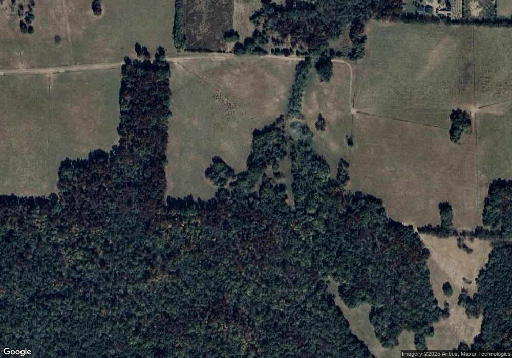
302 Gant Rd Shelbyville, TN 37160
Estimated Value: $579,000 - $1,753,827
--
Bed
1
Bath
1,600
Sq Ft
$783/Sq Ft
Est. Value
About This Home
This home is located at 302 Gant Rd, Shelbyville, TN 37160 and is currently estimated at $1,252,609, approximately $782 per square foot. 302 Gant Rd is a home located in Bedford County with nearby schools including Liberty Elementary School.
Ownership History
Date
Name
Owned For
Owner Type
Purchase Details
Closed on
Sep 5, 2025
Sold by
Deal James Allen
Bought by
Deal Linda Joy and Deal Cole W
Current Estimated Value
Purchase Details
Closed on
May 2, 2002
Sold by
Deal Lynn A
Bought by
Deal James A
Purchase Details
Closed on
Apr 16, 1996
Sold by
Sellwood Raymond and Sellwood Willa
Bought by
Deal James and Deal Lynn
Purchase Details
Closed on
Apr 8, 1996
Sold by
Sellwood Raymond and Sellwood Willa
Bought by
Sellwood Thomas and Sellwood Elaine
Purchase Details
Closed on
Nov 23, 1992
Bought by
Sellwood Raymond W
Purchase Details
Closed on
Dec 30, 1991
Bought by
Sellwood Raymond W
Purchase Details
Closed on
Dec 19, 1983
Bought by
First National Bank
Create a Home Valuation Report for This Property
The Home Valuation Report is an in-depth analysis detailing your home's value as well as a comparison with similar homes in the area
Home Values in the Area
Average Home Value in this Area
Purchase History
| Date | Buyer | Sale Price | Title Company |
|---|---|---|---|
| Deal Linda Joy | -- | None Listed On Document | |
| Deal Linda Joy | -- | None Listed On Document | |
| Deal James A | -- | -- | |
| Deal James | $375,000 | -- | |
| Sellwood Thomas | -- | -- | |
| Sellwood Raymond W | -- | -- | |
| Sellwood Raymond W | $275,000 | -- | |
| First National Bank | -- | -- |
Source: Public Records
Tax History Compared to Growth
Tax History
| Year | Tax Paid | Tax Assessment Tax Assessment Total Assessment is a certain percentage of the fair market value that is determined by local assessors to be the total taxable value of land and additions on the property. | Land | Improvement |
|---|---|---|---|---|
| 2025 | $3,180 | $136,750 | $0 | $0 |
| 2024 | $3,180 | $136,750 | $99,525 | $37,225 |
| 2023 | $3,151 | $135,525 | $99,525 | $36,000 |
| 2022 | $3,151 | $135,525 | $99,525 | $36,000 |
| 2021 | $2,663 | $135,525 | $99,525 | $36,000 |
| 2020 | $2,961 | $135,525 | $99,525 | $36,000 |
| 2019 | $2,961 | $111,300 | $84,975 | $26,325 |
| 2018 | $2,849 | $111,300 | $84,975 | $26,325 |
| 2017 | $2,849 | $111,300 | $84,975 | $26,325 |
| 2014 | $2,131 | $93,888 | $0 | $0 |
Source: Public Records
Map
Nearby Homes
- 0 Henderson Rd
- 163 Gant Rd
- 2028 Highway 64 W
- 0 Bethlehem Church Rd
- 2154 Highway 64 W
- 422 Bethlehem Church Rd
- 344 Whitaker Rd
- 129 John Shaw Rd
- 245 Henslee Rd
- 190 Harrison Ln
- 201 John Shaw Rd
- 392 Adams Rd
- 384 Adams Rd
- 0 Sims Rd
- 3018 Sims Rd
- 8 Mount Lebanon Church Rd
- 5 Mount Lebanon Church Rd
- 6 Mount Lebanon Church Rd
- 330 John Shaw Rd
- 0 Pass Rd
