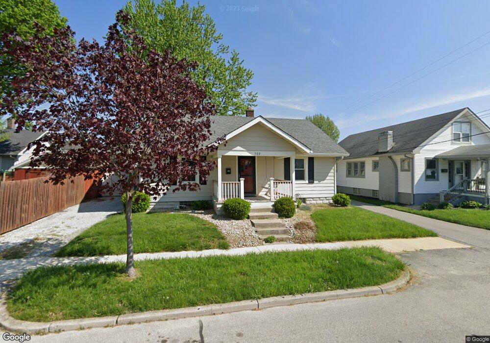
302 Herriott St Franklin, IN 46131
Estimated Value: $108,000 - $193,000
2
Beds
1
Bath
974
Sq Ft
$160/Sq Ft
Est. Value
About This Home
This home is located at 302 Herriott St, Franklin, IN 46131 and is currently estimated at $155,691, approximately $159 per square foot. 302 Herriott St is a home located in Johnson County with nearby schools including Northwood Elementary School, Franklin Community Middle School, and Custer Baker Intermediate School.
Ownership History
Date
Name
Owned For
Owner Type
Purchase Details
Closed on
Sep 20, 2024
Sold by
Perry Brett M and Perry Nella Jean
Bought by
Perry Laura Machelle
Current Estimated Value
Home Financials for this Owner
Home Financials are based on the most recent Mortgage that was taken out on this home.
Original Mortgage
$87,300
Outstanding Balance
$86,319
Interest Rate
6.47%
Mortgage Type
New Conventional
Estimated Equity
$69,372
Purchase Details
Closed on
Dec 11, 2015
Sold by
Meyers Jeffrey A
Bought by
Perry Brett M and Perry Jean Perry
Create a Home Valuation Report for This Property
The Home Valuation Report is an in-depth analysis detailing your home's value as well as a comparison with similar homes in the area
Home Values in the Area
Average Home Value in this Area
Purchase History
| Date | Buyer | Sale Price | Title Company |
|---|---|---|---|
| Perry Laura Machelle | $90,000 | None Listed On Document | |
| Perry Brett M | $59,000 | -- |
Source: Public Records
Mortgage History
| Date | Status | Borrower | Loan Amount |
|---|---|---|---|
| Open | Perry Laura Machelle | $87,300 |
Source: Public Records
Tax History
| Year | Tax Paid | Tax Assessment Tax Assessment Total Assessment is a certain percentage of the fair market value that is determined by local assessors to be the total taxable value of land and additions on the property. | Land | Improvement |
|---|---|---|---|---|
| 2025 | $923 | $94,200 | $10,800 | $83,400 |
| 2024 | $923 | $101,100 | $10,800 | $90,300 |
| 2023 | $2,062 | $92,500 | $10,800 | $81,700 |
| 2022 | $1,884 | $84,300 | $10,800 | $73,500 |
| 2021 | $1,584 | $70,800 | $10,100 | $60,700 |
| 2020 | $1,595 | $71,300 | $10,100 | $61,200 |
| 2019 | $1,530 | $68,600 | $6,500 | $62,100 |
| 2018 | $1,242 | $62,100 | $6,500 | $55,600 |
| 2017 | $1,168 | $58,400 | $6,500 | $51,900 |
| 2016 | $1,094 | $55,200 | $6,500 | $48,700 |
| 2014 | $992 | $50,900 | $10,100 | $40,800 |
| 2013 | $992 | $49,600 | $10,100 | $39,500 |
Source: Public Records
Map
Nearby Homes
- 198 W King St
- 0 W 900 Hwy Unit 202537998
- 159 E King St
- 601 Duane St
- 698 Yandes St
- 227 E Jefferson St
- 21 14th St
- 178 S Water St Unit F
- 76 E Wayne St Unit B
- 750 Hurricane St
- 598 Kentucky St
- 925 Mallory Pkwy
- 690 E Jefferson St
- 151 Julia St
- 1860 Churchill Rd
- 1046 Ebony Cir
- 1110 Hillview Dr
- 1149 Heritage Trail
- 1102 E Jefferson St
- 631 N Shore Blvd
Your Personal Tour Guide
Ask me questions while you tour the home.