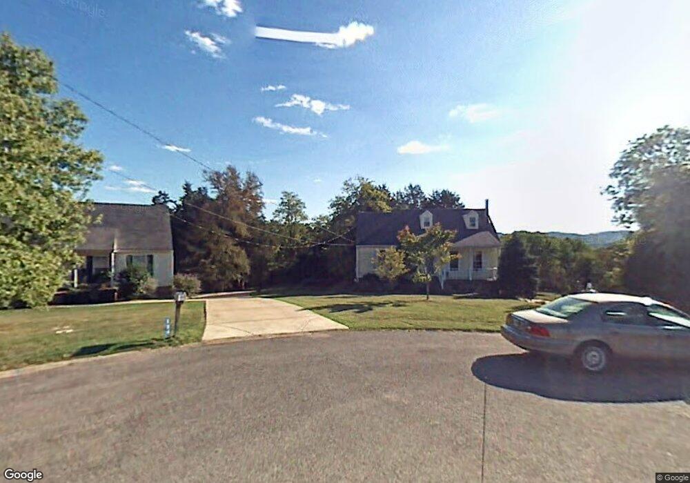
302 Honey Ct Nolensville, TN 37135
Estimated Value: $428,815 - $568,000
--
Bed
2
Baths
1,468
Sq Ft
$339/Sq Ft
Est. Value
About This Home
This home is located at 302 Honey Ct, Nolensville, TN 37135 and is currently estimated at $498,204, approximately $339 per square foot. 302 Honey Ct is a home located in Williamson County with nearby schools including Nolensville Elementary School, Mill Creek Middle School, and Nolensville High School.
Ownership History
Date
Name
Owned For
Owner Type
Purchase Details
Closed on
May 9, 2023
Sold by
Bauer Michael R and Bauer Kristin L
Bought by
Michael Robert Bauer And Kristin Leah Bauer T and Bauer
Current Estimated Value
Purchase Details
Closed on
Apr 26, 2001
Sold by
Greene Fred and Greene Ellen Greene
Bought by
Bauer Michael R and Bauer Kristin L
Home Financials for this Owner
Home Financials are based on the most recent Mortgage that was taken out on this home.
Original Mortgage
$106,900
Interest Rate
6.9%
Create a Home Valuation Report for This Property
The Home Valuation Report is an in-depth analysis detailing your home's value as well as a comparison with similar homes in the area
Home Values in the Area
Average Home Value in this Area
Purchase History
| Date | Buyer | Sale Price | Title Company |
|---|---|---|---|
| Michael Robert Bauer And Kristin Leah Bauer T | -- | None Listed On Document | |
| Bauer Michael R | $125,900 | -- |
Source: Public Records
Mortgage History
| Date | Status | Borrower | Loan Amount |
|---|---|---|---|
| Previous Owner | Bauer Michael R | $106,900 |
Source: Public Records
Tax History Compared to Growth
Tax History
| Year | Tax Paid | Tax Assessment Tax Assessment Total Assessment is a certain percentage of the fair market value that is determined by local assessors to be the total taxable value of land and additions on the property. | Land | Improvement |
|---|---|---|---|---|
| 2025 | $1,558 | $116,900 | $47,500 | $69,400 |
| 2024 | $1,558 | $71,800 | $21,250 | $50,550 |
| 2023 | $1,558 | $71,800 | $21,250 | $50,550 |
| 2022 | $1,558 | $71,800 | $21,250 | $50,550 |
| 2021 | $1,558 | $71,800 | $21,250 | $50,550 |
| 2020 | $1,350 | $53,800 | $15,000 | $38,800 |
| 2019 | $1,275 | $53,800 | $15,000 | $38,800 |
| 2018 | $1,238 | $53,800 | $15,000 | $38,800 |
| 2017 | $1,227 | $53,800 | $15,000 | $38,800 |
| 2016 | $1,211 | $53,800 | $15,000 | $38,800 |
| 2015 | -- | $44,225 | $12,500 | $31,725 |
| 2014 | -- | $44,225 | $12,500 | $31,725 |
Source: Public Records
Map
Nearby Homes
- 1228 Countryside Rd
- 607 Quarter Horse Ln
- 3025 Ash Dale Ln
- 3051 Ash Dale Ln
- 3019 Ash Dale Ln
- 3027 Ash Dale Ln
- 825 Piccadilly Dr
- 829 Stonebrook Blvd
- 904 Inglenook Ct
- 0 Nolensville Rd Unit RTC2807764
- 0 Nolensville Rd Unit RTC2818506
- 0 Bostic Unit RTC2516475
- 0 Nolensville Rd Unit RTC3017763
- 1115 Oak Creek Dr
- 813 Stonebrook Blvd
- 1016 Dortch Ln
- 625 Mer Rouge Dr
- 720 Stonecastle Place
- 1049 Kirkpark Ct
- 1117 Millshed Dr
- 304 Honey Ct
- 1226 Countryside Rd
- 303 Honey Ct
- 301R Honey Ct
- 301 Honey Ct
- 1221 Creekside Dr
- 1223 Creekside Dr
- 1225 Creekside Dr
- 1222 Countryside Rd
- 725 Cowan Dr
- 1219 Creekside Dr
- 727 Cowan Dr
- 723 Cowan Dr
- 729 Cowan Dr
- 1227 Countryside Rd
- 1232 Countryside Rd
- 611 Quarter Horse Ln
- 731 Cowan Dr
- 719 Cowan Dr
- 721 Cowan Dr