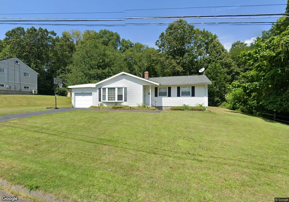
302 Jackson Rd Enfield, CT 06082
Estimated Value: $322,985 - $360,000
3
Beds
2
Baths
1,180
Sq Ft
$282/Sq Ft
Est. Value
About This Home
This home is located at 302 Jackson Rd, Enfield, CT 06082 and is currently estimated at $333,246, approximately $282 per square foot. 302 Jackson Rd is a home located in Hartford County with nearby schools including Nathan Hale Elementary School, Eli Whitney Elementary School, and Enfield High School.
Ownership History
Date
Name
Owned For
Owner Type
Purchase Details
Closed on
Jan 4, 2021
Sold by
Wood Sara J
Bought by
Davis Dawud
Current Estimated Value
Home Financials for this Owner
Home Financials are based on the most recent Mortgage that was taken out on this home.
Original Mortgage
$20,000
Outstanding Balance
$17,645
Interest Rate
2.71%
Mortgage Type
New Conventional
Estimated Equity
$315,601
Purchase Details
Closed on
Mar 27, 2009
Sold by
Bullock Michael and Bullock Heather
Bought by
Davis Dawud
Purchase Details
Closed on
Apr 14, 2000
Sold by
Firth Lois
Bought by
Bullock Michael and Battige Heather
Create a Home Valuation Report for This Property
The Home Valuation Report is an in-depth analysis detailing your home's value as well as a comparison with similar homes in the area
Home Values in the Area
Average Home Value in this Area
Purchase History
| Date | Buyer | Sale Price | Title Company |
|---|---|---|---|
| Davis Dawud | -- | None Available | |
| Davis Dawud | $195,000 | -- | |
| Bullock Michael | $117,500 | -- |
Source: Public Records
Mortgage History
| Date | Status | Borrower | Loan Amount |
|---|---|---|---|
| Open | Davis Dawud | $20,000 | |
| Previous Owner | Bullock Michael | $175,000 | |
| Previous Owner | Bullock Michael | $179,588 | |
| Previous Owner | Bullock Michael | $187,314 |
Source: Public Records
Tax History
| Year | Tax Paid | Tax Assessment Tax Assessment Total Assessment is a certain percentage of the fair market value that is determined by local assessors to be the total taxable value of land and additions on the property. | Land | Improvement |
|---|---|---|---|---|
| 2025 | $5,567 | $158,600 | $56,900 | $101,700 |
| 2024 | $5,362 | $158,600 | $56,900 | $101,700 |
| 2023 | $5,323 | $158,600 | $56,900 | $101,700 |
| 2022 | $4,899 | $158,600 | $56,900 | $101,700 |
| 2021 | $4,670 | $124,300 | $47,120 | $77,180 |
| 2020 | $4,639 | $124,300 | $47,120 | $77,180 |
| 2019 | $4,633 | $124,300 | $47,120 | $77,180 |
| 2018 | $4,508 | $124,300 | $47,120 | $77,180 |
| 2017 | $4,236 | $124,300 | $47,120 | $77,180 |
| 2016 | $4,130 | $123,790 | $48,340 | $75,450 |
| 2015 | $4,003 | $123,790 | $48,340 | $75,450 |
| 2014 | $3,903 | $123,790 | $48,340 | $75,450 |
Source: Public Records
Map
Nearby Homes
Your Personal Tour Guide
Ask me questions while you tour the home.