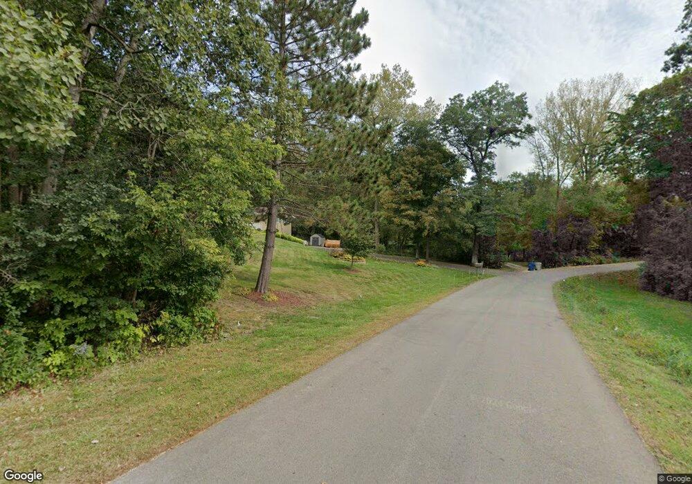
302 Mantor Dr Mantorville, MN 55955
Estimated Value: $367,000 - $446,000
2
Beds
3
Baths
1,740
Sq Ft
$235/Sq Ft
Est. Value
About This Home
This home is located at 302 Mantor Dr, Mantorville, MN 55955 and is currently estimated at $408,500, approximately $234 per square foot. 302 Mantor Dr is a home located in Dodge County with nearby schools including Kasson-Mantorville Elementary School, Kasson-Mantorville Middle School, and Kasson-Mantorville Senior High School.
Ownership History
Date
Name
Owned For
Owner Type
Purchase Details
Closed on
May 29, 2008
Sold by
Blom Robert G and Blom Kari R
Bought by
Blair Henry G and Blair Hilary E
Current Estimated Value
Home Financials for this Owner
Home Financials are based on the most recent Mortgage that was taken out on this home.
Original Mortgage
$192,750
Outstanding Balance
$123,940
Interest Rate
6.09%
Mortgage Type
New Conventional
Estimated Equity
$284,560
Create a Home Valuation Report for This Property
The Home Valuation Report is an in-depth analysis detailing your home's value as well as a comparison with similar homes in the area
Home Values in the Area
Average Home Value in this Area
Purchase History
| Date | Buyer | Sale Price | Title Company |
|---|---|---|---|
| Blair Henry G | $202,900 | Rochester Title |
Source: Public Records
Mortgage History
| Date | Status | Borrower | Loan Amount |
|---|---|---|---|
| Open | Blair Henry G | $192,750 |
Source: Public Records
Tax History Compared to Growth
Tax History
| Year | Tax Paid | Tax Assessment Tax Assessment Total Assessment is a certain percentage of the fair market value that is determined by local assessors to be the total taxable value of land and additions on the property. | Land | Improvement |
|---|---|---|---|---|
| 2025 | $4,780 | $346,700 | $110,000 | $236,700 |
| 2024 | $4,672 | $343,100 | $110,000 | $233,100 |
| 2023 | $4,672 | $318,000 | $110,000 | $208,000 |
| 2022 | $4,612 | $305,300 | $42,200 | $263,100 |
| 2021 | $4,492 | $270,400 | $42,200 | $228,200 |
| 2020 | $4,228 | $262,800 | $42,200 | $220,600 |
| 2019 | $4,112 | $247,800 | $42,200 | $205,600 |
| 2018 | $3,764 | $232,500 | $42,200 | $190,300 |
| 2017 | $3,962 | $206,400 | $42,200 | $164,200 |
| 2016 | $3,928 | $209,500 | $42,200 | $167,300 |
| 2015 | $3,159 | $202,600 | $42,200 | $160,400 |
| 2014 | $2,834 | $0 | $0 | $0 |
Source: Public Records
Map
Nearby Homes
- 421 Clay St
- 24575 615th St
- 321 5th St W
- 1007 Blanch Ct
- 20 Amy Ln
- 647 Stagecoach Rd
- 2109 6th Ave NE
- 814 19th St NE
- 1504 14th Ave NE
- 1202 15th St NE
- 1408 14th Ave NE
- 1000 12th Place NW
- 1803 20th Avenue Cir NE
- 1007 11th Ave NW
- Townhome Plan at Bigelow-Voigt Eighth
- 1307 12th St NW
- Two-Story Plan at Komet Acres
- 901 8th Ave NE
- 1601 21st Ave NE
- 803 8th St NW
