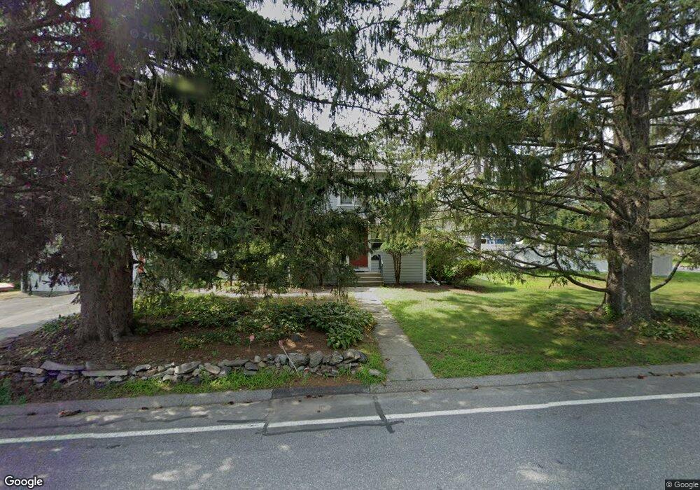
302 Maple St West Boylston, MA 01583
Estimated Value: $472,648 - $542,000
3
Beds
2
Baths
1,350
Sq Ft
$365/Sq Ft
Est. Value
About This Home
This home is located at 302 Maple St, West Boylston, MA 01583 and is currently estimated at $492,412, approximately $364 per square foot. 302 Maple St is a home located in Worcester County with nearby schools including Major Edwards Elementary School, West Boylston Junior/Senior High School, and Abby Kelley Foster Charter Public School.
Ownership History
Date
Name
Owned For
Owner Type
Purchase Details
Closed on
Apr 28, 2000
Sold by
Guida Patricia M and Guida Linda
Bought by
Rinne Patrick D and Rinne Virginia P
Current Estimated Value
Home Financials for this Owner
Home Financials are based on the most recent Mortgage that was taken out on this home.
Original Mortgage
$147,900
Interest Rate
8.23%
Mortgage Type
Purchase Money Mortgage
Create a Home Valuation Report for This Property
The Home Valuation Report is an in-depth analysis detailing your home's value as well as a comparison with similar homes in the area
Home Values in the Area
Average Home Value in this Area
Purchase History
| Date | Buyer | Sale Price | Title Company |
|---|---|---|---|
| Rinne Patrick D | $184,900 | -- | |
| Rinne Patrick D | $184,900 | -- |
Source: Public Records
Mortgage History
| Date | Status | Borrower | Loan Amount |
|---|---|---|---|
| Open | Rinne Patrick D | $138,146 | |
| Closed | Rinne Patrick D | $150,000 | |
| Closed | Rinne Patrick D | $153,000 | |
| Closed | Rinne Patrick D | $147,900 |
Source: Public Records
Tax History
| Year | Tax Paid | Tax Assessment Tax Assessment Total Assessment is a certain percentage of the fair market value that is determined by local assessors to be the total taxable value of land and additions on the property. | Land | Improvement |
|---|---|---|---|---|
| 2025 | $54 | $389,200 | $102,700 | $286,500 |
| 2024 | $5,142 | $347,900 | $102,700 | $245,200 |
| 2023 | $5,473 | $351,300 | $101,900 | $249,400 |
| 2022 | $4,910 | $277,700 | $101,900 | $175,800 |
| 2021 | $4,949 | $268,100 | $98,600 | $169,500 |
| 2020 | $4,580 | $246,500 | $98,600 | $147,900 |
| 2019 | $4,407 | $233,800 | $98,600 | $135,200 |
| 2018 | $4,188 | $223,700 | $98,600 | $125,100 |
| 2017 | $4,157 | $221,100 | $98,600 | $122,500 |
| 2016 | $3,965 | $214,900 | $91,900 | $123,000 |
| 2015 | $3,809 | $207,700 | $91,000 | $116,700 |
Source: Public Records
Map
Nearby Homes
- 48 Whispering Pine Cir Unit 48
- 20 Highland Ave
- 1 Highland Ave
- 6 Meadowbrook Dr
- 33 Santoro Rd
- 55 Apthorp St
- 71 Hillside Village Dr
- 1110 W Boylston St Unit A
- 12 Beale St
- 10 Beale St
- 69 Santoro Rd
- 31 Danielles Way
- 22 Danielles Way
- 26 Danielles Way
- 504 Prospect St
- 30 Osgood Ave
- 38 Juniper Ln
- 39 Mountainshire Dr
- 4 Winston Rd
- 12 Pinecroft Ave
Your Personal Tour Guide
Ask me questions while you tour the home.