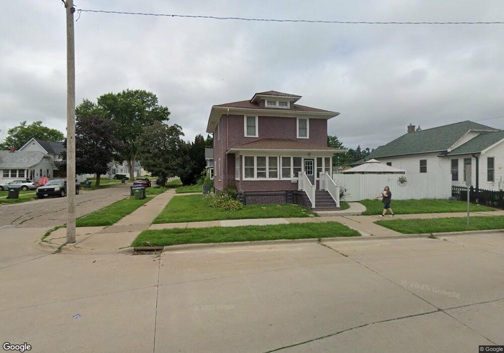
302 N 5th St Clinton, IA 52732
Estimated Value: $71,000 - $88,000
3
Beds
1
Bath
1,456
Sq Ft
$54/Sq Ft
Est. Value
About This Home
This home is located at 302 N 5th St, Clinton, IA 52732 and is currently estimated at $78,951, approximately $54 per square foot. 302 N 5th St is a home located in Clinton County with nearby schools including Jefferson Elementary School, Clinton Middle School, and Clinton High School.
Ownership History
Date
Name
Owned For
Owner Type
Purchase Details
Closed on
May 7, 2009
Sold by
Ramsey Anthony D
Bought by
Ramsey Anthony D and Ramsey Linda M
Current Estimated Value
Purchase Details
Closed on
Jan 3, 2005
Sold by
Feller Kenneth M and Feller Lisa
Bought by
Schmidt Leon F and Schmidt Deborah M
Home Financials for this Owner
Home Financials are based on the most recent Mortgage that was taken out on this home.
Original Mortgage
$39,600
Interest Rate
5.78%
Mortgage Type
New Conventional
Create a Home Valuation Report for This Property
The Home Valuation Report is an in-depth analysis detailing your home's value as well as a comparison with similar homes in the area
Home Values in the Area
Average Home Value in this Area
Purchase History
| Date | Buyer | Sale Price | Title Company |
|---|---|---|---|
| Ramsey Anthony D | -- | None Available | |
| Schmidt Leon F | $44,000 | None Available |
Source: Public Records
Mortgage History
| Date | Status | Borrower | Loan Amount |
|---|---|---|---|
| Closed | Schmidt Leon F | $39,600 |
Source: Public Records
Tax History Compared to Growth
Tax History
| Year | Tax Paid | Tax Assessment Tax Assessment Total Assessment is a certain percentage of the fair market value that is determined by local assessors to be the total taxable value of land and additions on the property. | Land | Improvement |
|---|---|---|---|---|
| 2024 | $1,398 | $75,160 | $7,490 | $67,670 |
| 2023 | $1,378 | $75,160 | $7,490 | $67,670 |
| 2022 | $1,058 | $48,412 | $5,111 | $43,301 |
| 2021 | $1,118 | $48,412 | $5,111 | $43,301 |
| 2020 | $1,118 | $48,412 | $5,111 | $43,301 |
| 2019 | $1,154 | $48,412 | $0 | $0 |
| 2018 | $1,124 | $48,412 | $0 | $0 |
| 2017 | $1,156 | $48,412 | $0 | $0 |
| 2016 | $1,118 | $48,412 | $0 | $0 |
| 2015 | $1,118 | $48,412 | $0 | $0 |
| 2014 | $1,122 | $48,412 | $0 | $0 |
| 2013 | $1,108 | $0 | $0 | $0 |
Source: Public Records
Map
Nearby Homes
- 500 4th Ave N
- 504 6th Ave N
- 510 6th Ave N
- 515 1st Ave
- 620 N 4th St
- 348 6th Ave N
- 312 N 3rd St
- 700 N Bluff Blvd
- 237 1st Ave
- 704 N 3rd St
- 728 Park Place
- 515 Woodland Dr
- 226 2nd Ave S
- 244 3rd Ave S Unit 1
- 525 4th Ave S
- 828 Park Place
- 633 4th Ave S
- 431 5th Ave S Unit 17
- 1022 Hickory Hill Ct
- 591 Breezy Point Dr