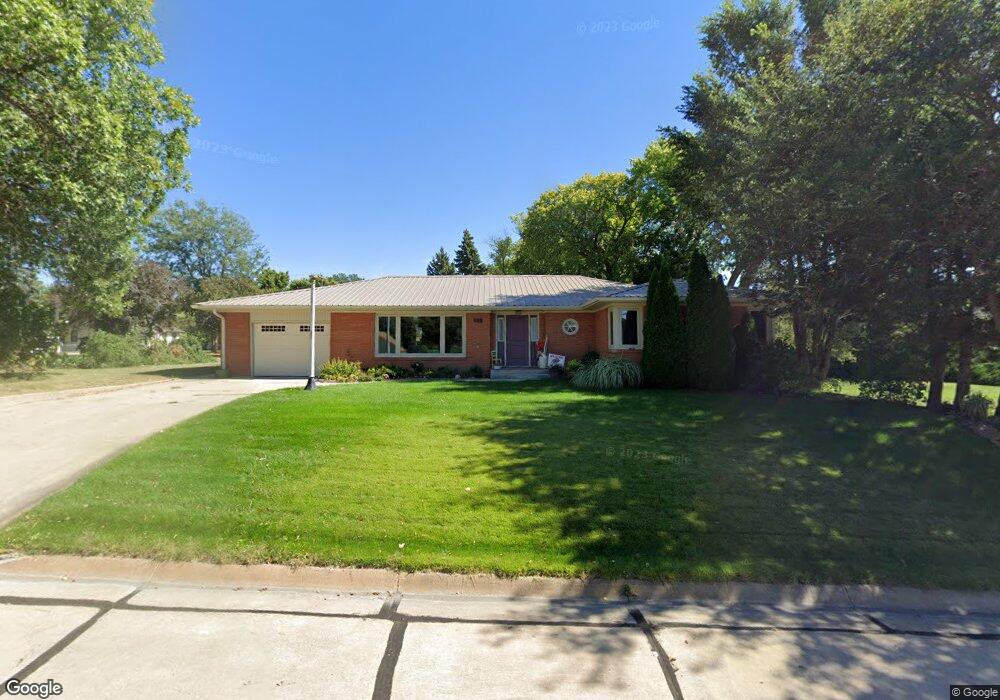
302 N Clay St Eustis, NE 69028
Estimated Value: $245,000 - $450,000
3
Beds
2
Baths
2,500
Sq Ft
$127/Sq Ft
Est. Value
About This Home
This home is located at 302 N Clay St, Eustis, NE 69028 and is currently estimated at $316,771, approximately $126 per square foot. 302 N Clay St is a home located in Frontier County with nearby schools including Elementary School at Eustis and Eustis-Farnam High School.
Ownership History
Date
Name
Owned For
Owner Type
Purchase Details
Closed on
Nov 6, 2006
Sold by
Huegtle Cheryl H
Bought by
Long Aaron N
Current Estimated Value
Home Financials for this Owner
Home Financials are based on the most recent Mortgage that was taken out on this home.
Original Mortgage
$10,500
Outstanding Balance
$6,228
Interest Rate
6.26%
Mortgage Type
New Conventional
Estimated Equity
$310,543
Create a Home Valuation Report for This Property
The Home Valuation Report is an in-depth analysis detailing your home's value as well as a comparison with similar homes in the area
Purchase History
| Date | Buyer | Sale Price | Title Company |
|---|---|---|---|
| Long Aaron N | $105,000 | None Available |
Source: Public Records
Mortgage History
| Date | Status | Borrower | Loan Amount |
|---|---|---|---|
| Open | Long Aaron N | $10,500 |
Source: Public Records
Tax History
| Year | Tax Paid | Tax Assessment Tax Assessment Total Assessment is a certain percentage of the fair market value that is determined by local assessors to be the total taxable value of land and additions on the property. | Land | Improvement |
|---|---|---|---|---|
| 2025 | $2,254 | $224,885 | $25,200 | $199,685 |
| 2024 | $2,943 | $224,885 | $25,200 | $199,685 |
| 2023 | $2,380 | $203,420 | $12,600 | $190,820 |
| 2022 | $2,380 | $172,439 | $12,600 | $159,839 |
| 2021 | $2,161 | $172,439 | $12,600 | $159,839 |
| 2020 | $1,910 | $152,491 | $7,000 | $145,491 |
| 2019 | $1,836 | $152,491 | $7,000 | $145,491 |
| 2018 | $800 | $152,491 | $7,000 | $145,491 |
| 2017 | $1,411 | $149,691 | $4,200 | $145,491 |
| 2016 | $1,449 | $122,464 | $5,565 | $116,899 |
| 2015 | $513 | $122,464 | $5,565 | $116,899 |
| 2014 | $1,356 | $98,864 | $5,565 | $93,299 |
Source: Public Records
Map
Nearby Homes
- 406 N Clay St
- 406 N Hamilton St
- 502 W Hendricks St
- 602 W Cameron
- 16 Burkholder Dr
- Lot 1 Reddington Farms Subdivision
- Lot 13 Reddington Farms Subdivision
- Lot 2 Reddington Farms Subdivision
- Lot 12 Reddington Farms Subdivision
- Lot 16 Reddington Farms Subdivision
- Lot 14 Reddington Farms Subdivision
- Lot 3 Reddington Farms Subdivision
- Lot 11 Reddington Farms Subdivision
- Lot 6 Reddington Farms Subdivision
- Lot 15 Reddington Farms Subdivision
- Lot 5 Reddington Farms Subdivision
- Lot 8 Reddington Farms Subdivision
- Lot 4 Reddington Farms Subdivision
- 85 Lakeview Acres Dr
- 95 Lakeview Acres Dr
- 402 W Anthony St
- 400 W Anthony St
- 301 N Clay St
- 303 N Clay St
- 307 N Hamilton St
- 305 N Hamilton St
- 402 W Cameron St
- 303 N Hamilton St
- 309 N Hamilton St
- 402 N Clay St
- 403 W Anthony St
- 301 N Hamilton St
- 403 N Clay St
- 302 N Wright St
- 202 N Hamilton St
- 404 N Clay St
- 207 N Hamilton St
- 401 N Hamilton St
- 202 N Clay St
- 405 N Hamilton St
Your Personal Tour Guide
Ask me questions while you tour the home.