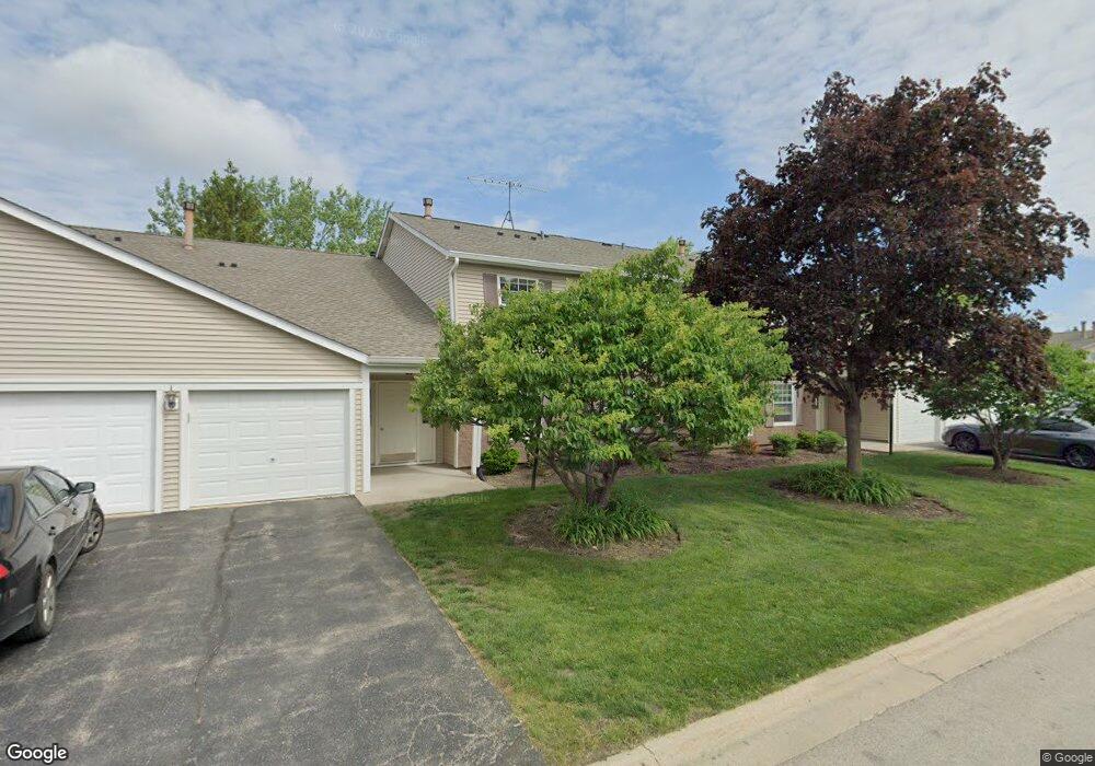
302 Newport Ln Unit A2 Bartlett, IL 60103
Estimated Value: $209,942 - $246,000
3
Beds
--
Bath
387,700
Sq Ft
$1/Sq Ft
Est. Value
About This Home
This home is located at 302 Newport Ln Unit A2, Bartlett, IL 60103 and is currently estimated at $223,986, approximately $0 per square foot. 302 Newport Ln Unit A2 is a home located in Cook County with nearby schools including Bartlett Elementary School, Eastview Middle School, and South Elgin High School.
Ownership History
Date
Name
Owned For
Owner Type
Purchase Details
Closed on
Apr 30, 1999
Sold by
Leone Deborah L
Bought by
Brown Timothy J
Current Estimated Value
Home Financials for this Owner
Home Financials are based on the most recent Mortgage that was taken out on this home.
Original Mortgage
$83,600
Outstanding Balance
$21,619
Interest Rate
7.05%
Estimated Equity
$202,367
Purchase Details
Closed on
Apr 26, 1996
Sold by
Fry James M
Bought by
Leone Deborah L
Home Financials for this Owner
Home Financials are based on the most recent Mortgage that was taken out on this home.
Original Mortgage
$83,800
Interest Rate
8.05%
Mortgage Type
FHA
Create a Home Valuation Report for This Property
The Home Valuation Report is an in-depth analysis detailing your home's value as well as a comparison with similar homes in the area
Home Values in the Area
Average Home Value in this Area
Purchase History
| Date | Buyer | Sale Price | Title Company |
|---|---|---|---|
| Brown Timothy J | $88,000 | -- | |
| Leone Deborah L | $87,000 | -- |
Source: Public Records
Mortgage History
| Date | Status | Borrower | Loan Amount |
|---|---|---|---|
| Open | Brown Timothy J | $83,600 | |
| Previous Owner | Leone Deborah L | $83,800 |
Source: Public Records
Tax History Compared to Growth
Tax History
| Year | Tax Paid | Tax Assessment Tax Assessment Total Assessment is a certain percentage of the fair market value that is determined by local assessors to be the total taxable value of land and additions on the property. | Land | Improvement |
|---|---|---|---|---|
| 2024 | $3,167 | $15,974 | $648 | $15,326 |
| 2023 | $1,681 | $15,974 | $648 | $15,326 |
| 2022 | $1,681 | $15,974 | $648 | $15,326 |
| 2021 | $1,741 | $11,346 | $551 | $10,795 |
| 2020 | $3,022 | $11,346 | $551 | $10,795 |
| 2019 | $3,056 | $12,750 | $551 | $12,199 |
| 2018 | $1,804 | $8,483 | $486 | $7,997 |
| 2017 | $1,795 | $8,483 | $486 | $7,997 |
| 2016 | $1,964 | $8,483 | $486 | $7,997 |
| 2015 | $1,481 | $6,798 | $421 | $6,377 |
| 2014 | $1,481 | $6,798 | $421 | $6,377 |
| 2013 | $1,404 | $6,798 | $421 | $6,377 |
Source: Public Records
Map
Nearby Homes
- 652 Mallard Ct Unit C1
- 387 Wilmington Dr Unit C
- 748 Sterling Ct Unit A2
- 759 Sterling Ct Unit A2
- 151 Peter Ct Unit B
- 145 Ann Ct Unit A
- 334 Joan Ct Unit B
- 179 Rita Ct Unit D
- 119 E Railroad Ave
- 747 Cove Ct
- 110 N Chase Ave
- 853 Voyager Dr
- 275 E Railroad Ave Unit 301
- 271 E Railroad Ave Unit 302
- 923 Capistrano Terrace
- 27W607 Devon Ave
- 937 Sandpiper Ct
- 6881 Hickory St
- 2187 Walnut Ave
- 6551 Center Ave
- 302 Newport Ln Unit B1
- 302 Newport Ln Unit B2
- 302 Newport Ln Unit A1
- 310 Newport Ln Unit C2
- 310 Newport Ln Unit D2
- 310 Newport Ln Unit C1
- 310 Newport Ln Unit 35A12
- 633 Mallard Ct Unit A2
- 633 Mallard Ct
- 633 Mallard Ct Unit A1
- 633 Mallard Ct Unit B2
- 633 Mallard Ct Unit C1
- 303 Newport Ln Unit C2
- 303 Newport Ln Unit D2
- 303 Newport Ln Unit D1
- 303 Newport Ln Unit C1
- 303 Newport Ln Unit D2
- 311 Newport Ln Unit B1
- 311 Newport Ln Unit A1
- 311 Newport Ln Unit A2