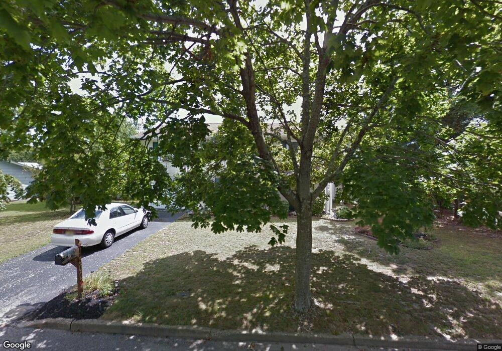
302 Pat Rd Barnegat, NJ 08005
Estimated Value: $399,765 - $645,000
4
Beds
2
Baths
1,808
Sq Ft
$281/Sq Ft
Est. Value
About This Home
This home is located at 302 Pat Rd, Barnegat, NJ 08005 and is currently estimated at $507,941, approximately $280 per square foot. 302 Pat Rd is a home located in Ocean County with nearby schools including Waretown Elementary School and Frederic A. Priff Elementary School.
Ownership History
Date
Name
Owned For
Owner Type
Purchase Details
Closed on
Sep 20, 2001
Sold by
Smith Nile
Bought by
Sutton Ellen
Current Estimated Value
Home Financials for this Owner
Home Financials are based on the most recent Mortgage that was taken out on this home.
Original Mortgage
$135,000
Outstanding Balance
$52,259
Interest Rate
6.89%
Estimated Equity
$455,682
Purchase Details
Closed on
Aug 20, 1998
Sold by
Caliguire Joseph A and Caliguire Sandra
Bought by
Smith Nile Robert and Smith Sharon
Create a Home Valuation Report for This Property
The Home Valuation Report is an in-depth analysis detailing your home's value as well as a comparison with similar homes in the area
Home Values in the Area
Average Home Value in this Area
Purchase History
| Date | Buyer | Sale Price | Title Company |
|---|---|---|---|
| Sutton Ellen | $155,000 | -- | |
| Smith Nile Robert | $88,000 | Transnation Title Insurance |
Source: Public Records
Mortgage History
| Date | Status | Borrower | Loan Amount |
|---|---|---|---|
| Open | Sutton Ellen | $135,000 |
Source: Public Records
Tax History Compared to Growth
Tax History
| Year | Tax Paid | Tax Assessment Tax Assessment Total Assessment is a certain percentage of the fair market value that is determined by local assessors to be the total taxable value of land and additions on the property. | Land | Improvement |
|---|---|---|---|---|
| 2025 | $5,031 | $333,400 | $118,600 | $214,800 |
| 2024 | $4,511 | $333,400 | $118,600 | $214,800 |
| 2023 | $4,220 | $194,200 | $79,000 | $115,200 |
| 2022 | $4,220 | $194,200 | $79,000 | $115,200 |
| 2021 | $3,835 | $194,200 | $79,000 | $115,200 |
| 2020 | $4,096 | $194,200 | $79,000 | $115,200 |
| 2019 | $4,016 | $194,200 | $79,000 | $115,200 |
| 2018 | $3,942 | $194,200 | $79,000 | $115,200 |
| 2017 | $3,808 | $194,200 | $79,000 | $115,200 |
| 2016 | $3,700 | $194,200 | $79,000 | $115,200 |
| 2015 | $3,602 | $194,200 | $79,000 | $115,200 |
| 2014 | $3,573 | $194,200 | $79,000 | $115,200 |
Source: Public Records
Map
Nearby Homes
- 301 6th St
- 107 6th St
- 168 Beverly Dr
- 25 Baybreeze Dr
- 21 Baybreeze Dr
- 13 Baybreeze Dr
- 29 Baybreeze Dr
- 17 Baybreeze Dr
- 27 Baybreeze Dr
- 23 Baybreeze Dr
- 19 Baybreeze Dr
- 37 Bay Breeze Dr
- 34 Baybreeze Dr
- 44 Baybreeze Dr
- 42 Baybreeze Dr
- 38 Baybreeze Dr
- 40 Baybreeze Dr
- LAFAYETTE Plan at Ocean Isle
- 36 Baybreeze Dr
- 21 Bay Breeze Dr