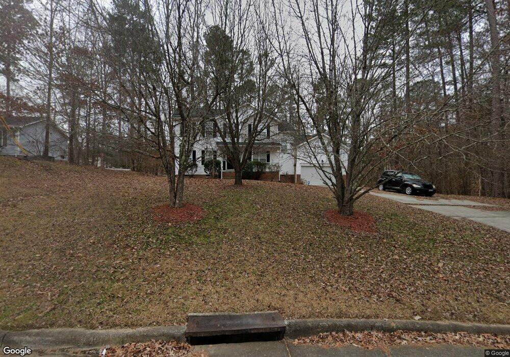
302 Pearson Dr Durham, NC 27713
Woodcroft NeighborhoodEstimated Value: $442,000 - $510,000
3
Beds
3
Baths
2,084
Sq Ft
$229/Sq Ft
Est. Value
About This Home
This home is located at 302 Pearson Dr, Durham, NC 27713 and is currently estimated at $478,117, approximately $229 per square foot. 302 Pearson Dr is a home located in Durham County with nearby schools including Southwest Elementary School, Morehead Montessori, and Sherwood Githens Middle.
Ownership History
Date
Name
Owned For
Owner Type
Purchase Details
Closed on
Sep 3, 2004
Sold by
Fozard Donald Q and Fozard Nora L
Bought by
Goodwin Cynthia
Current Estimated Value
Purchase Details
Closed on
Oct 15, 2003
Sold by
Fozard Donald Q and Fozard Nora L
Bought by
Goodwin Cynthia
Home Financials for this Owner
Home Financials are based on the most recent Mortgage that was taken out on this home.
Original Mortgage
$204,250
Interest Rate
7.62%
Mortgage Type
Purchase Money Mortgage
Create a Home Valuation Report for This Property
The Home Valuation Report is an in-depth analysis detailing your home's value as well as a comparison with similar homes in the area
Home Values in the Area
Average Home Value in this Area
Purchase History
| Date | Buyer | Sale Price | Title Company |
|---|---|---|---|
| Goodwin Cynthia | -- | -- | |
| Goodwin Cynthia | $215,000 | -- |
Source: Public Records
Mortgage History
| Date | Status | Borrower | Loan Amount |
|---|---|---|---|
| Previous Owner | Goodwin Cynthia | $204,250 |
Source: Public Records
Tax History
| Year | Tax Paid | Tax Assessment Tax Assessment Total Assessment is a certain percentage of the fair market value that is determined by local assessors to be the total taxable value of land and additions on the property. | Land | Improvement |
|---|---|---|---|---|
| 2025 | $5,017 | $506,071 | $134,125 | $371,946 |
| 2024 | $3,003 | $215,294 | $36,350 | $178,944 |
| 2023 | $2,820 | $215,294 | $36,350 | $178,944 |
| 2022 | $2,756 | $215,294 | $36,350 | $178,944 |
| 2021 | $2,743 | $215,294 | $36,350 | $178,944 |
| 2020 | $2,678 | $215,294 | $36,350 | $178,944 |
| 2019 | $2,678 | $215,294 | $36,350 | $178,944 |
| 2018 | $2,807 | $206,907 | $43,620 | $163,287 |
| 2017 | $2,786 | $206,907 | $43,620 | $163,287 |
| 2016 | $2,692 | $206,907 | $43,620 | $163,287 |
| 2015 | $2,774 | $200,367 | $38,017 | $162,350 |
| 2014 | $2,774 | $200,367 | $38,017 | $162,350 |
Source: Public Records
Map
Nearby Homes
- 5034 Mimosa Dr
- 4613 Lemongrass Ln
- 618 Turmeric Ln
- 4506 Dolwick Dr
- 1540 Brown St
- 1533 Brown St
- 25 Kissimee Ct
- 816 Hanson Rd
- 1063 Shoreside Dr
- 4419 Nightfall Ct
- 1017 Searstone Ct
- 311 Ebon Rd
- 1105 Searstone Ct
- 100 Stratford Lakes Dr Unit 150
- 100 Stratford Lakes Dr Unit 322
- 100 Stratford Lakes Dr Unit 227
- 5017 Tapestry Terrace
- 812 Beebe Dr
- 1163 Searstone Ct
- 4908 Tapestry Terrace
- 304 Pearson Dr
- 615 Branchview Dr
- 308 Pearson Dr
- 4820 Bay Point Dr
- 614 Branchview Dr
- 613 Branchview Dr
- 8 Windyrush Ct
- 303 Pearson Dr
- 303 Pearson Dr Unit 90
- 8 Ingram Ct
- 612 Branchview Dr
- 611 Branchview Dr
- 7 Windyrush Ct
- 9 Ingram Ct
- 7 Homestead Ct
- 309 Pearson Dr
- 5 Homestead Ct
- 6 Windyrush Ct
- 5 Windyrush Ct
- 216 Fallenwood Ave
Your Personal Tour Guide
Ask me questions while you tour the home.