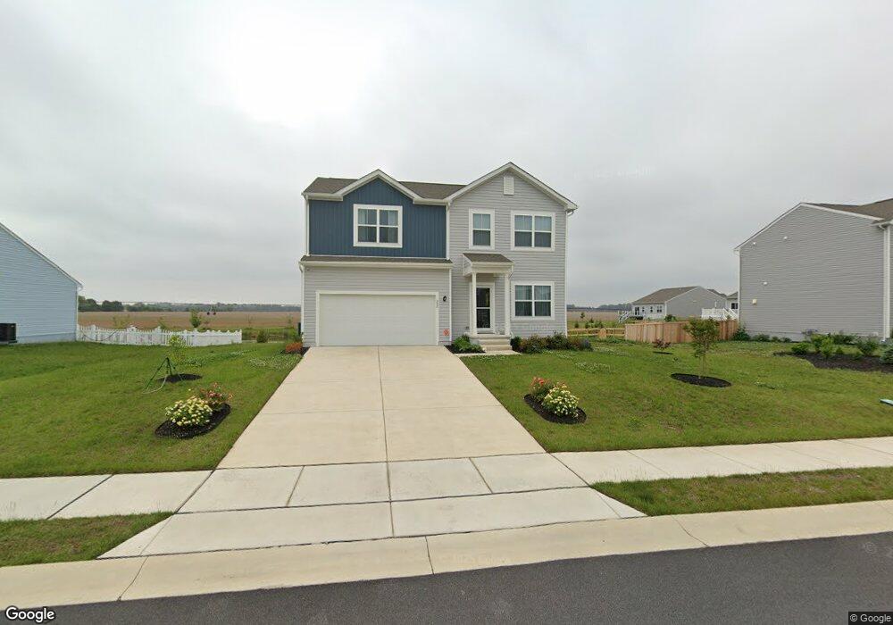
302 Pontoon Dr Felton, DE 19943
Estimated Value: $435,000 - $527,000
--
Bed
--
Bath
2,072
Sq Ft
$224/Sq Ft
Est. Value
About This Home
This home is located at 302 Pontoon Dr, Felton, DE 19943 and is currently estimated at $464,854, approximately $224 per square foot. 302 Pontoon Dr is a home with nearby schools including Lake Forest East Elementary School, Lake Forest Central Elementary School, and W.T. Chipman Middle School.
Ownership History
Date
Name
Owned For
Owner Type
Purchase Details
Closed on
Aug 24, 2023
Sold by
K Hovnanian At Fork Landing Llc
Bought by
Rose Karen Denise
Current Estimated Value
Home Financials for this Owner
Home Financials are based on the most recent Mortgage that was taken out on this home.
Original Mortgage
$409,594
Outstanding Balance
$400,209
Interest Rate
6.78%
Mortgage Type
FHA
Estimated Equity
$64,645
Purchase Details
Closed on
Aug 19, 2020
Sold by
Charles H West Farms Inc
Bought by
Fork Landing Llc
Create a Home Valuation Report for This Property
The Home Valuation Report is an in-depth analysis detailing your home's value as well as a comparison with similar homes in the area
Home Values in the Area
Average Home Value in this Area
Purchase History
| Date | Buyer | Sale Price | Title Company |
|---|---|---|---|
| Rose Karen Denise | $447,330 | None Listed On Document | |
| Fork Landing Llc | $1,100,000 | None Available |
Source: Public Records
Mortgage History
| Date | Status | Borrower | Loan Amount |
|---|---|---|---|
| Open | Rose Karen Denise | $409,594 |
Source: Public Records
Tax History Compared to Growth
Tax History
| Year | Tax Paid | Tax Assessment Tax Assessment Total Assessment is a certain percentage of the fair market value that is determined by local assessors to be the total taxable value of land and additions on the property. | Land | Improvement |
|---|---|---|---|---|
| 2025 | $1,869 | $404,300 | $85,400 | $318,900 |
| 2024 | $1,869 | $404,300 | $85,400 | $318,900 |
| 2023 | $180 | $5,600 | $5,600 | $0 |
| 2022 | $153 | $5,600 | $5,600 | $0 |
| 2021 | $164 | $5,600 | $5,600 | $0 |
| 2020 | $116 | $5,600 | $5,600 | $0 |
| 2019 | $116 | $5,600 | $5,600 | $0 |
| 2018 | $115 | $5,600 | $5,600 | $0 |
| 2017 | $120 | $5,600 | $0 | $0 |
| 2016 | $110 | $5,600 | $0 | $0 |
| 2015 | -- | $5,600 | $0 | $0 |
| 2014 | -- | $5,600 | $0 | $0 |
Source: Public Records
Map
Nearby Homes
- Brenner Plan at Coursey's Point
- Whatley Plan at Coursey's Point
- Peterman II Plan at Coursey's Point
- Reston Plan at Coursey's Point
- Cartwright Plan at Coursey's Point
- Frank Plan at Coursey's Point
- 04 Obsidian Dr
- 03 Obsidian Dr
- 06 Obsidian Dr
- 07 Obsidian Dr
- 02 Obsidian Dr
- 05 Obsidian Dr
- 20 Cliff Dr
- 88 Rolling Stone Way
- 01 Obsidian Dr
- Lot 7 Waterside Dr
- 438 Aston Villa Dr
- 866 McCauley Pond Rd
- Lot 8 McCauley Pond Rd
- 150 Elm Crest Ln
- 20 Pontoon Dr
- 112 Memphis Queen Rd
- 340 Pontoon Dr
- 56 Steamboat Ave
- 51 Steamboat Ave
- 123 Pontoon Dr
- 100 Pontoon Dr
- 27 Pontoon Dr
- 22 Pontoon Dr
- 364 Pontoon Dr
- 52 Steamboat Ave
- 82 Steamboat Ave
- 54 Steamboat Ave
- 101 Steamboat Ave
- 50 Steamboat Ave
- 55 Steamboat Ave
- 90 Steamboat Ave
- 210 Pontoon Dr
- 138 Steamboat Ave
- 53 Steamboat Ave