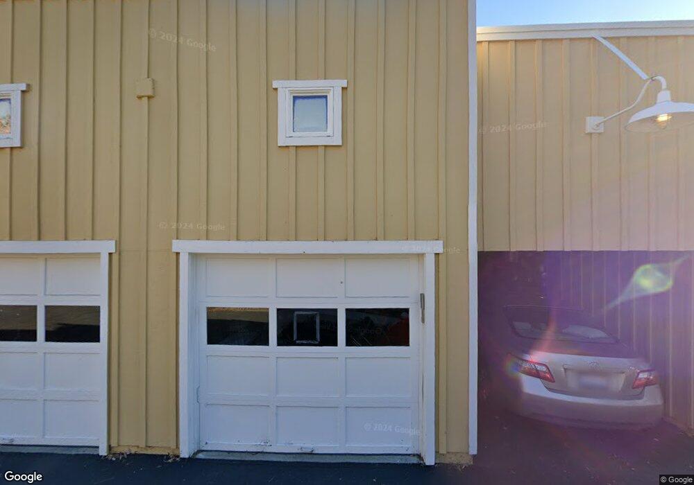
302 Redbud Way Unit 9 Nevada City, CA 95959
Estimated Value: $460,448 - $597,000
3
Beds
2
Baths
1,440
Sq Ft
$371/Sq Ft
Est. Value
About This Home
This home is located at 302 Redbud Way Unit 9, Nevada City, CA 95959 and is currently estimated at $534,862, approximately $371 per square foot. 302 Redbud Way Unit 9 is a home located in Nevada County with nearby schools including Deer Creek Elementary School, Seven Hills Intermediate School, and Forest Charter School.
Ownership History
Date
Name
Owned For
Owner Type
Purchase Details
Closed on
May 23, 2024
Sold by
Harmon Douglas R and Harmon Catherine B
Bought by
Douglas And Catherine Harmon 2024 Living Trus and Harmon
Current Estimated Value
Purchase Details
Closed on
Dec 9, 2005
Sold by
Broad Street Developments Llc
Bought by
Harmon Douglas R and Harmon Catherine B
Home Financials for this Owner
Home Financials are based on the most recent Mortgage that was taken out on this home.
Original Mortgage
$309,400
Interest Rate
6.35%
Mortgage Type
Fannie Mae Freddie Mac
Create a Home Valuation Report for This Property
The Home Valuation Report is an in-depth analysis detailing your home's value as well as a comparison with similar homes in the area
Home Values in the Area
Average Home Value in this Area
Purchase History
| Date | Buyer | Sale Price | Title Company |
|---|---|---|---|
| Douglas And Catherine Harmon 2024 Living Trus | -- | None Listed On Document | |
| Harmon Douglas R | $387,000 | California Land Title Co |
Source: Public Records
Mortgage History
| Date | Status | Borrower | Loan Amount |
|---|---|---|---|
| Previous Owner | Harmon Douglas R | $309,400 |
Source: Public Records
Tax History Compared to Growth
Tax History
| Year | Tax Paid | Tax Assessment Tax Assessment Total Assessment is a certain percentage of the fair market value that is determined by local assessors to be the total taxable value of land and additions on the property. | Land | Improvement |
|---|---|---|---|---|
| 2025 | $5,453 | $528,521 | $232,311 | $296,210 |
| 2024 | $5,353 | $518,158 | $227,756 | $290,402 |
| 2023 | $5,353 | $507,999 | $223,291 | $284,708 |
| 2022 | $5,245 | $498,039 | $218,913 | $279,126 |
| 2021 | $5,109 | $488,274 | $214,621 | $273,653 |
| 2020 | $5,102 | $483,269 | $212,421 | $270,848 |
| 2019 | $4,999 | $473,794 | $208,256 | $265,538 |
| 2018 | $0 | $464,505 | $204,173 | $260,332 |
| 2017 | $4,810 | $455,398 | $200,170 | $255,228 |
| 2016 | $4,463 | $430,000 | $188,000 | $242,000 |
| 2015 | $4,251 | $409,000 | $179,000 | $230,000 |
| 2014 | $4,146 | $397,000 | $174,000 | $223,000 |
Source: Public Records
Map
Nearby Homes
- 140 Redbud Way
- 660 Chief Kelly Dr
- 520 Lost Hill Ct
- 708 W Broad St
- 661 Chief Kelly Dr
- 651 Chief Kelly Dr
- 631 Chief Kelly Dr
- 327 Drummond St
- 500 Factory St
- 214 Mill St
- 210 Mill St
- 421 Broad St
- 16970 Old Downieville Hwy
- 447 Zion St
- 439 Washington St
- 134 Boulder St
- 342 Bridge Way
- 327 Bridge Way
- 336 Bridge Way
- 11356 Constitution Ct
- 304 Redbud Way Unit 8
- 303 Redbud Way Unit 4
- 306 Redbud Way
- 309 Redbud Way
- 307 Redbud Way
- 311 Redbud Way
- 403 Redbud Way
- 407 Redbud Way
- 405 Redbud Way Unit 20
- 12360 Redbud Way
- 401 Redbud Way Unit 22
- 120 Redbud Way
- 602 Redbud Way Unit 16
- 130 Redbud Way
- 601 Redbud Way Unit 10
- 406 Redbud Way Unit 24
- 406 Redbud Way
- 404 Redbud Way