302 S Morehead St Chenoa, IL 61726
Estimated Value: $101,658
Studio
--
Bath
4,600
Sq Ft
$22/Sq Ft
Est. Value
About This Home
This home is located at 302 S Morehead St, Chenoa, IL 61726 and is currently estimated at $101,658, approximately $22 per square foot. 302 S Morehead St is a home located in McLean County with nearby schools including Prairie Central High School.
Ownership History
Date
Name
Owned For
Owner Type
Purchase Details
Closed on
Mar 24, 2021
Sold by
Hobart Vincent J
Bought by
Mattingly Steven
Current Estimated Value
Home Financials for this Owner
Home Financials are based on the most recent Mortgage that was taken out on this home.
Original Mortgage
$59,500
Outstanding Balance
$9,794
Interest Rate
3%
Mortgage Type
Commercial
Estimated Equity
$91,864
Purchase Details
Closed on
May 24, 2018
Sold by
Fornero Zachery
Bought by
Hobart Vincent J
Home Financials for this Owner
Home Financials are based on the most recent Mortgage that was taken out on this home.
Original Mortgage
$55,000
Interest Rate
4.5%
Purchase Details
Closed on
Jul 20, 2017
Sold by
Bank Of Pontiac
Bought by
Fornero Zachery
Home Financials for this Owner
Home Financials are based on the most recent Mortgage that was taken out on this home.
Original Mortgage
$52,385
Interest Rate
3.91%
Create a Home Valuation Report for This Property
The Home Valuation Report is an in-depth analysis detailing your home's value as well as a comparison with similar homes in the area
Purchase History
| Date | Buyer | Sale Price | Title Company |
|---|---|---|---|
| Mattingly Steven | $70,000 | None Available | |
| Hobart Vincent J | $60,000 | Frontier Title Co | |
| Fornero Zachery | $52,000 | Frontier Title Co |
Source: Public Records
Mortgage History
| Date | Status | Borrower | Loan Amount |
|---|---|---|---|
| Open | Mattingly Steven | $59,500 | |
| Previous Owner | Hobart Vincent J | $55,000 | |
| Previous Owner | Fornero Zachery | $52,385 |
Source: Public Records
Tax History
| Year | Tax Paid | Tax Assessment Tax Assessment Total Assessment is a certain percentage of the fair market value that is determined by local assessors to be the total taxable value of land and additions on the property. | Land | Improvement |
|---|---|---|---|---|
| 2024 | $2,181 | $27,867 | $6,480 | $21,387 |
| 2022 | $2,181 | $22,619 | $5,575 | $17,044 |
| 2021 | $2,098 | $22,102 | $5,448 | $16,654 |
| 2020 | $2,010 | $20,551 | $5,066 | $15,485 |
| 2019 | $2,064 | $20,551 | $5,066 | $15,485 |
| 2018 | $2,192 | $20,349 | $5,016 | $15,333 |
| 2017 | $1,961 | $20,349 | $5,016 | $15,333 |
| 2016 | $3,215 | $35,202 | $5,016 | $30,186 |
| 2015 | $3,149 | $36,120 | $5,147 | $30,973 |
| 2014 | $3,135 | $36,120 | $5,147 | $30,973 |
| 2013 | -- | $36,514 | $5,203 | $31,311 |
Source: Public Records
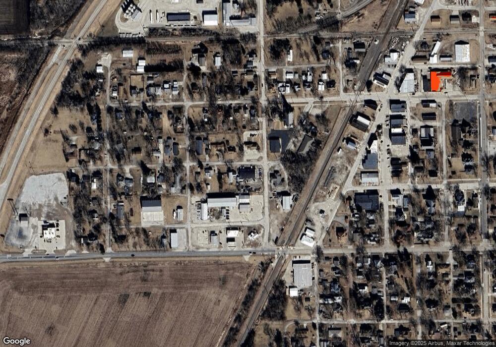
Map
Nearby Homes
- Lot 7 Block 11 S Morehead St
- 429 W Owsley St
- 117 Clark St
- 310 N 1st Ave
- 301 N 2nd Ave
- 106 Champion Dr
- 605 Morningside Dr
- 1017 Florence Ave
- 602 N 4th Ave
- 10788 N 1000 East Rd
- 9898 E 1200 North Rd
- 31439 2nd St
- 33574 Oak St
- 208 E 8th St
- 108 E Gridley Rd
- 10735 E 1700 Rd N
- 25179 N 2175 East Rd
- 21671 Clarksville Rd
- 8735 N 2000 East Rd
- 1702 S Plum St
- 315 Crittenden St
- 316 Crittenden St
- 305 S Morehead St
- 318 Franklin St
- 325 Crittenden St
- 322 S Morehead St
- 322 S Morehead St
- 329 Crittenden St
- 401 S Gerrard St
- 401 S Gerrard St Unit B
- 307 W Owsley St
- 301 W Owsley St
- 301 W Owsley St
- 317 W Owsley St
- 305 W Owsley St
- 300 W Cemetery Ave
- 321 W Owsley St
- 215 Ash St Unit B
- 215 Ash St
- 215 Ash St
Your Personal Tour Guide
Ask me questions while you tour the home.