302 Single Pine Rd Lewistown, MT 59457
Estimated Value: $544,441 - $621,000
4
Beds
2
Baths
1,120
Sq Ft
$520/Sq Ft
Est. Value
About This Home
This home is located at 302 Single Pine Rd, Lewistown, MT 59457 and is currently estimated at $582,721, approximately $520 per square foot. 302 Single Pine Rd is a home located in Fergus County with nearby schools including Fergus High School.
Ownership History
Date
Name
Owned For
Owner Type
Purchase Details
Closed on
Oct 15, 2018
Sold by
Dagenhart David P and Dagenhart Patricia G
Bought by
Maupin Randy
Current Estimated Value
Home Financials for this Owner
Home Financials are based on the most recent Mortgage that was taken out on this home.
Original Mortgage
$149,526
Outstanding Balance
$129,857
Interest Rate
4.5%
Mortgage Type
New Conventional
Estimated Equity
$452,864
Create a Home Valuation Report for This Property
The Home Valuation Report is an in-depth analysis detailing your home's value as well as a comparison with similar homes in the area
Purchase History
| Date | Buyer | Sale Price | Title Company |
|---|---|---|---|
| Maupin Randy | $186,907 | First American Title |
Source: Public Records
Mortgage History
| Date | Status | Borrower | Loan Amount |
|---|---|---|---|
| Open | Maupin Randy | $149,526 |
Source: Public Records
Tax History
| Year | Tax Paid | Tax Assessment Tax Assessment Total Assessment is a certain percentage of the fair market value that is determined by local assessors to be the total taxable value of land and additions on the property. | Land | Improvement |
|---|---|---|---|---|
| 2025 | $2,392 | $441,484 | $0 | $0 |
| 2024 | $3,222 | $374,715 | $0 | $0 |
| 2023 | $3,262 | $374,715 | $0 | $0 |
| 2022 | $2,857 | $269,599 | $0 | $0 |
| 2021 | $2,480 | $269,599 | $0 | $0 |
| 2020 | $2,602 | $279,505 | $0 | $0 |
| 2019 | $2,589 | $279,505 | $0 | $0 |
| 2018 | $2,503 | $266,338 | $0 | $0 |
| 2017 | $2,393 | $266,338 | $0 | $0 |
| 2016 | $1,808 | $195,728 | $0 | $0 |
| 2015 | $1,728 | $195,728 | $0 | $0 |
| 2014 | $1,789 | $112,334 | $0 | $0 |
Source: Public Records
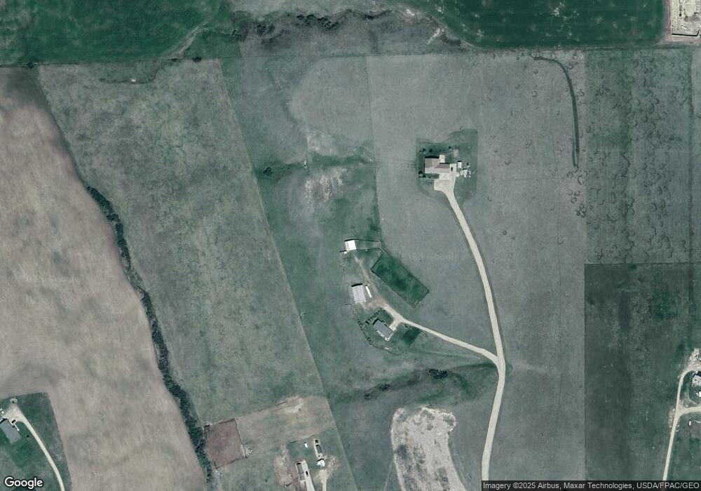
Map
Nearby Homes
- 6058 Cottonwood Creek Rd
- 2182 Castle Butte Rd
- 35 Pheasant Dr
- 401 Castle Ridge Dr
- 1613 Timberline Rd
- TBD Lot 2 Casino Creek Dr
- TBD Lot 1 Casino Creek Dr
- 297 Paper Trail
- 0 Castle Butte Rd
- NHN Us Hwy 87
- 491 Roundhouse Rd
- 83 Willow Ln
- 110 Turquoise Dr
- 211 Cedar St
- 217 Park Ave
- Nhn Hwy 191
- 113 15th Ave S
- 115 Park Ave
- 112 Uranium Dr
- 103 14th Ave S
Your Personal Tour Guide
Ask me questions while you tour the home.