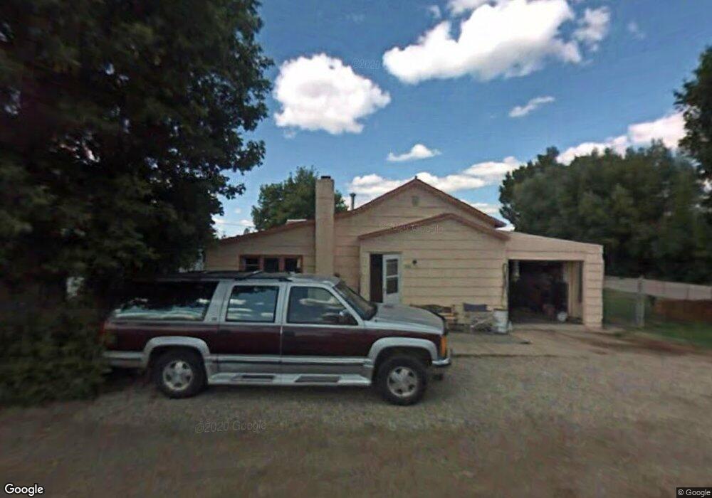
302 W Pine St Lewistown, MT 59457
Estimated Value: $87,000 - $264,000
2
Beds
1
Bath
1,498
Sq Ft
$117/Sq Ft
Est. Value
About This Home
This home is located at 302 W Pine St, Lewistown, MT 59457 and is currently estimated at $175,500, approximately $117 per square foot. 302 W Pine St is a home located in Fergus County with nearby schools including Fergus High School.
Ownership History
Date
Name
Owned For
Owner Type
Purchase Details
Closed on
Sep 26, 2025
Sold by
Equels Lesley Margaret
Bought by
Hmh Endeavors Llc
Current Estimated Value
Purchase Details
Closed on
Dec 11, 2024
Sold by
Hoffman Micah D and Hoffman Heidi M
Bought by
Hmh Endeavors Llc
Purchase Details
Closed on
Jun 10, 2024
Sold by
Granot Paul J and Granot Jennifer B
Bought by
Hoffman Micah D and Hoffman Heidi M
Purchase Details
Closed on
Aug 17, 2023
Sold by
C & W Investments Inc
Bought by
Granot Paul J and Granot Jennifer B
Purchase Details
Closed on
Aug 10, 2023
Sold by
County Of Circuit Court
Bought by
C & W Investments Llc
Purchase Details
Closed on
Jan 16, 2019
Sold by
Alterna Funding Ii Llc
Bought by
Atcf Reo Holdings Llc
Create a Home Valuation Report for This Property
The Home Valuation Report is an in-depth analysis detailing your home's value as well as a comparison with similar homes in the area
Home Values in the Area
Average Home Value in this Area
Purchase History
| Date | Buyer | Sale Price | Title Company |
|---|---|---|---|
| Hmh Endeavors Llc | -- | Flying S Title And Escrow | |
| Hmh Endeavors Llc | -- | None Listed On Document | |
| Hmh Endeavors Llc | -- | None Listed On Document | |
| Hoffman Micah D | -- | Flying S Title And Escrow | |
| Granot Paul J | -- | None Listed On Document | |
| C & W Investments Llc | $2,319 | None Listed On Document | |
| Atcf Reo Holdings Llc | -- | Attorney Only |
Source: Public Records
Tax History Compared to Growth
Tax History
| Year | Tax Paid | Tax Assessment Tax Assessment Total Assessment is a certain percentage of the fair market value that is determined by local assessors to be the total taxable value of land and additions on the property. | Land | Improvement |
|---|---|---|---|---|
| 2025 | $566 | $47,318 | $0 | $0 |
| 2024 | $765 | $51,320 | $0 | $0 |
| 2023 | $2,252 | $135,640 | $0 | $0 |
| 2022 | $1,774 | $79,900 | $0 | $0 |
| 2021 | $923 | $79,900 | $0 | $0 |
| 2020 | $1,626 | $73,100 | $0 | $0 |
| 2019 | $1,627 | $73,100 | $0 | $0 |
| 2018 | $1,612 | $73,200 | $0 | $0 |
| 2017 | $826 | $73,200 | $0 | $0 |
| 2016 | $978 | $67,400 | $0 | $0 |
| 2015 | $750 | $67,400 | $0 | $0 |
| 2014 | $700 | $35,298 | $0 | $0 |
Source: Public Records
Map
Nearby Homes
- 506 Brassey St
- 401 7th Ave S
- 115 7th Ave N
- 1201 3rd Ave S
- 1203 3rd Ave S
- 624 W Broadway St
- 307 E Janeaux St
- 210 S High St
- 514 2nd Ave N
- 318 W Evelyn St
- 1011 W Broadway St
- 316 W Corcoran St
- 1109 W Water St
- 112 Uranium Dr
- 313 W Idaho St
- 1220 W Main St
- 105 Hillcrest Dr
- 701 E Montana St
- 412 W Huron St
- 113 15th Ave S