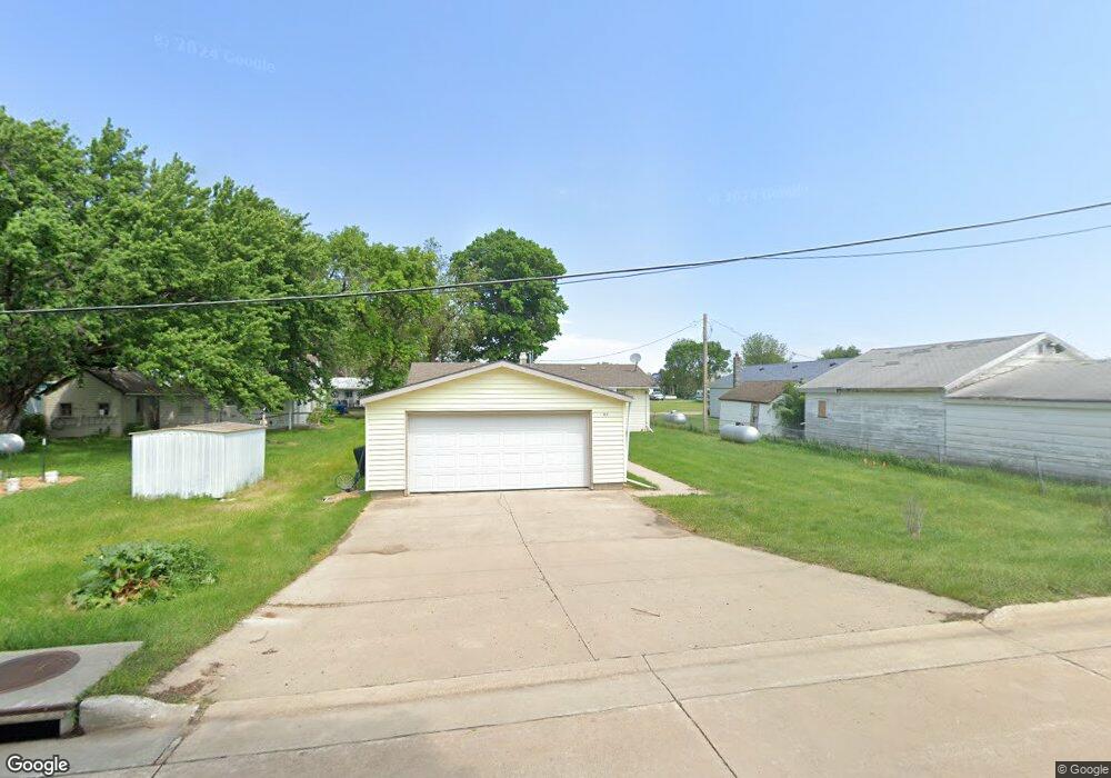
302 W Randolph St Anthon, IA 51004
Estimated Value: $84,000 - $135,011
3
Beds
1
Bath
1,344
Sq Ft
$84/Sq Ft
Est. Value
About This Home
This home is located at 302 W Randolph St, Anthon, IA 51004 and is currently estimated at $113,503, approximately $84 per square foot. 302 W Randolph St is a home located in Woodbury County with nearby schools including Anthon Elementary School, Mvao Middle School, and Maple Valley-Anthon Oto High School.
Ownership History
Date
Name
Owned For
Owner Type
Purchase Details
Closed on
Aug 5, 2021
Sold by
Petersen Thomas H
Bought by
Mccormick Cody A and Stuhrenberg Sabrina B
Current Estimated Value
Purchase Details
Closed on
Jun 25, 2018
Sold by
Petersen Bonnie J
Bought by
Petersen 3Rd Thomas H
Purchase Details
Closed on
May 18, 2015
Sold by
Milligan Margaret E
Bought by
Petersen Thomas H and Petersen Bonnie J
Create a Home Valuation Report for This Property
The Home Valuation Report is an in-depth analysis detailing your home's value as well as a comparison with similar homes in the area
Home Values in the Area
Average Home Value in this Area
Purchase History
| Date | Buyer | Sale Price | Title Company |
|---|---|---|---|
| Mccormick Cody A | -- | None Available | |
| Petersen 3Rd Thomas H | -- | -- | |
| Petersen 3Rd Thomas H | -- | -- | |
| Peterson Thomas H | -- | -- | |
| Petersen Thomas H | $55,000 | None Available |
Source: Public Records
Tax History Compared to Growth
Tax History
| Year | Tax Paid | Tax Assessment Tax Assessment Total Assessment is a certain percentage of the fair market value that is determined by local assessors to be the total taxable value of land and additions on the property. | Land | Improvement |
|---|---|---|---|---|
| 2025 | $1,014 | $99,180 | $5,360 | $93,820 |
| 2024 | $1,014 | $82,630 | $5,360 | $77,270 |
| 2023 | $928 | $82,630 | $5,360 | $77,270 |
| 2022 | $1,052 | $63,660 | $5,360 | $58,300 |
| 2021 | $1,052 | $63,660 | $5,360 | $58,300 |
| 2020 | $1,166 | $67,370 | $5,740 | $61,630 |
| 2019 | $1,210 | $67,370 | $5,740 | $61,630 |
| 2018 | $1,196 | $67,370 | $5,740 | $61,630 |
| 2017 | $1,214 | $67,370 | $5,740 | $61,630 |
| 2016 | $1,184 | $67,370 | $0 | $0 |
| 2015 | $1,046 | $62,960 | $5,360 | $57,600 |
| 2014 | $1,033 | $58,840 | $5,360 | $53,480 |
Source: Public Records
Map
Nearby Homes
- 304 W Randolph St
- 208 W Randolph St
- 306 E Randolph St
- 301 W Randolph St
- 307 W Randolph St
- 305 W Randolph St
- 101 Westgate Rd
- 103 Westgate Rd
- 109 Highway 31
- 109 Highway 31
- 301 S Fox Ave
- 400 W Main St
- 100 Westgate Rd
- 307 Highway 31
- 300 W Main St
- 208 W Main St
- 306 W Main St
- 206 W Main St
- 207 S Miller Ave
- 207 S Miller Ave