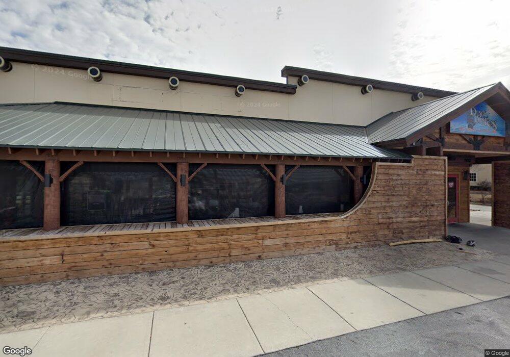
302 Western Blvd Unit A Jacksonville, NC 28546
Estimated Value: $2,791,398
--
Bed
--
Bath
37,897
Sq Ft
$74/Sq Ft
Est. Value
About This Home
This home is located at 302 Western Blvd Unit A, Jacksonville, NC 28546 and is currently estimated at $2,791,398, approximately $73 per square foot. 302 Western Blvd Unit A is a home located in Onslow County with nearby schools including Bell Fork Elementary School, Jacksonville Commons Middle School, and Jacksonville High School.
Ownership History
Date
Name
Owned For
Owner Type
Purchase Details
Closed on
Apr 24, 2025
Sold by
Morgan Mary B
Bought by
Mbm3 Llc
Current Estimated Value
Purchase Details
Closed on
Jul 17, 2017
Sold by
Eastern Pride Inc
Bought by
Pt Greenland Llc
Home Financials for this Owner
Home Financials are based on the most recent Mortgage that was taken out on this home.
Original Mortgage
$630,000
Interest Rate
3.89%
Mortgage Type
Commercial
Purchase Details
Closed on
Jun 10, 1991
Bought by
Morgan Mary B
Create a Home Valuation Report for This Property
The Home Valuation Report is an in-depth analysis detailing your home's value as well as a comparison with similar homes in the area
Home Values in the Area
Average Home Value in this Area
Purchase History
| Date | Buyer | Sale Price | Title Company |
|---|---|---|---|
| Mbm3 Llc | -- | None Listed On Document | |
| Mbm3 Llc | -- | None Listed On Document | |
| Pt Greenland Llc | $1,430,000 | None Available | |
| Morgan Mary B | -- | -- |
Source: Public Records
Mortgage History
| Date | Status | Borrower | Loan Amount |
|---|---|---|---|
| Previous Owner | Pt Greenland Llc | $630,000 |
Source: Public Records
Tax History Compared to Growth
Tax History
| Year | Tax Paid | Tax Assessment Tax Assessment Total Assessment is a certain percentage of the fair market value that is determined by local assessors to be the total taxable value of land and additions on the property. | Land | Improvement |
|---|---|---|---|---|
| 2025 | $13,423 | $1,069,600 | $1,045,440 | $24,160 |
| 2024 | $13,423 | $1,069,600 | $1,045,440 | $24,160 |
| 2023 | $13,423 | $1,069,600 | $1,045,440 | $24,160 |
| 2022 | $13,423 | $1,069,600 | $1,045,440 | $24,160 |
| 2021 | $28,797 | $2,137,897 | $1,045,440 | $1,092,457 |
| 2020 | $28,797 | $2,137,897 | $1,045,440 | $1,092,457 |
| 2019 | $28,797 | $2,137,897 | $1,045,440 | $1,092,457 |
| 2018 | $28,797 | $2,137,897 | $1,045,440 | $1,092,457 |
| 2017 | $22,945 | $1,742,220 | $975,740 | $766,480 |
| 2016 | $22,945 | $1,742,220 | $0 | $0 |
| 2015 | $22,945 | $1,742,220 | $0 | $0 |
| 2014 | $22,945 | $1,742,220 | $0 | $0 |
Source: Public Records
Map
Nearby Homes
- 106 Ronny Ct
- 105 Kenan Loop
- 600 Oakwood Ave
- 402 Huff Dr
- 2104 Colony Plaza
- 405 Hampshire Place
- 120 Winthrope Way
- 404 Hampshire Place
- 405 Thomas Dr
- 512 E Springhill Terrace
- 514 E Springhill Terrace
- 108 Kingsmill Ct
- 125 Linda Loop
- 2002 Colony Plaza
- 103 Huff Ct
- 504 Greenbriar Dr
- 120 King George Ct
- 110 King George Ct
- 349 C Bell Fork
- 102 W Cameron Ct
- 300 Western Blvd Unit 400
- 300 Western Blvd
- 910 Winchester Rd
- 215 Valencia Dr
- 215 Valencia Dr
- 908 Winchester Rd
- 906 Winchester Rd
- 301c Western Blvd
- 904 Winchester Rd
- 907 Winchester Rd
- 902 Winchester Rd
- 905 Winchester Rd
- 900 Winchester Rd
- 903 Winchester Rd
- 161 Huff Dr
- 823 Oakwood Ave
- 821 Oakwood Ave
- 804 Winchester Rd
- 807 Winchester Rd
- 819 Oakwood Ave