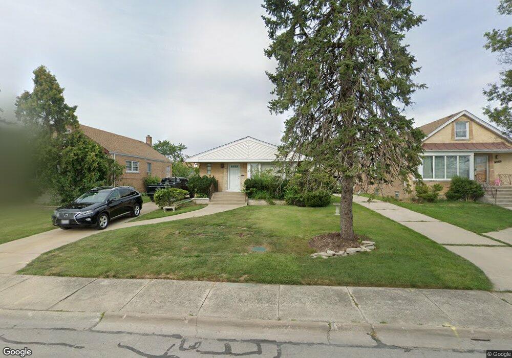
3020 Sunnydale Ave Broadview, IL 60155
Estimated Value: $288,000 - $338,000
3
Beds
1
Bath
1,207
Sq Ft
$260/Sq Ft
Est. Value
About This Home
This home is located at 3020 Sunnydale Ave, Broadview, IL 60155 and is currently estimated at $313,536, approximately $259 per square foot. 3020 Sunnydale Ave is a home located in Cook County with nearby schools including Komarek Elementary School, Riverside Brookfield High School, and Westchester Christian School.
Ownership History
Date
Name
Owned For
Owner Type
Purchase Details
Closed on
Mar 3, 2000
Sold by
Hildreth Roger J and Hildreth Margaret L
Bought by
Brooks Andrea M
Current Estimated Value
Home Financials for this Owner
Home Financials are based on the most recent Mortgage that was taken out on this home.
Original Mortgage
$153,900
Interest Rate
8.21%
Mortgage Type
FHA
Create a Home Valuation Report for This Property
The Home Valuation Report is an in-depth analysis detailing your home's value as well as a comparison with similar homes in the area
Home Values in the Area
Average Home Value in this Area
Purchase History
| Date | Buyer | Sale Price | Title Company |
|---|---|---|---|
| Brooks Andrea M | $155,000 | -- |
Source: Public Records
Mortgage History
| Date | Status | Borrower | Loan Amount |
|---|---|---|---|
| Previous Owner | Brooks Andrea M | $153,900 |
Source: Public Records
Tax History Compared to Growth
Tax History
| Year | Tax Paid | Tax Assessment Tax Assessment Total Assessment is a certain percentage of the fair market value that is determined by local assessors to be the total taxable value of land and additions on the property. | Land | Improvement |
|---|---|---|---|---|
| 2024 | $6,481 | $24,000 | $4,410 | $19,590 |
| 2023 | $5,270 | $24,000 | $4,410 | $19,590 |
| 2022 | $5,270 | $17,170 | $3,780 | $13,390 |
| 2021 | $5,087 | $17,170 | $3,780 | $13,390 |
| 2020 | $5,064 | $17,170 | $3,780 | $13,390 |
| 2019 | $4,989 | $17,636 | $3,465 | $14,171 |
| 2018 | $4,829 | $17,636 | $3,465 | $14,171 |
| 2017 | $4,800 | $17,636 | $3,465 | $14,171 |
| 2016 | $4,351 | $14,661 | $3,150 | $11,511 |
| 2015 | $4,236 | $14,661 | $3,150 | $11,511 |
| 2014 | $4,186 | $14,661 | $3,150 | $11,511 |
| 2013 | $4,890 | $17,723 | $3,150 | $14,573 |
Source: Public Records
Map
Nearby Homes
- 2330 S 17th Ave
- 1900 Manchester Ave
- 2263 S 14th Ave
- 1542 Homestead Rd
- 1907 Suffolk Ave
- 1601 Bristol Ave
- 1623 Manchester Ave
- 2510 S 17th Ave
- 1932 Newcastle Ave
- 2310 S 11th Ave
- 1500 Bristol Ave
- 2128 Hull Ave
- 1433 Bristol Ave
- 1204 Blanchan Ave
- 2512 S 14th Ave
- 2320 S 22nd Ave
- 1110 W 18th St Unit 1E
- 2347 S 17th Ave
- 2432 S 13th Ave
- 2237 S 22nd Ave
- 3024 Sunnydale Ave
- 3016 Sunnydale Ave
- 3012 Sunnydale Ave
- 3028 Sunnydale Ave
- 3021 S 24th Ave
- 3017 S 24th Ave
- 3025 S 24th Ave
- 3032 Sunnydale Ave
- 2257 Summerdale Dr
- 3029 S 24th Ave
- 2252 Summerdale Dr
- 3036 Sunnydale Ave
- 2253 Summerdale Dr
- 3033 S 24th Ave
- 2248 Summerdale Dr
- 3037 S 24th Ave
- 2249 Summerdale Dr
- 3040 Sunnydale Ave
- 3020 S 24th Ave Unit 2