30239 Highway 19 Blvd Red Wing, MN 55066
Estimated Value: $455,000 - $517,000
4
Beds
1
Bath
1,845
Sq Ft
$257/Sq Ft
Est. Value
About This Home
This home is located at 30239 Highway 19 Blvd, Red Wing, MN 55066 and is currently estimated at $474,689, approximately $257 per square foot. 30239 Highway 19 Blvd is a home located in Goodhue County with nearby schools including Burnside Elementary School, Sunnyside Elementary School, and Twin Bluff Middle School.
Ownership History
Date
Name
Owned For
Owner Type
Purchase Details
Closed on
Aug 12, 2016
Sold by
Johnson Dennis and Johnson Linda
Bought by
Keller Zachary A and Keller Amanda R
Current Estimated Value
Purchase Details
Closed on
Oct 24, 2013
Sold by
Seidl Allen Allen
Bought by
Johnson Dennis Dennis
Home Financials for this Owner
Home Financials are based on the most recent Mortgage that was taken out on this home.
Original Mortgage
$227,500
Interest Rate
4.13%
Purchase Details
Closed on
Sep 23, 2003
Sold by
Donald H Swanson Revocable Trust
Bought by
Seidl Allen W
Create a Home Valuation Report for This Property
The Home Valuation Report is an in-depth analysis detailing your home's value as well as a comparison with similar homes in the area
Home Values in the Area
Average Home Value in this Area
Purchase History
| Date | Buyer | Sale Price | Title Company |
|---|---|---|---|
| Keller Zachary A | $270,000 | Dca Title | |
| Johnson Dennis Dennis | $227,500 | -- | |
| Seidl Allen W | $259,000 | -- |
Source: Public Records
Mortgage History
| Date | Status | Borrower | Loan Amount |
|---|---|---|---|
| Previous Owner | Johnson Dennis Dennis | $227,500 |
Source: Public Records
Tax History Compared to Growth
Tax History
| Year | Tax Paid | Tax Assessment Tax Assessment Total Assessment is a certain percentage of the fair market value that is determined by local assessors to be the total taxable value of land and additions on the property. | Land | Improvement |
|---|---|---|---|---|
| 2025 | $3,096 | $401,800 | $163,700 | $238,100 |
| 2024 | $3,096 | $397,700 | $162,700 | $235,000 |
| 2023 | $1,400 | $333,200 | $149,700 | $183,500 |
| 2022 | $2,776 | $297,300 | $134,900 | $162,400 |
| 2021 | $2,512 | $293,600 | $131,300 | $162,300 |
| 2020 | $2,430 | $265,700 | $132,100 | $133,600 |
| 2019 | $2,382 | $243,100 | $132,000 | $111,100 |
| 2018 | $1,944 | $228,100 | $133,200 | $94,900 |
| 2017 | $1,864 | $216,300 | $121,400 | $94,900 |
| 2016 | $1,618 | $210,100 | $121,400 | $88,700 |
| 2015 | $1,980 | $200,400 | $122,000 | $78,400 |
| 2014 | -- | $236,000 | $137,600 | $98,400 |
Source: Public Records
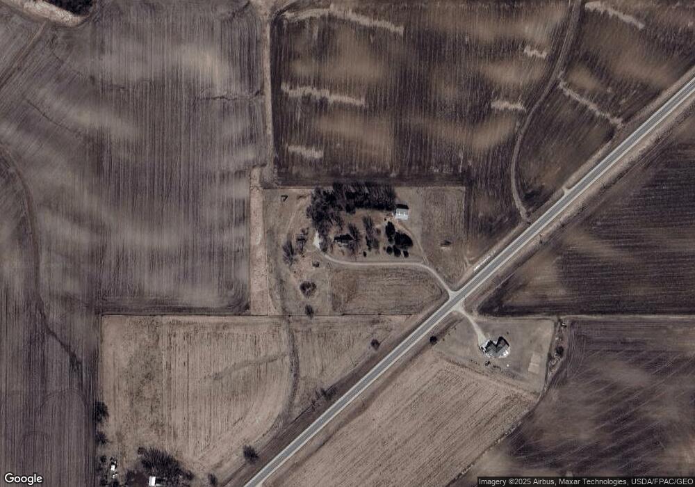
Map
Nearby Homes
- 111 Route 19
- 28668 Mn-19
- 31819 County 7 Blvd
- 31283 210th Ave
- TBD Mill Rd
- 30245 130th Ave
- 4958 Chalet Ct
- 4990 Chalet Ct
- 4994 Chalet Ct
- 4986 Chalet Ct
- 4976 Chalet Ct
- 914 Snowbird Dr
- 910 Snowbird Dr
- 921 Snowbird Dr
- 1056 Birch Ave
- 906 Snowbird Dr
- 4786 Mount Hood Ln
- 4739 Big Sky Ct
- 912 Aurora Cir
- 808 Aurora Cir
- 30239 Highway 19 Blvd
- 30240 Highway 19 Blvd
- 30405 Highway 19 Blvd
- 30505 Highway 19 Blvd
- 30505 Highway 19 Blvd
- 29950 Highway 19 Blvd
- 30615 Highway 19 Blvd
- 30615 Highway 19 Blvd
- 17430 293rd St
- 29848 Smaland Rd
- 29901 Smaland Rd
- 17335 293rd St
- 17600 293rd St
- 29845 Smaland Rd
- 29699 Smaland Rd
- 29440 Highway 19 Blvd
- 30800 County 51 Blvd
- 18119 310th St
- 29312 Highway 19 Blvd