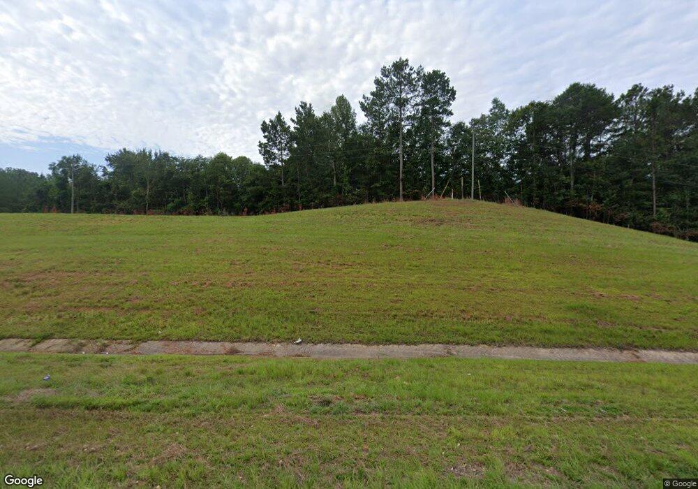
3024 Highway 84 E Brookhaven, MS 39601
Estimated Value: $375,000 - $848,622
5
Beds
2
Baths
5,620
Sq Ft
$109/Sq Ft
Est. Value
About This Home
This home is located at 3024 Highway 84 E, Brookhaven, MS 39601 and is currently estimated at $611,811, approximately $108 per square foot. 3024 Highway 84 E is a home with nearby schools including Brookhaven High School.
Ownership History
Date
Name
Owned For
Owner Type
Purchase Details
Closed on
Jul 28, 2021
Sold by
Weeks James Clay and Weeks Connie
Bought by
King Stan
Current Estimated Value
Purchase Details
Closed on
Nov 19, 2020
Sold by
Chaney Stewart L and Chaney Necie M
Bought by
Stan King Properties Llc
Purchase Details
Closed on
Jul 20, 2020
Sold by
Adams Herschel and Adams Jo Ann
Bought by
King William and King Jaci Lee
Purchase Details
Closed on
May 20, 2020
Sold by
Adams Herschel and Adams Jo Ann
Bought by
King William and King Jaycee Lee
Purchase Details
Closed on
May 19, 2020
Sold by
Smith Stephen Joel
Bought by
Stan King Properties Llc
Purchase Details
Closed on
Jun 1, 2017
Sold by
Dixon Bette C and Dixon Charles W
Bought by
King Royce Stanton and King Cindy
Create a Home Valuation Report for This Property
The Home Valuation Report is an in-depth analysis detailing your home's value as well as a comparison with similar homes in the area
Purchase History
| Date | Buyer | Sale Price | Title Company |
|---|---|---|---|
| King Stan | -- | None Available | |
| Stan King Properties Llc | -- | None Available | |
| King William | -- | None Available | |
| King William | -- | None Available | |
| Stan King Properties Llc | -- | None Available | |
| King Royce Stanton | -- | -- |
Source: Public Records
Tax History Compared to Growth
Tax History
| Year | Tax Paid | Tax Assessment Tax Assessment Total Assessment is a certain percentage of the fair market value that is determined by local assessors to be the total taxable value of land and additions on the property. | Land | Improvement |
|---|---|---|---|---|
| 2024 | $7,827 | $62,773 | $0 | $0 |
| 2023 | $6,323 | $63,073 | $0 | $0 |
| 2022 | $6,429 | $62,967 | $0 | $0 |
| 2021 | $6,896 | $63,073 | $0 | $0 |
| 2020 | $6,712 | $58,462 | $0 | $0 |
| 2019 | $6,748 | $58,588 | $0 | $0 |
| 2018 | $6,776 | $58,995 | $0 | $0 |
| 2016 | $5,754 | $57,049 | $0 | $0 |
| 2015 | -- | $56,782 | $0 | $0 |
| 2014 | -- | $56,548 | $0 | $0 |
Source: Public Records
Map
Nearby Homes
- 0 Gill Dr SE
- 741 Hughs Hill Ln SE
- 2116 Highway 84 E
- 2175 Warren Rd SE
- 0 Hopewell Rd NE
- 2423A E Lincoln Rd SE
- 0 Greenhill Trail NE
- Hopewell Rd NE
- Hopewell Rd NE
- 1535 Holly Trail SE
- Hopewell Rd NE
- 650 Mallalieu Dr SE
- Lot #12 Hutcherson Ln SE
- Lot #15 Hutcherson Ln SE
- Lot #8 Hutcherson Ln SE
- Lot #16 Hutcherson Ln SE
- Lot #11 Hutcherson Ln SE
- Lot #17 Hutcherson Ln SE
- Lot #3 Hutcherson Ln SE
- Lot #13 Hutcherson Ln SE
- 3056 Highway 84 E
- 40 Dade Ln SE
- 78 Dade Ln SE
- 45 Dade Ln SE
- 51 Dade Ln SE
- 2845 Harmony Dr SE
- 2860 Harmony Dr SE
- 2809 Harmony Dr SE
- 2830 Harmony Dr SE
- 2739 Harmony Dr SE
- 3038 Harmony Dr SE
- 2859 Warren Rd SE
- 330 Branch Ln NE
- 344 Branch Ln NE
- 2864 Warren Rd SE
- 335 Branch Ln NE
- 341 Branch Ln NE
- 392 Big Springs Dr NE
- 2808 Warren Rd SE
- 2759 Highway 84 E
