3025 Lum Cumbest Rd Moss Point, MS 39562
Estimated Value: $182,949 - $243,000
--
Bed
1
Bath
1,764
Sq Ft
$119/Sq Ft
Est. Value
About This Home
This home is located at 3025 Lum Cumbest Rd, Moss Point, MS 39562 and is currently estimated at $209,487, approximately $118 per square foot. 3025 Lum Cumbest Rd is a home located in Jackson County with nearby schools including East Central Lower Elementary School, East Central Upper Elementary School, and East Central Middle School.
Ownership History
Date
Name
Owned For
Owner Type
Purchase Details
Closed on
Sep 12, 2018
Sold by
Sanders Brandon P
Bought by
Sanders Ashley C
Current Estimated Value
Purchase Details
Closed on
Dec 9, 2016
Sold by
Cumbest Halsey N and Cumbest Stephanie R
Bought by
Sanders Ashely Cumbest and Sanders Brandon Pol
Purchase Details
Closed on
May 20, 2011
Sold by
Halsey N Halsey N and Cumbest Stephanie R
Bought by
Cumbest Halsey N and Cumbest Stephanie R
Create a Home Valuation Report for This Property
The Home Valuation Report is an in-depth analysis detailing your home's value as well as a comparison with similar homes in the area
Home Values in the Area
Average Home Value in this Area
Purchase History
| Date | Buyer | Sale Price | Title Company |
|---|---|---|---|
| Sanders Ashley C | -- | -- | |
| Sanders Ashely Cumbest | -- | None Available | |
| Cumbest Halsey N | -- | -- |
Source: Public Records
Tax History Compared to Growth
Tax History
| Year | Tax Paid | Tax Assessment Tax Assessment Total Assessment is a certain percentage of the fair market value that is determined by local assessors to be the total taxable value of land and additions on the property. | Land | Improvement |
|---|---|---|---|---|
| 2024 | $945 | $10,369 | $1,124 | $9,245 |
| 2023 | $945 | $10,369 | $1,124 | $9,245 |
| 2022 | $909 | $10,369 | $1,124 | $9,245 |
| 2021 | $916 | $10,433 | $1,124 | $9,309 |
| 2020 | $843 | $9,464 | $1,041 | $8,423 |
| 2019 | $831 | $9,464 | $1,041 | $8,423 |
| 2018 | $853 | $9,464 | $1,041 | $8,423 |
| 2017 | $872 | $9,464 | $1,041 | $8,423 |
| 2016 | $1,689 | $14,197 | $1,562 | $12,635 |
| 2015 | $742 | $87,090 | $10,410 | $76,680 |
| 2014 | $723 | $8,709 | $1,041 | $7,668 |
| 2013 | $689 | $8,709 | $1,041 | $7,668 |
Source: Public Records
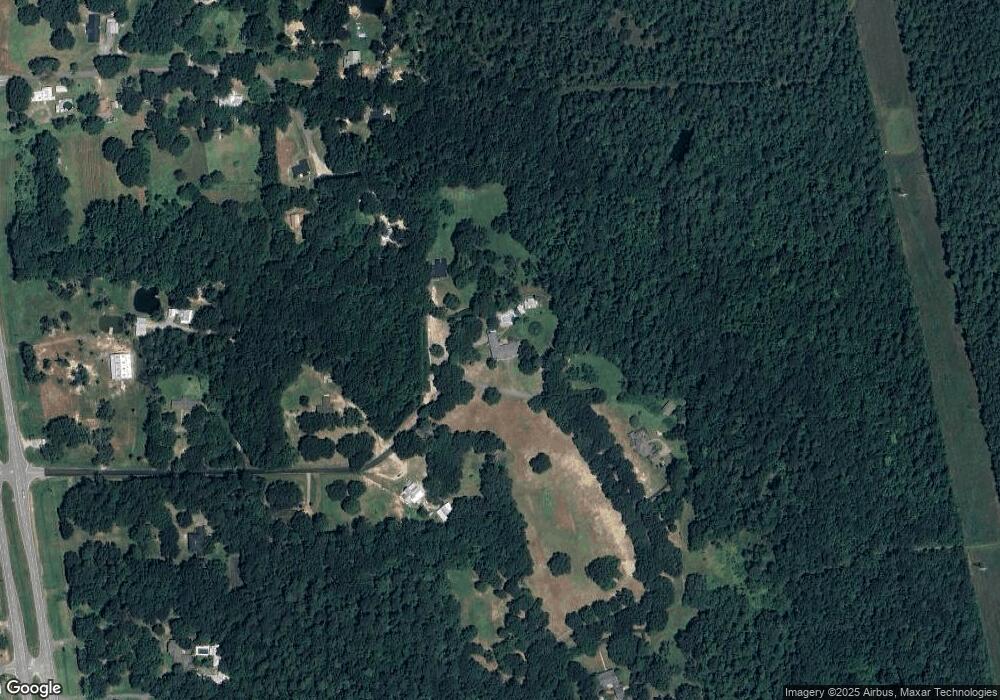
Map
Nearby Homes
- 17116 Pierce St
- 19029 Roger Davis Rd
- 3513 Jerry Davis Rd
- 0 Big Point Unit 4125782
- 2530 Hardy Parker Rd
- 3016 Ed Parker Rd
- 0 Grafe Homestead Rd Unit 4113097
- 21629 Mississippi 63
- 27 Acres Brinkman Rd E
- 0 R B Dickerson Rd
- 13875 Wolf Ridge Rd Unit LotWP001
- 13875 Wolf Ridge Rd
- 0 Dr Unit 4052148
- 7605 Methodist Church Rd
- 21217 E Trails End Rd
- 5402 Huckleberry Ln
- 7805 Songbird Ln
- 0 Ms-613 Hwy Unit 4116583
- 0 Ms-613 Hwy Unit 4107607
- 0 Ms-613 Hwy Unit 4107612
- 3025 Lum Cumbest Rd
- 2932 Lee Pierce Rd
- 2932 Lee Pierce Rd Unit DRO
- 2935 Lum Cumbest Rd
- 3101 Lum Cumbest Rd Unit DRO
- 3004 Lum Cumbest Rd
- 2930 Lum Cumbest Rd
- 2940 Lee Pierce Rd
- 2915 Lee Pierce Rd
- 2913 Lum Cumbest Rd
- 2916 Lee Pierce Rd
- 3041 Lum Cumbest Rd
- 2900 Lum Cumbest Rd
- 2901 Lee Pierce Rd
- 2813 Lum Cumbest Rd
- 3011 Neelia Cumbest Rd
- 17732 Highway 63
- 2811 Lee Pierce Rd
- 2812 Lee Pierce Rd
- 2800 Lee Pierce Rd