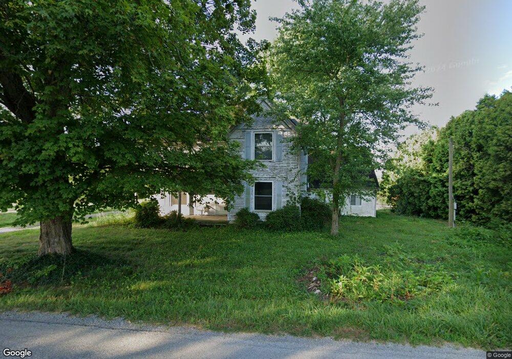
3025 Wheat Ridge Rd West Union, OH 45693
Estimated Value: $92,318 - $162,000
4
Beds
3
Baths
3,336
Sq Ft
$37/Sq Ft
Est. Value
About This Home
This home is located at 3025 Wheat Ridge Rd, West Union, OH 45693 and is currently estimated at $122,080, approximately $36 per square foot. 3025 Wheat Ridge Rd is a home located in Adams County with nearby schools including North Adams Elementary School and North Adams High School.
Ownership History
Date
Name
Owned For
Owner Type
Purchase Details
Closed on
Mar 29, 2024
Sold by
Cruca Terry R and Cruca Martie
Bought by
Emert Family Trust and Emert
Current Estimated Value
Purchase Details
Closed on
Mar 28, 2024
Sold by
Partin Thomas
Bought by
Cruea Terry R and Cruea Martie
Purchase Details
Closed on
Oct 8, 2015
Sold by
Deutsche Bank National Trust Co
Bought by
Partin Thomas
Create a Home Valuation Report for This Property
The Home Valuation Report is an in-depth analysis detailing your home's value as well as a comparison with similar homes in the area
Home Values in the Area
Average Home Value in this Area
Purchase History
| Date | Buyer | Sale Price | Title Company |
|---|---|---|---|
| Emert Family Trust | $75,000 | None Listed On Document | |
| Cruea Terry R | $50,000 | None Listed On Document | |
| Partin Thomas | $24,000 | None Available |
Source: Public Records
Tax History Compared to Growth
Tax History
| Year | Tax Paid | Tax Assessment Tax Assessment Total Assessment is a certain percentage of the fair market value that is determined by local assessors to be the total taxable value of land and additions on the property. | Land | Improvement |
|---|---|---|---|---|
| 2024 | $1,029 | $27,660 | $9,630 | $18,030 |
| 2023 | $524 | $27,660 | $9,630 | $18,030 |
| 2022 | $1,041 | $22,860 | $6,930 | $15,930 |
| 2021 | $935 | $22,860 | $6,930 | $15,930 |
| 2020 | $954 | $22,860 | $6,930 | $15,930 |
| 2019 | $909 | $22,860 | $6,930 | $15,930 |
| 2018 | $790 | $20,200 | $6,930 | $13,270 |
| 2017 | $768 | $20,200 | $6,930 | $13,270 |
| 2016 | $766 | $20,200 | $6,930 | $13,270 |
| 2015 | $1,007 | $27,410 | $6,020 | $21,390 |
| 2014 | $1,007 | $27,410 | $6,020 | $21,390 |
Source: Public Records
Map
Nearby Homes
- 210 Walt Alsgood Rd
- 4016 Unity Rd
- 3551 Unity Rd
- 4603 Wheat Ridge Rd
- 2157 Tater Ridge Rd
- 363 Crystal Rd
- 19004 State Route 41
- 831 Tom Brown Rd
- 0 Paradise Valley Rd Unit 1852764
- 668 Fawcett Rd
- 13529 Ohio 247
- 0 Lawshe Rd Unit 1854673
- 125 Robinette Rd
- 3460 Logans Ln
- 292 Larry Baynum Rd
- 1425 Jacksonville Rd
- LOT 4 Jacksonville Rd
- LOT 2 Jacksonville Rd
- 150 Roslin Dr
- 13465 State Route 41
- 3025 Wheat Ridge Rd
- 2981 Wheat Ridge Rd
- 2543 Wheat Ridge Rd
- 3088 Wheat Ridge Rd
- 2843 Wheat Ridge Rd
- 2775 Grange Hall Rd
- 59 Port Rd
- 2555 Grange Hall Rd
- 329 Port Rd
- 3645 Wheat Ridge Rd
- 3735 Wheat Ridge Rd
- 848 Tater Ridge Rd
- 422 Tater Ridge Rd
- 4ac Wheat Ridge Rd
- 35 Port Rd
- 566 Tater Ridge Rd
- 2249 Wheat Ridge Rd
- 817 Tater Ridge Rd
- 3590 Wheat Ridge Rd
- 3819 Wheat Ridge Rd