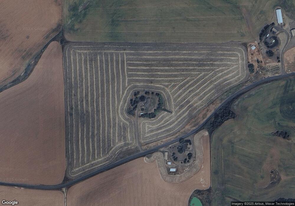
30255 Leland Rd Juliaetta, ID 83535
Estimated Value: $532,724 - $851,000
3
Beds
2
Baths
2,861
Sq Ft
$241/Sq Ft
Est. Value
About This Home
This home is located at 30255 Leland Rd, Juliaetta, ID 83535 and is currently estimated at $688,431, approximately $240 per square foot. 30255 Leland Rd is a home located in Nez Perce County with nearby schools including Juliaetta Elementary School and Kendrick Junior/Senior High School.
Ownership History
Date
Name
Owned For
Owner Type
Purchase Details
Closed on
Feb 13, 2022
Sold by
Karol Hoisington
Bought by
Solberg Victoria and Allpress Mysti
Current Estimated Value
Home Financials for this Owner
Home Financials are based on the most recent Mortgage that was taken out on this home.
Original Mortgage
$292,602
Outstanding Balance
$270,117
Interest Rate
3.69%
Mortgage Type
FHA
Estimated Equity
$418,314
Purchase Details
Closed on
Aug 25, 2008
Sold by
Hoisington Karol
Bought by
Hoisington Karol and Hoisington Karol M
Home Financials for this Owner
Home Financials are based on the most recent Mortgage that was taken out on this home.
Original Mortgage
$108,600
Interest Rate
6.27%
Mortgage Type
New Conventional
Create a Home Valuation Report for This Property
The Home Valuation Report is an in-depth analysis detailing your home's value as well as a comparison with similar homes in the area
Purchase History
| Date | Buyer | Sale Price | Title Company |
|---|---|---|---|
| Solberg Victoria | -- | Alliance Title | |
| Hoisington Karol | -- | -- |
Source: Public Records
Mortgage History
| Date | Status | Borrower | Loan Amount |
|---|---|---|---|
| Open | Solberg Victoria | $292,602 | |
| Previous Owner | Hoisington Karol | $108,600 |
Source: Public Records
Tax History Compared to Growth
Tax History
| Year | Tax Paid | Tax Assessment Tax Assessment Total Assessment is a certain percentage of the fair market value that is determined by local assessors to be the total taxable value of land and additions on the property. | Land | Improvement |
|---|---|---|---|---|
| 2025 | $2,649 | $486,020 | $48,060 | $437,960 |
| 2024 | $23 | $412,909 | $40,055 | $372,854 |
| 2023 | $2,258 | $397,347 | $34,830 | $362,517 |
| 2022 | $2,707 | $378,533 | $30,453 | $348,080 |
| 2021 | $3,235 | $263,487 | $26,588 | $236,899 |
| 2020 | $2,863 | $217,080 | $12,938 | $204,142 |
| 2019 | $1,489 | $187,441 | $12,938 | $174,503 |
| 2018 | $296 | $183,907 | $12,930 | $170,977 |
| 2017 | $1,417 | $0 | $0 | $0 |
| 2016 | $597 | $0 | $0 | $0 |
| 2015 | $560 | $0 | $0 | $0 |
| 2014 | $910 | $155,638 | $12,768 | $142,870 |
Source: Public Records
Map
Nearby Homes
- 13790 Cross Farm Rd
- 1647 State Highway 3
- 1701 State Highway 3
- 701 Wheeler St
- 164 State St
- 16078 Hoffman Rd
- 812 Main St
- 17550 Stoney Point
- 31404 Paradise Ln
- 31388 Paradise Ln
- 33818 North Rd
- 31803 Cherry Ranch Ln
- 18699 Family Ln
- 32288 Amos Bench Rd
- TBD North Rd
- Mount Acres Subdivision-Lot 3
- Mount Acres Subdivision-Lot 13
- Mount Acres Subdivision-Lot 15
- Mount Acres Subdivision-Lot 14
- Mount Acres Subdivision-Lot 12
