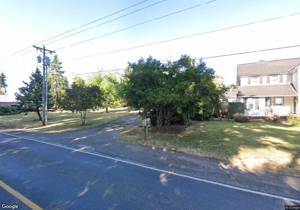
30277 S Barlow Rd Hubbard, OR 97032
Estimated Value: $916,000 - $1,360,363
3
Beds
3
Baths
3,822
Sq Ft
$298/Sq Ft
Est. Value
About This Home
This home is located at 30277 S Barlow Rd, Hubbard, OR 97032 and is currently estimated at $1,138,182, approximately $297 per square foot. 30277 S Barlow Rd is a home located in Clackamas County with nearby schools including Josefa L. Sambrano Elementary School, Philander Lee Elementary School, and Baker Prairie Middle School.
Ownership History
Date
Name
Owned For
Owner Type
Purchase Details
Closed on
Jun 20, 2024
Sold by
Renhard Joseph L and Renhard Susan K
Bought by
Joseph L Renhard And Susan K Renhard Revocabl and Renhard
Current Estimated Value
Purchase Details
Closed on
Dec 17, 2010
Sold by
Renhard Joseph L and Renhard Susan K
Bought by
Renhard Joseph L and Renhard Susan K
Home Financials for this Owner
Home Financials are based on the most recent Mortgage that was taken out on this home.
Original Mortgage
$200,000
Interest Rate
4.17%
Mortgage Type
New Conventional
Purchase Details
Closed on
May 4, 2000
Sold by
Kenagy Jesse W
Bought by
Kenagy Susan K
Create a Home Valuation Report for This Property
The Home Valuation Report is an in-depth analysis detailing your home's value as well as a comparison with similar homes in the area
Home Values in the Area
Average Home Value in this Area
Purchase History
| Date | Buyer | Sale Price | Title Company |
|---|---|---|---|
| Joseph L Renhard And Susan K Renhard Revocabl | -- | None Listed On Document | |
| Renhard Joseph L | -- | First American | |
| Kenagy Susan K | -- | -- |
Source: Public Records
Mortgage History
| Date | Status | Borrower | Loan Amount |
|---|---|---|---|
| Previous Owner | Renhard Joseph L | $200,000 |
Source: Public Records
Tax History Compared to Growth
Tax History
| Year | Tax Paid | Tax Assessment Tax Assessment Total Assessment is a certain percentage of the fair market value that is determined by local assessors to be the total taxable value of land and additions on the property. | Land | Improvement |
|---|---|---|---|---|
| 2025 | $4,713 | $372,897 | -- | -- |
| 2024 | $4,584 | $362,161 | -- | -- |
| 2023 | $4,584 | $351,739 | $0 | $0 |
| 2022 | $4,173 | $341,623 | $0 | $0 |
| 2021 | $4,004 | $331,804 | $0 | $0 |
| 2020 | $3,952 | $322,258 | $0 | $0 |
| 2019 | $3,732 | $312,993 | $0 | $0 |
| 2018 | $3,734 | $304,000 | $0 | $0 |
| 2017 | $3,647 | $295,258 | $0 | $0 |
| 2016 | $3,521 | $286,790 | $0 | $0 |
| 2015 | $3,425 | $278,558 | $0 | $0 |
| 2014 | $3,328 | $270,570 | $0 | $0 |
Source: Public Records
Map
Nearby Homes
- 30413 S Stuwe Rd
- 6150 S Miller Rd
- 29497 S Meridian Rd
- 6939 S Zimmerman Rd
- 30700 S Highway 170
- 29474 S Highway 170
- 17765 Monnier Rd NE
- 27200 S Barlow Rd
- 8949 S Gribble Rd
- 3197 Rainbow Loop Unit 10
- 3370 Maple St
- 3370 Maple St Unit 44
- 18767 Highway 99e
- 9750 S Gribble Rd
- 3472 Hoodview Dr
- 20800 Yosemite St NE
- 30593 S Elisha Rd
- 2995 Molalla Rd
- 14750 Orchard St NE
- 20870 Yosemite St NE
- 30273 Barlow Rd
- 30400 S Barlow Rd
- 30432 S Barlow Rd
- 30432 S Barlow Rd
- 6886 S Miller Rd
- 6846 S Miller Rd
- 30248 S Barlow Rd
- 6806 S Miller Rd
- 30570 S Barlow Rd
- 30050 S Barlow Rd
- 7034 S Barnards Rd
- 7194 S Barnards Rd Unit 1
- 7194 S Barnards Rd
- 6708 S Miller Rd
- 7150 S Barnards Rd
- 6923 S Whiskey Hill Rd
- 7236 S Barnards Rd
- 6875 S Whiskey Hill Rd
- 7290 S Barnards Rd
- 6849 S Whiskey Hill Rd