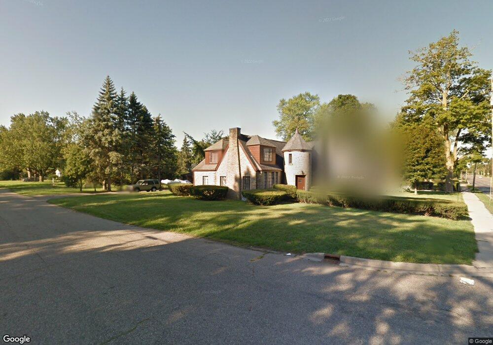
3028 E Main St Kalamazoo, MI 49048
Estimated Value: $217,000 - $244,000
3
Beds
2
Baths
1,896
Sq Ft
$122/Sq Ft
Est. Value
About This Home
This home is located at 3028 E Main St, Kalamazoo, MI 49048 and is currently estimated at $231,557, approximately $122 per square foot. 3028 E Main St is a home located in Kalamazoo County with nearby schools including Northeastern Elementary School, Linden Grove Middle School, and Kalamazoo Central High School.
Ownership History
Date
Name
Owned For
Owner Type
Purchase Details
Closed on
Jan 15, 2010
Sold by
Wylan Roger and Sefton Barbara
Bought by
Martin Ellis Kasi
Current Estimated Value
Home Financials for this Owner
Home Financials are based on the most recent Mortgage that was taken out on this home.
Original Mortgage
$98,090
Outstanding Balance
$64,140
Interest Rate
4.87%
Mortgage Type
FHA
Estimated Equity
$167,417
Create a Home Valuation Report for This Property
The Home Valuation Report is an in-depth analysis detailing your home's value as well as a comparison with similar homes in the area
Home Values in the Area
Average Home Value in this Area
Purchase History
| Date | Buyer | Sale Price | Title Company |
|---|---|---|---|
| Martin Ellis Kasi | $99,900 | Devon |
Source: Public Records
Mortgage History
| Date | Status | Borrower | Loan Amount |
|---|---|---|---|
| Open | Martin Ellis Kasi | $98,090 |
Source: Public Records
Tax History
| Year | Tax Paid | Tax Assessment Tax Assessment Total Assessment is a certain percentage of the fair market value that is determined by local assessors to be the total taxable value of land and additions on the property. | Land | Improvement |
|---|---|---|---|---|
| 2025 | $610 | $122,100 | $0 | $0 |
| 2024 | $593 | $108,500 | $0 | $0 |
| 2023 | $565 | $96,800 | $0 | $0 |
| 2022 | $2,784 | $83,400 | $0 | $0 |
| 2021 | $2,610 | $76,000 | $0 | $0 |
| 2020 | $2,570 | $70,200 | $0 | $0 |
| 2019 | $2,456 | $60,200 | $0 | $0 |
| 2018 | $2,395 | $50,900 | $0 | $0 |
| 2017 | $0 | $50,900 | $0 | $0 |
| 2016 | -- | $47,900 | $0 | $0 |
| 2015 | -- | $45,300 | $0 | $0 |
| 2014 | -- | $43,700 | $0 | $0 |
Source: Public Records
Map
Nearby Homes
- 3011 E Main St
- 1022 Dayton Ave
- 925 Dayton Ave
- 811 Craft Ave
- 1726 Upland Dr
- 3221 Miami Ave
- 1727 Sunnyside Dr
- 705 Dayton Ave
- 561 Arthur Ave
- 926 Washburn Ave
- 1230 Wayside Rd
- 1008 Cooper Ave
- 1934 Nazareth Rd
- 905 Cooper Ave
- 557 Ira Ave
- 546 Washburn Ave
- 3519 Oak Tree Dr
- 2139 Steger Ave
- 1308 Colgrove Ave
- 2117 Lakewood Dr
- 3020 E Main St
- 1115 Ashley Dr
- 1124 Ashley Dr
- 3006 E Main St
- 3025 E Main St
- 3113 E Main St
- 1116 Dwillard Dr
- 3109 E Main St
- 1110 Dwillard Dr
- 1102 Ashley Dr
- 1220 Upland Dr
- 1031 Ashley Dr
- 3210 E Main St
- 1123 Clearview St
- 3003 E Main St
- 1117 Clearview St
- 1224 Upland Dr
- 1111 Clearview St
- 1223 Baker Dr
- 1208 Baker Dr
Your Personal Tour Guide
Ask me questions while you tour the home.