30294 E Camp Creek Trail Government Camp, OR 97028
Estimated Value: $942,997 - $1,215,000
3
Beds
2
Baths
1,770
Sq Ft
$616/Sq Ft
Est. Value
About This Home
This home is located at 30294 E Camp Creek Trail, Government Camp, OR 97028 and is currently estimated at $1,090,249, approximately $615 per square foot. 30294 E Camp Creek Trail is a home with nearby schools including Welches Elementary School, Welches Middle School, and Sandy High School.
Ownership History
Date
Name
Owned For
Owner Type
Purchase Details
Closed on
Mar 6, 2025
Sold by
Grose Olive C
Bought by
Charles C Dobson Revocable Trust and Dobson
Current Estimated Value
Purchase Details
Closed on
Feb 25, 2025
Sold by
Charles C Dobson Revocable Trust and Dobson Charles C
Bought by
Charles C Dobson Revocable Trust and Dobson
Purchase Details
Closed on
May 24, 2007
Sold by
Dobson Charles C
Bought by
Dobson Charles C and Dobson Julianne M
Create a Home Valuation Report for This Property
The Home Valuation Report is an in-depth analysis detailing your home's value as well as a comparison with similar homes in the area
Home Values in the Area
Average Home Value in this Area
Purchase History
| Date | Buyer | Sale Price | Title Company |
|---|---|---|---|
| Charles C Dobson Revocable Trust | -- | None Listed On Document | |
| Charles C Dobson Revocable Trust | -- | None Listed On Document | |
| Dobson Charles C | -- | None Available |
Source: Public Records
Tax History Compared to Growth
Tax History
| Year | Tax Paid | Tax Assessment Tax Assessment Total Assessment is a certain percentage of the fair market value that is determined by local assessors to be the total taxable value of land and additions on the property. | Land | Improvement |
|---|---|---|---|---|
| 2025 | $5,398 | $336,527 | -- | -- |
| 2024 | $4,897 | $326,726 | -- | -- |
| 2023 | $4,897 | $317,210 | $0 | $0 |
| 2022 | $4,646 | $307,971 | $0 | $0 |
| 2021 | $4,484 | $299,001 | $0 | $0 |
| 2020 | $4,366 | $290,293 | $0 | $0 |
| 2019 | $4,337 | $281,838 | $0 | $0 |
| 2018 | $4,150 | $273,629 | $0 | $0 |
| 2017 | $4,054 | $265,659 | $0 | $0 |
| 2016 | $3,914 | $257,921 | $0 | $0 |
| 2015 | $3,805 | $250,409 | $0 | $0 |
| 2014 | $3,709 | $243,116 | $0 | $0 |
Source: Public Records
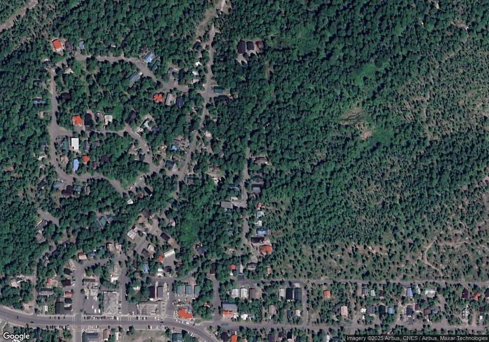
Map
Nearby Homes
- 30568 E Yule St
- 88887 E Government Camp Loop
- 88792 E Government Camp Loop
- 88460 Government Camp Loop Unit 8
- 88264 E Steel Ln
- 88940 E Round Mountain Loop
- 30654 E Ski Bowl Way Unit H-138
- 88090 E Outback Way Unit 146
- 89790 E Morrison Ln
- 30605 E Camryn Way Unit D-20
- 87946 E Alpenglow Ln
- 87926 E Alpenglow Ln Unit 61
- 87916 E Alpenglow Ln Unit 62
- 31200 E Collins Lake Rd Unit 1
- 31254 E Collins Lake Rd Unit 22
- 31244 E Collins Lake Rd Unit 21
- 30930 E Tyrolean Dr
- 90770 E Summit Prairie Rd
- 79340 E Road 35a Unit Lot 44
- 78880 Road 34
- 30290 E Camp Creek Trail
- 30318 E Camp Creek Trail
- 30342 E Camp Creek Trail
- 30280 E Camp Creek Trail
- 30301 E Camp Creek Trail
- 30388 E Camp Creek Trail
- 11801 E Camp Creek Trail
- 0 E Camp Creek Trail
- 30392 E Camp Creek Trail
- 30345 E Camp Creek Trail
- 30375 E Camp Creek Trail
- 30216 E Blossom Tr
- 30290 E Blossom Trail
- 30396 E Camp Creek Trail
- 30203 E Camp Creek Trail
- 30216 E Blossom Trail
- 30286 E Blossom Trail
- 30385 E Camp Creek Trail
- 30410 E Camp Creek Trail
- 30180 E Camp Creek Trail