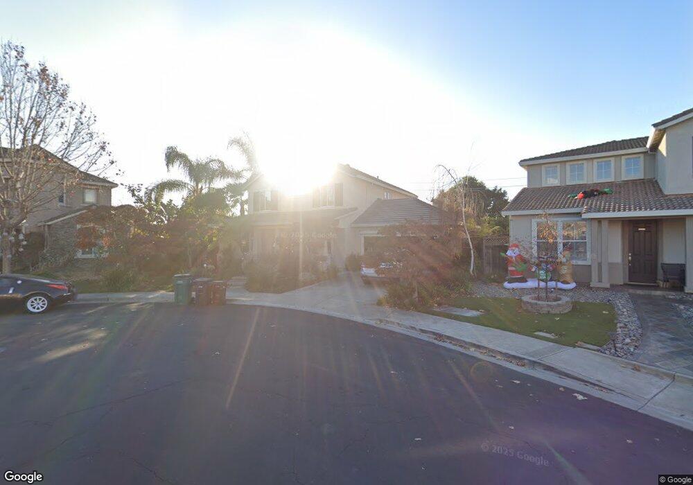
30299 Brookside Ln Hayward, CA 94544
Fairway Park NeighborhoodEstimated Value: $1,510,526 - $1,921,000
4
Beds
3
Baths
2,284
Sq Ft
$718/Sq Ft
Est. Value
About This Home
This home is located at 30299 Brookside Ln, Hayward, CA 94544 and is currently estimated at $1,640,132, approximately $718 per square foot. 30299 Brookside Ln is a home located in Alameda County with nearby schools including Treeview Elementary, Cesar Chavez Middle School, and Tennyson High School.
Ownership History
Date
Name
Owned For
Owner Type
Purchase Details
Closed on
Sep 14, 2007
Sold by
Sinclair Terry Al
Bought by
Sinclair Terry Al and The Terry Al Sinclair Revocabl
Current Estimated Value
Purchase Details
Closed on
Oct 1, 1999
Sold by
Standard Pacific Corp
Bought by
Sinclair Terry Al and Broadway Eugene Toussant
Home Financials for this Owner
Home Financials are based on the most recent Mortgage that was taken out on this home.
Original Mortgage
$240,000
Interest Rate
7.95%
Create a Home Valuation Report for This Property
The Home Valuation Report is an in-depth analysis detailing your home's value as well as a comparison with similar homes in the area
Home Values in the Area
Average Home Value in this Area
Purchase History
| Date | Buyer | Sale Price | Title Company |
|---|---|---|---|
| Sinclair Terry Al | -- | None Available | |
| Broadway Eugene Toussant | -- | None Available | |
| Sinclair Terry Al | -- | None Available | |
| Sinclair Terry Al | $431,500 | First American Title Guarant |
Source: Public Records
Mortgage History
| Date | Status | Borrower | Loan Amount |
|---|---|---|---|
| Previous Owner | Sinclair Terry Al | $240,000 | |
| Closed | Sinclair Terry Al | $70,000 |
Source: Public Records
Tax History
| Year | Tax Paid | Tax Assessment Tax Assessment Total Assessment is a certain percentage of the fair market value that is determined by local assessors to be the total taxable value of land and additions on the property. | Land | Improvement |
|---|---|---|---|---|
| 2025 | $9,524 | $730,509 | $198,873 | $531,636 |
| 2024 | $9,524 | $716,187 | $194,974 | $521,213 |
| 2023 | $9,354 | $702,147 | $191,152 | $510,995 |
| 2022 | $9,173 | $688,381 | $187,404 | $500,977 |
| 2021 | $9,148 | $674,887 | $183,731 | $491,156 |
| 2020 | $9,054 | $667,971 | $181,848 | $486,123 |
| 2019 | $9,138 | $654,876 | $178,283 | $476,593 |
| 2018 | $8,565 | $642,038 | $174,788 | $467,250 |
| 2017 | $8,360 | $629,451 | $171,361 | $458,090 |
| 2016 | $7,919 | $617,112 | $168,002 | $449,110 |
| 2015 | $7,773 | $607,844 | $165,479 | $442,365 |
| 2014 | $7,466 | $595,937 | $162,237 | $433,700 |
Source: Public Records
Map
Nearby Homes
- 327 Brookview Way
- 30725 Brae Burn Ave
- 260 Industrial Pkwy Unit 47
- 242 Bolt Ct
- 29621 Red Oak Ct Unit 6
- 674 Gleneagle Ave
- 677 Fairway St
- 29629 Mountain Oak Ct Unit 50
- 30951 Faircliff St
- 29583 Vanderbilt St Unit 310
- 29286 Whalebone Way
- 673 Royston Ln Unit 233
- 29322 Hub Ln
- 699 Fiesta Place
- 675 Delve Ct
- 721 Delve Ct
- 29372 Providence Way Unit 111
- 29273 Nantucket Way
- 729 Delve Ct
- 29424 Providence Way
- 303 Brookview Way
- 30293 Brookside Ln
- 307 Brookview Way
- 30287 Brookside Ln
- 30292 Brookside Ln
- 311 Brookview Way
- 30281 Brookside Ln
- 30286 Brookside Ln
- 30352 Saint Annes Place
- 312 Brookview Way
- 315 Brookview Way
- 30280 Brookside Ln
- 30275 Brookside Ln
- 318 Brookview Way
- 30351 Saint Annes Place
- 30274 Brookside Ln
- 319 Brookview Way
- 30269 Brookside Ln
- 307 Brooktree Ct
- 315 Brooktree Ct
Your Personal Tour Guide
Ask me questions while you tour the home.