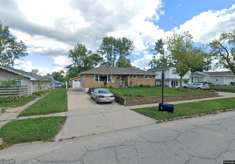
303 10th Ave Hiawatha, IA 52233
Estimated Value: $197,000 - $247,091
3
Beds
2
Baths
2,286
Sq Ft
$96/Sq Ft
Est. Value
About This Home
This home is located at 303 10th Ave, Hiawatha, IA 52233 and is currently estimated at $219,023, approximately $95 per square foot. 303 10th Ave is a home located in Linn County with nearby schools including Hiawatha Elementary School, Harding Middle School, and John F. Kennedy High School.
Ownership History
Date
Name
Owned For
Owner Type
Purchase Details
Closed on
Jul 19, 2024
Sold by
Mcdonell Donald L and Mcdonell Sheryl L
Bought by
Mcdonell Donald L and Mcdonell Sheryl L
Current Estimated Value
Purchase Details
Closed on
Mar 20, 2010
Sold by
Brunner Michael P and Brunner Shelley K
Bought by
Mcdonell Joseph D
Home Financials for this Owner
Home Financials are based on the most recent Mortgage that was taken out on this home.
Original Mortgage
$145,319
Interest Rate
5.5%
Mortgage Type
FHA
Purchase Details
Closed on
Jun 30, 2000
Sold by
Thomas Scott W and Thomas Debra K
Bought by
Brunner Michael P and Brunner Shelley K
Home Financials for this Owner
Home Financials are based on the most recent Mortgage that was taken out on this home.
Original Mortgage
$108,817
Interest Rate
8.66%
Mortgage Type
FHA
Create a Home Valuation Report for This Property
The Home Valuation Report is an in-depth analysis detailing your home's value as well as a comparison with similar homes in the area
Home Values in the Area
Average Home Value in this Area
Purchase History
| Date | Buyer | Sale Price | Title Company |
|---|---|---|---|
| Mcdonell Donald L | -- | None Listed On Document | |
| Mcdonell Donald L | -- | None Listed On Document | |
| Mcdonell Joseph D | $147,500 | None Available | |
| Brunner Michael P | $108,500 | -- |
Source: Public Records
Mortgage History
| Date | Status | Borrower | Loan Amount |
|---|---|---|---|
| Previous Owner | Mcdonell Joseph D | $145,319 | |
| Previous Owner | Brunner Michael P | $108,817 |
Source: Public Records
Tax History Compared to Growth
Tax History
| Year | Tax Paid | Tax Assessment Tax Assessment Total Assessment is a certain percentage of the fair market value that is determined by local assessors to be the total taxable value of land and additions on the property. | Land | Improvement |
|---|---|---|---|---|
| 2025 | $3,568 | $236,400 | $24,900 | $211,500 |
| 2024 | $3,344 | $212,400 | $24,900 | $187,500 |
| 2023 | $3,344 | $217,100 | $24,900 | $192,200 |
| 2022 | $3,302 | $164,900 | $24,900 | $140,000 |
| 2021 | $3,804 | $164,900 | $24,900 | $140,000 |
| 2020 | $3,804 | $177,500 | $24,900 | $152,600 |
| 2019 | $3,532 | $177,500 | $24,900 | $152,600 |
| 2018 | $3,470 | $165,600 | $24,900 | $140,700 |
| 2017 | $3,222 | $150,900 | $24,900 | $126,000 |
| 2016 | $3,222 | $150,900 | $24,900 | $126,000 |
| 2015 | $3,230 | $150,900 | $24,900 | $126,000 |
| 2014 | $3,230 | $150,900 | $24,900 | $126,000 |
| 2013 | $3,144 | $150,900 | $24,900 | $126,000 |
Source: Public Records
Map
Nearby Homes
- 306 10th Ave
- 1026 Eisenhower Rd
- 40 11th Ave
- 1213 Bowler St
- 1213 Raney St
- 5455 Blairs Ferry Rd NE
- 1284 Rainbow Blvd
- 3 N Center Point Rd
- 1 N Center Point Rd
- 2131 Blairs Ferry Rd NE
- 1364 Cress Pkwy
- 4735 Westchester Dr NE Unit C
- 4725 Westchester Dr NE Unit C
- 3105 Towne House Dr NE
- 4630 Westchester Dr NE
- 3709 Spruce Wood Dr NE
- 3700 Fir Tree Dr NE
- 109 E Willman St
- 4555 Westchester Dr NE Unit B
- 2838 Anne Dr