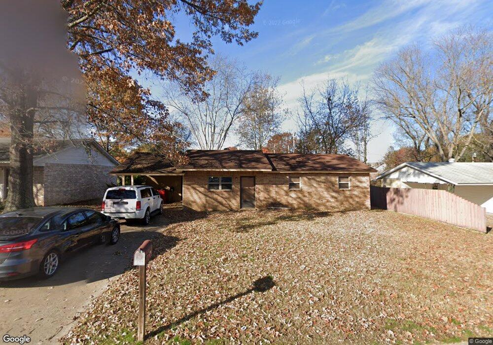
303 Adams St Morrilton, AR 72110
Estimated Value: $122,953 - $140,000
--
Bed
1
Bath
1,092
Sq Ft
$121/Sq Ft
Est. Value
About This Home
This home is located at 303 Adams St, Morrilton, AR 72110 and is currently estimated at $132,238, approximately $121 per square foot. 303 Adams St is a home located in Conway County with nearby schools including Morrilton Primary School, Morrilton Elementary School, and Morrilton Intermediate School.
Ownership History
Date
Name
Owned For
Owner Type
Purchase Details
Closed on
May 3, 2016
Sold by
Carrington Mortgage Services Llc
Bought by
Diamondrock Llc
Current Estimated Value
Purchase Details
Closed on
Mar 25, 2015
Sold by
Autumn Autumn
Bought by
Carrington Mortgage Services Llc
Purchase Details
Closed on
Jan 4, 2008
Sold by
Sluder Elinor J and Millwood Ruth
Bought by
Batchelor Autum
Home Financials for this Owner
Home Financials are based on the most recent Mortgage that was taken out on this home.
Original Mortgage
$58,163
Interest Rate
5.94%
Purchase Details
Closed on
May 6, 1993
Bought by
Sluder Sluder W and Sluder C
Purchase Details
Closed on
Jan 1, 1984
Bought by
Erwin Ronnie
Create a Home Valuation Report for This Property
The Home Valuation Report is an in-depth analysis detailing your home's value as well as a comparison with similar homes in the area
Home Values in the Area
Average Home Value in this Area
Purchase History
| Date | Buyer | Sale Price | Title Company |
|---|---|---|---|
| Diamondrock Llc | -- | -- | |
| Carrington Mortgage Services Llc | $62,532 | -- | |
| Batchelor Autum | $50,000 | -- | |
| Sluder Sluder W | $36,000 | -- | |
| Erwin Ronnie | -- | -- |
Source: Public Records
Mortgage History
| Date | Status | Borrower | Loan Amount |
|---|---|---|---|
| Previous Owner | Batchelor Autum | $58,163 |
Source: Public Records
Tax History Compared to Growth
Tax History
| Year | Tax Paid | Tax Assessment Tax Assessment Total Assessment is a certain percentage of the fair market value that is determined by local assessors to be the total taxable value of land and additions on the property. | Land | Improvement |
|---|---|---|---|---|
| 2025 | $737 | $13,630 | $1,750 | $11,880 |
| 2024 | $737 | $13,630 | $1,750 | $11,880 |
| 2023 | $691 | $13,630 | $1,750 | $11,880 |
| 2022 | $633 | $13,630 | $1,750 | $11,880 |
| 2021 | $576 | $10,640 | $1,690 | $8,950 |
| 2020 | $576 | $10,640 | $1,690 | $8,950 |
| 2019 | $576 | $10,640 | $1,690 | $8,950 |
| 2018 | $576 | $10,640 | $1,690 | $8,950 |
| 2017 | $576 | $10,640 | $1,690 | $8,950 |
| 2016 | $573 | $10,730 | $1,690 | $9,040 |
| 2015 | $181 | $10,730 | $1,690 | $9,040 |
| 2014 | $181 | $10,730 | $1,690 | $9,040 |
Source: Public Records
Map
Nearby Homes
- 301 Adams St
- 305 Adams St
- 307 Adams St
- 302 Adams St
- 205 Adams St
- 127 Shadybrook Dr
- 127 Shadybrook Dr
- 304 Adams St
- 309 Adams St
- 130 Shadybrook Dr
- 127 and 130 Shady Brook Dr
- 103 Eisenhower St
- 203 Adams St
- 100 Eisenhower St
- 102 Filmore St
- 403 Adams St
- 105 Eisenhower St
- 206 Adams St
- 128 Shadybrook Dr
- 104 Filmore St