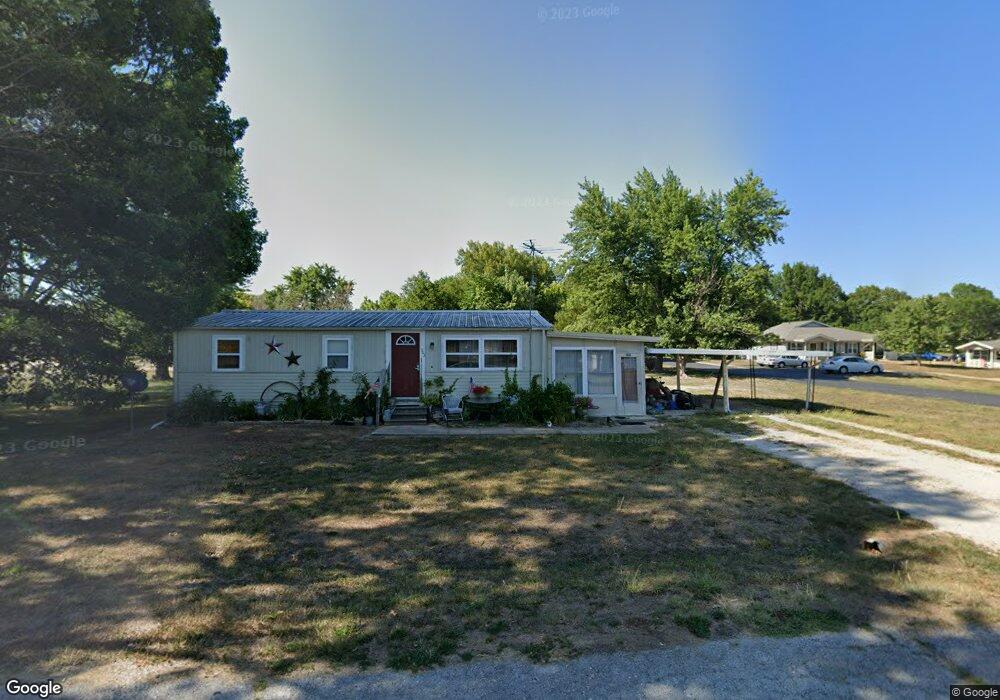
303 E Park St Stockton, MO 65785
Estimated Value: $107,000 - $163,000
3
Beds
2
Baths
1,088
Sq Ft
$117/Sq Ft
Est. Value
About This Home
This home is located at 303 E Park St, Stockton, MO 65785 and is currently estimated at $127,003, approximately $116 per square foot. 303 E Park St is a home located in Cedar County with nearby schools including Stockton Elementary School, Stockton Middle School, and Stockton High School.
Ownership History
Date
Name
Owned For
Owner Type
Purchase Details
Closed on
Mar 4, 2016
Sold by
Ireland Steven Randall and Ireland Pennie
Bought by
Malouff Robert L and Malouff Star E
Current Estimated Value
Purchase Details
Closed on
Jun 1, 2010
Sold by
Matthews Christopher and Matthews Stephanie
Bought by
Ireland Steven Randall and Ireland Pennie
Home Financials for this Owner
Home Financials are based on the most recent Mortgage that was taken out on this home.
Original Mortgage
$26,400
Interest Rate
5%
Mortgage Type
Purchase Money Mortgage
Create a Home Valuation Report for This Property
The Home Valuation Report is an in-depth analysis detailing your home's value as well as a comparison with similar homes in the area
Home Values in the Area
Average Home Value in this Area
Purchase History
| Date | Buyer | Sale Price | Title Company |
|---|---|---|---|
| Malouff Robert L | -- | None Available | |
| Ireland Steven Randall | -- | None Available |
Source: Public Records
Mortgage History
| Date | Status | Borrower | Loan Amount |
|---|---|---|---|
| Previous Owner | Ireland Steven Randall | $26,400 |
Source: Public Records
Tax History Compared to Growth
Tax History
| Year | Tax Paid | Tax Assessment Tax Assessment Total Assessment is a certain percentage of the fair market value that is determined by local assessors to be the total taxable value of land and additions on the property. | Land | Improvement |
|---|---|---|---|---|
| 2025 | $269 | $6,410 | $940 | $5,470 |
| 2024 | $269 | $5,580 | $820 | $4,760 |
| 2023 | $271 | $5,570 | $0 | $0 |
| 2022 | $270 | $5,570 | $0 | $0 |
| 2021 | $261 | $5,570 | $0 | $0 |
| 2020 | $261 | $5,370 | $0 | $0 |
| 2019 | $254 | $5,370 | $0 | $0 |
| 2018 | $253 | $5,370 | $0 | $0 |
| 2017 | -- | $5,370 | $0 | $0 |
| 2016 | -- | $5,370 | $0 | $0 |
| 2015 | -- | $5,370 | $0 | $0 |
| 2014 | -- | $5,370 | $0 | $0 |
| 2013 | -- | $5,370 | $0 | $0 |
Source: Public Records
Map
Nearby Homes
- 209 E Oak St
- 507 E Sunset St
- 504 S Chestnut St
- 807 E Surf St
- 309 S Chestnut St
- 407 S High St
- 111 E Locust St
- 200 N Blair Dr
- 502 E Highway 32
- 212 East St
- 312 East St
- 000 State Highway 32
- 008 State Highway 32
- 007 State Highway 32
- 006 State Highway 32
- 204 N Blake
- 000 Englewood Dr
- 21772 State Highway 32
- 14562 S 3rd St
- 602 W Highway 32
- 801 S Vine St
- 806 S Vine St
- 802 S Vine St
- 808 S Vine St
- 800 S Vine St
- 800 S Cherry St
- 801 S Cherry St
- 1003 S Cherry St
- 502 E Park Dr
- 911 S Cherry St
- 904 S Cherry St
- 1102 S Cherry St
- 800 S Blake St
- 710 S Vine St
- 711 S Vine St
- 706 S Vine St
- 500 E Petty Ln
- 302 E Sunset St
- 407 E Petty Ln
- 801 S Church St