303 Forest Ln Crested Butte, CO 81224
Estimated Value: $3,672,000 - $6,736,000
5
Beds
6
Baths
8,029
Sq Ft
$703/Sq Ft
Est. Value
About This Home
This home is located at 303 Forest Ln, Crested Butte, CO 81224 and is currently estimated at $5,646,122, approximately $703 per square foot. 303 Forest Ln is a home located in Gunnison County with nearby schools including Gunnison Elementary School, Crested Butte Community School, and Gunnison Middle School.
Ownership History
Date
Name
Owned For
Owner Type
Purchase Details
Closed on
Jun 26, 2007
Sold by
Dawlett Melissa
Bought by
Dawlett Haythem
Current Estimated Value
Home Financials for this Owner
Home Financials are based on the most recent Mortgage that was taken out on this home.
Original Mortgage
$4,000,000
Interest Rate
6.72%
Mortgage Type
Seller Take Back
Purchase Details
Closed on
Jun 18, 2007
Sold by
Dawlett Melissa
Bought by
Dawlett Haythem
Home Financials for this Owner
Home Financials are based on the most recent Mortgage that was taken out on this home.
Original Mortgage
$4,000,000
Interest Rate
6.72%
Mortgage Type
Seller Take Back
Purchase Details
Closed on
Nov 17, 2006
Sold by
Dawlett Haythem
Bought by
Dawlett Haythem and Dawlett Melissa
Home Financials for this Owner
Home Financials are based on the most recent Mortgage that was taken out on this home.
Original Mortgage
$2,800,000
Interest Rate
6.37%
Mortgage Type
New Conventional
Purchase Details
Closed on
Nov 10, 2006
Sold by
Taylor Merchant Real Estate Partners Llc
Bought by
Dawlett Haythem
Home Financials for this Owner
Home Financials are based on the most recent Mortgage that was taken out on this home.
Original Mortgage
$2,800,000
Interest Rate
6.37%
Mortgage Type
New Conventional
Purchase Details
Closed on
Oct 31, 2006
Sold by
Silver State Fund Consortium Llc and Taylor Jeffrey L
Bought by
Dewlett Haythem
Home Financials for this Owner
Home Financials are based on the most recent Mortgage that was taken out on this home.
Original Mortgage
$2,800,000
Interest Rate
6.37%
Mortgage Type
New Conventional
Purchase Details
Closed on
Mar 5, 2001
Sold by
Silver State Fund Consortium Llc
Bought by
Taylor Merchant Real Estate Partners Llc
Purchase Details
Closed on
Feb 21, 2001
Sold by
Monterey Development Corp
Bought by
Silver State Fund Consortium Llc
Purchase Details
Closed on
Mar 26, 1998
Sold by
Barrett Nona Norsworthy
Bought by
Monterey Development Corp
Purchase Details
Closed on
Sep 17, 1992
Create a Home Valuation Report for This Property
The Home Valuation Report is an in-depth analysis detailing your home's value as well as a comparison with similar homes in the area
Home Values in the Area
Average Home Value in this Area
Purchase History
| Date | Buyer | Sale Price | Title Company |
|---|---|---|---|
| Dawlett Haythem | -- | None Available | |
| Dawlett Haythem | -- | None Available | |
| Dawlett Haythem | -- | None Available | |
| Dawlett Haythem | $4,300,000 | None Available | |
| Dewlett Haythem | -- | None Available | |
| Taylor Merchant Real Estate Partners Llc | -- | -- | |
| Silver State Fund Consortium Llc | $3,100,000 | -- | |
| Monterey Development Corp | $250,000 | -- | |
| -- | $115,000 | -- |
Source: Public Records
Mortgage History
| Date | Status | Borrower | Loan Amount |
|---|---|---|---|
| Previous Owner | Dawlett Haythem | $4,000,000 | |
| Previous Owner | Dawlett Haythem | $2,833,500 | |
| Previous Owner | Dawlett Haythem | $2,800,000 | |
| Previous Owner | Dawlett Haythem | $2,800,000 | |
| Previous Owner | Dewlett Haythem | $2,800,000 |
Source: Public Records
Tax History Compared to Growth
Tax History
| Year | Tax Paid | Tax Assessment Tax Assessment Total Assessment is a certain percentage of the fair market value that is determined by local assessors to be the total taxable value of land and additions on the property. | Land | Improvement |
|---|---|---|---|---|
| 2024 | $30,126 | $406,340 | $42,520 | $363,820 |
| 2023 | $35,951 | $402,660 | $42,140 | $360,520 |
| 2022 | $30,801 | $344,980 | $33,860 | $311,120 |
| 2021 | $28,352 | $354,900 | $34,830 | $320,070 |
| 2020 | $27,554 | $327,330 | $34,830 | $292,500 |
| 2019 | $27,173 | $327,330 | $34,830 | $292,500 |
| 2018 | $25,309 | $281,360 | $17,500 | $263,860 |
| 2017 | $25,476 | $281,360 | $17,500 | $263,860 |
| 2016 | $32,648 | $375,530 | $17,700 | $357,830 |
| 2015 | $14,878 | $375,530 | $17,700 | $357,830 |
| 2014 | $14,878 | $307,660 | $18,020 | $289,640 |
Source: Public Records
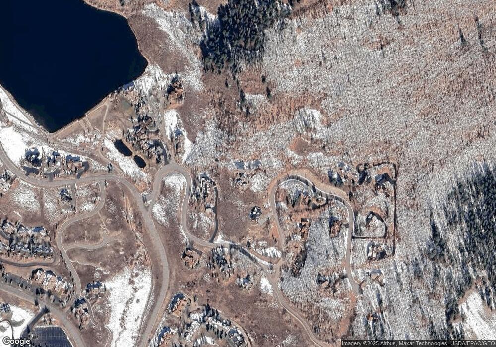
Map
Nearby Homes
- 412 Ridge Rd
- 350 Country Club Dr Unit 217A
- 350 Country Club Dr Unit 218A
- 350 Country Club Dr Unit 402A
- 1665 Skyland Dr
- 434 Country Club Dr
- 315 Par Ln
- 0 Tbd Saddle Ridge Rd
- 618 Country Club Dr
- 402 Eagle Ln
- 168 W Silver Sage Dr
- 262 Larkspur Loop
- 491 Slate River Dr
- 253 W Silver Sage Dr
- 365 Larkspur Loop
- 166 & 168 Coyote Cir
- 115 Larkspur Loop
- 180 Elk Valley Rd Unit 124
- 180 Elk Valley Rd Unit 109
- 180 Elk Valley Rd Unit 110
- 303 Forest Ln
- 333 Ridge Rd
- 497 Ridge Rd
- 123 Forest Ln
- 356 Forest Ln
- 11 Garland Dr
- 0 Forest Ln Unit 769694
- 0 Forest Ln Unit 759820
- 0 Forest Ln Unit 745350
- 0 Forest Ln Unit 741379
- 0 Forest Ln Unit 735969
- 0 Forest Ln Unit 3048
- 0 Forest Ln Unit 3510
- 0 Forest Ln Unit S27 Lane 5054
- 0 Forest Ln Unit 726431
- 0 Forest Ln Unit 733987
- 0 Forest Ln Unit 731624
- 0 Forest Ln Unit 798 Forest Lane 8960
- 0 Forest Ln Unit 9167
- 0 Forest Ln Unit 9735