303 High Peak Trail Broken Bow, OK 74728
Estimated Value: $376,722 - $544,000
2
Beds
1
Bath
936
Sq Ft
$473/Sq Ft
Est. Value
About This Home
This home is located at 303 High Peak Trail, Broken Bow, OK 74728 and is currently estimated at $442,431, approximately $472 per square foot. 303 High Peak Trail is a home with nearby schools including Dierks Elementary School, Bennett Elementary School, and Rector Johnson Middle School.
Ownership History
Date
Name
Owned For
Owner Type
Purchase Details
Closed on
Apr 2, 2018
Sold by
Hurley Philip John and Hurley Jennifer Lauren
Bought by
Glossup Derek Ray and Glossup Jennifer Van Thuy Thi
Current Estimated Value
Home Financials for this Owner
Home Financials are based on the most recent Mortgage that was taken out on this home.
Original Mortgage
$238,500
Outstanding Balance
$203,581
Interest Rate
4.4%
Mortgage Type
New Conventional
Estimated Equity
$238,850
Purchase Details
Closed on
Jan 29, 2009
Sold by
Hochatown Timber Creek Properties Llc
Bought by
Hurley Philip John and Hurley Jennifer Lauren
Create a Home Valuation Report for This Property
The Home Valuation Report is an in-depth analysis detailing your home's value as well as a comparison with similar homes in the area
Home Values in the Area
Average Home Value in this Area
Purchase History
| Date | Buyer | Sale Price | Title Company |
|---|---|---|---|
| Glossup Derek Ray | $265,000 | None Available | |
| Hurley Philip John | $43,500 | -- |
Source: Public Records
Mortgage History
| Date | Status | Borrower | Loan Amount |
|---|---|---|---|
| Open | Glossup Derek Ray | $238,500 |
Source: Public Records
Tax History
| Year | Tax Paid | Tax Assessment Tax Assessment Total Assessment is a certain percentage of the fair market value that is determined by local assessors to be the total taxable value of land and additions on the property. | Land | Improvement |
|---|---|---|---|---|
| 2025 | $2,592 | $31,082 | $10,485 | $20,597 |
| 2024 | $2,553 | $30,612 | $9,851 | $20,761 |
| 2023 | $2,390 | $29,154 | $4,950 | $24,204 |
| 2022 | $2,391 | $29,154 | $4,950 | $24,204 |
| 2021 | $2,350 | $29,154 | $4,950 | $24,204 |
| 2020 | $2,369 | $29,155 | $4,950 | $24,205 |
| 2019 | $2,380 | $29,150 | $4,950 | $24,200 |
| 2018 | $1,384 | $16,758 | $4,950 | $11,808 |
| 2017 | $1,395 | $16,758 | $4,950 | $11,808 |
| 2016 | $1,383 | $16,483 | $4,785 | $11,698 |
| 2015 | $1,341 | $15,626 | $4,785 | $10,841 |
| 2014 | $1,285 | $14,882 | $4,785 | $10,097 |
Source: Public Records
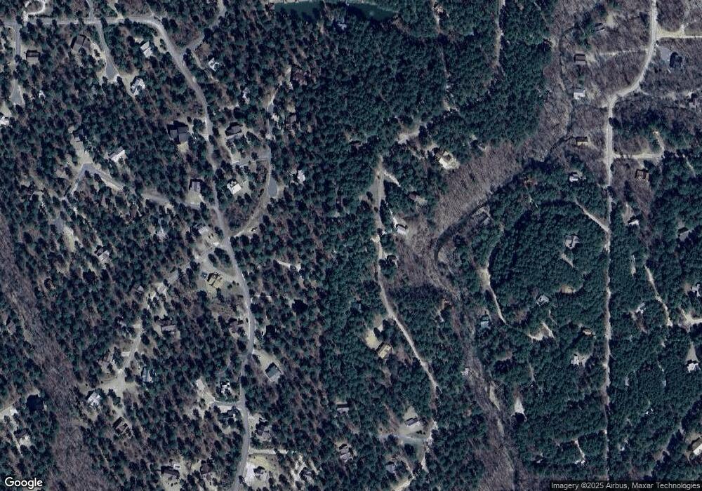
Map
Nearby Homes
- 274 Eagle Mountain Trail E
- 243 Deer Creek Trail
- 88 Bent Pine Trail
- 625 Deer Creek Trail
- 113 Ridgeline Trail
- 67 Bent Pine Trail
- 562 Timber Creek Trail
- 165 Huckleberry Trail
- 28 Mossy Oak Trail
- 38 Rough Cut Cir
- 573 Timber Creek Trail
- 51 White Tail Cir
- 62 Fork Creek Trail
- 686 Timber Creek Trails South XI
- 662 Timber Creek Trails South XI
- 776 Timber Creek Trails South XI
- 772 Timber Creek Trails South XI
- 710 Timber Creek Trails South XI
- 708 Timber Creek Trails South XI
- 774 Timber Creek Trails South XI
- 134 Timber Creek Trail
- 278 High Peak Trail
- 278 High Peak Trail
- 25 Mcdaniel Spur
- 51 Timber Creek Trail
- 263 High Peak Trail
- 200 Timber Creek Trail
- 262 High Peak Trail
- 18 Mcdaniel Spur
- 581 High Peak Trail
- 30 Burberry Cir
- 32 Mcdaniel Spur
- 107 Mountain Loop
- 12 Eagle Mountain Trail E
- 241 High Peak Trail
- 0 Mountain Loop Unit 1057077
- 0 Mountain Loop Unit 1030089
- 406 Eagle Mountain Trail E
- 12 Eagle Mountain
- 27 Eagle Mountain Trail E
Your Personal Tour Guide
Ask me questions while you tour the home.