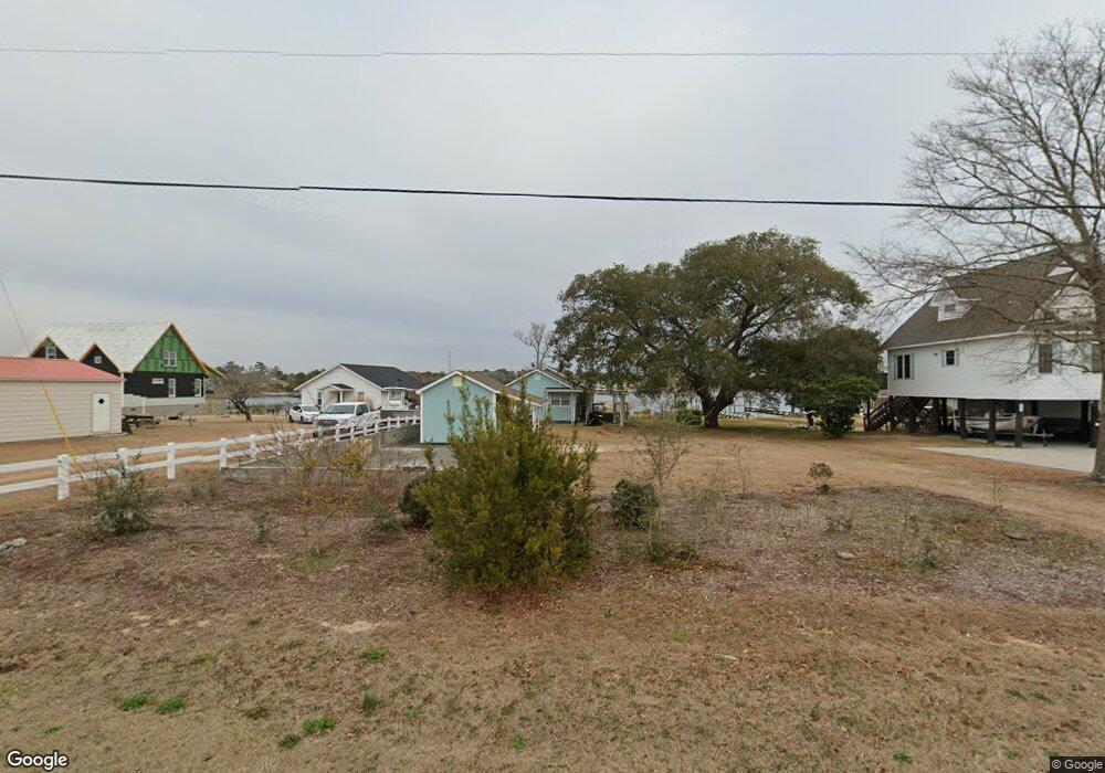
303 Pearson Cir Newport, NC 28570
Estimated Value: $341,074 - $436,000
3
Beds
2
Baths
1,120
Sq Ft
$345/Sq Ft
Est. Value
About This Home
This home is located at 303 Pearson Cir, Newport, NC 28570 and is currently estimated at $386,269, approximately $344 per square foot. 303 Pearson Cir is a home located in Carteret County with nearby schools including Bogue Sound Elementary School, Broad Creek Middle School, and Croatan High School.
Ownership History
Date
Name
Owned For
Owner Type
Purchase Details
Closed on
Dec 18, 2024
Sold by
Dreps Mary Frances
Bought by
Mary Frances Dreps Living Trust and Dreps
Current Estimated Value
Purchase Details
Closed on
Oct 15, 2015
Sold by
Dreps Mary Frances
Bought by
Dreps M Frances
Home Financials for this Owner
Home Financials are based on the most recent Mortgage that was taken out on this home.
Original Mortgage
$205,200
Interest Rate
3.75%
Mortgage Type
Adjustable Rate Mortgage/ARM
Create a Home Valuation Report for This Property
The Home Valuation Report is an in-depth analysis detailing your home's value as well as a comparison with similar homes in the area
Home Values in the Area
Average Home Value in this Area
Purchase History
| Date | Buyer | Sale Price | Title Company |
|---|---|---|---|
| Mary Frances Dreps Living Trust | -- | None Listed On Document | |
| Dreps M Frances | $228,000 | Attorney |
Source: Public Records
Mortgage History
| Date | Status | Borrower | Loan Amount |
|---|---|---|---|
| Previous Owner | Dreps M Frances | $205,200 |
Source: Public Records
Tax History Compared to Growth
Tax History
| Year | Tax Paid | Tax Assessment Tax Assessment Total Assessment is a certain percentage of the fair market value that is determined by local assessors to be the total taxable value of land and additions on the property. | Land | Improvement |
|---|---|---|---|---|
| 2025 | $1,854 | $575,882 | $361,665 | $214,217 |
| 2024 | $920 | $186,879 | $114,260 | $72,619 |
| 2023 | $994 | $186,879 | $114,260 | $72,619 |
| 2022 | $976 | $186,879 | $114,260 | $72,619 |
| 2021 | $938 | $186,879 | $114,260 | $72,619 |
| 2020 | $946 | $186,879 | $114,260 | $72,619 |
| 2019 | $923 | $190,478 | $114,260 | $76,218 |
| 2017 | $912 | $187,742 | $114,260 | $73,482 |
| 2016 | $912 | $187,742 | $114,260 | $73,482 |
| 2015 | $856 | $187,742 | $114,260 | $73,482 |
| 2014 | $1,375 | $331,938 | $269,286 | $62,652 |
Source: Public Records
Map
Nearby Homes
- 264 Pearson Cir
- 128 Creek Bluff Rd
- 124 Creek Bluff Rd
- 114 Creek Bluff Rd
- 600 Pearson Cir
- 444 Pearson Cir
- 107 Creek Bluff Rd
- 109 Pelican Dr
- 680 Broad Creek Loop Rd
- 151 Charles St
- 142 Sunny Point Ln
- 111 Key Ln W
- 108 Henderson Dr
- 204 Junius Dr
- 676 Broad Creek Loop Rd
- 3387 Highway 24
- 312 Rollingwood Dr
- 126 Bobs Ln
- 275 Salty Shores Rd
- 112 C St
- 299 Pearson Cir
- 311 Pearson Cir
- 293 Pearson Cir
- 315 Pearson Cir
- 319 Pearson Cir
- 325 Pearson Cir
- 283 Pearson Cir
- 304 Pearson Cir
- 298 Pearson Cir
- 312 Pearson Cir
- 331 Pearson Cir
- 292 Pearson Cir
- 284 Pearson Cir
- 273 Pearson Cir
- 337 Pearson Cir
- 276 Pearson Cir
- 113 Pearson Circle Extension
- 338 Pearson Cir
- 259 Pearson Cir
- 120 Pearson Cir