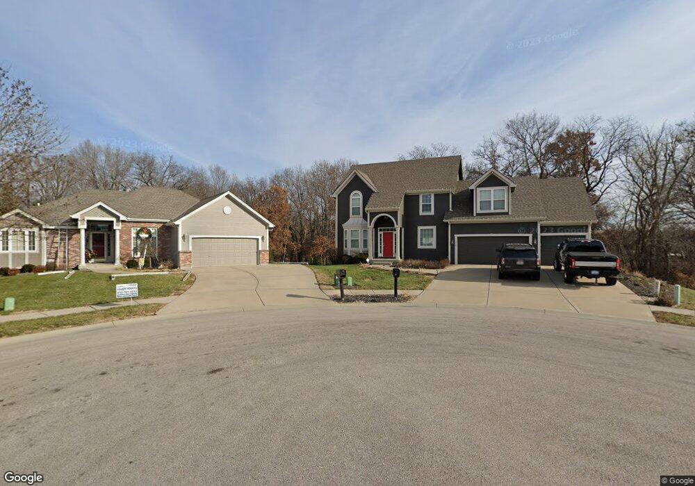
303 Shadowbrook Dr Kearney, MO 64060
Estimated Value: $451,187 - $504,000
4
Beds
3
Baths
2,502
Sq Ft
$193/Sq Ft
Est. Value
About This Home
This home is located at 303 Shadowbrook Dr, Kearney, MO 64060 and is currently estimated at $484,047, approximately $193 per square foot. 303 Shadowbrook Dr is a home located in Clay County with nearby schools including Kearney Junior High School, Kearney High School, and Northern Hills Christian Academy.
Ownership History
Date
Name
Owned For
Owner Type
Purchase Details
Closed on
Oct 26, 2018
Sold by
Allen Karen E
Bought by
Allen Karen E and Allen William M
Current Estimated Value
Purchase Details
Closed on
Jun 28, 2018
Sold by
Shelton James C and Shelton Annette M
Bought by
Allen Karen E
Home Financials for this Owner
Home Financials are based on the most recent Mortgage that was taken out on this home.
Original Mortgage
$269,037
Outstanding Balance
$235,042
Interest Rate
4.87%
Mortgage Type
FHA
Estimated Equity
$249,005
Purchase Details
Closed on
Feb 12, 2008
Sold by
Couchman Construction Inc
Bought by
Shelton James C and Shelton Annette M
Home Financials for this Owner
Home Financials are based on the most recent Mortgage that was taken out on this home.
Original Mortgage
$223,200
Interest Rate
6.07%
Mortgage Type
Purchase Money Mortgage
Create a Home Valuation Report for This Property
The Home Valuation Report is an in-depth analysis detailing your home's value as well as a comparison with similar homes in the area
Home Values in the Area
Average Home Value in this Area
Purchase History
| Date | Buyer | Sale Price | Title Company |
|---|---|---|---|
| Allen Karen E | -- | None Available | |
| Allen Karen E | -- | Thomson Affinity Title Llc | |
| Shelton James C | -- | None Available |
Source: Public Records
Mortgage History
| Date | Status | Borrower | Loan Amount |
|---|---|---|---|
| Open | Allen Karen E | $269,037 | |
| Previous Owner | Shelton James C | $223,200 |
Source: Public Records
Tax History
| Year | Tax Paid | Tax Assessment Tax Assessment Total Assessment is a certain percentage of the fair market value that is determined by local assessors to be the total taxable value of land and additions on the property. | Land | Improvement |
|---|---|---|---|---|
| 2025 | $4,241 | $70,510 | -- | -- |
| 2024 | $4,241 | $61,880 | -- | -- |
| 2023 | $4,226 | $61,880 | $0 | $0 |
| 2022 | $3,880 | $54,930 | $0 | $0 |
| 2021 | $3,803 | $54,929 | $5,130 | $49,799 |
| 2020 | $3,878 | $50,940 | $0 | $0 |
| 2019 | $3,857 | $50,940 | $0 | $0 |
Source: Public Records
Map
Nearby Homes
- 1302 Regency Dr
- 307 W 11th Terrace
- 1104 Regency Dr
- 1404 Colony Dr
- 1304 S Jefferson St
- 200 E 10th St
- Parcel C State Route 92
- 1800 Patricia Dr
- 1845 Falcon Ct
- 1300 Robin Cir
- 2001 Foxtail Point
- 1933 Meadowlane
- 1204 Noah's Ln
- 1202 Noah Ln
- 623 E 13th St
- 1505 Emerald Cir
- 1209 Noah's Ln
- 200 E 20th Terrace
- 2120 Foxtail Dr
- 0 W Washington St
- 1209 Regency Dr
- 302 Shadowbrook Dr
- 1301 Regency Dr
- 304 Shadowbrook Dr
- 303 W 11th Terrace
- 305 W 11th Terrace
- 1201 Regency Dr
- 1300 Regency Dr
- 210 Shawna Dr
- 1305 Regency Dr
- 1204 Regency Dr
- 1304 Regency Dr
- 1115 Regency Dr
- 302 W 11th Terrace
- 212 Shawna Dr
- 1307 Regency Dr
- 1202 Regency Dr
- 208 Shawna Dr
- 313 Shadowbrook Dr
- 1306 Regency Dr
Your Personal Tour Guide
Ask me questions while you tour the home.