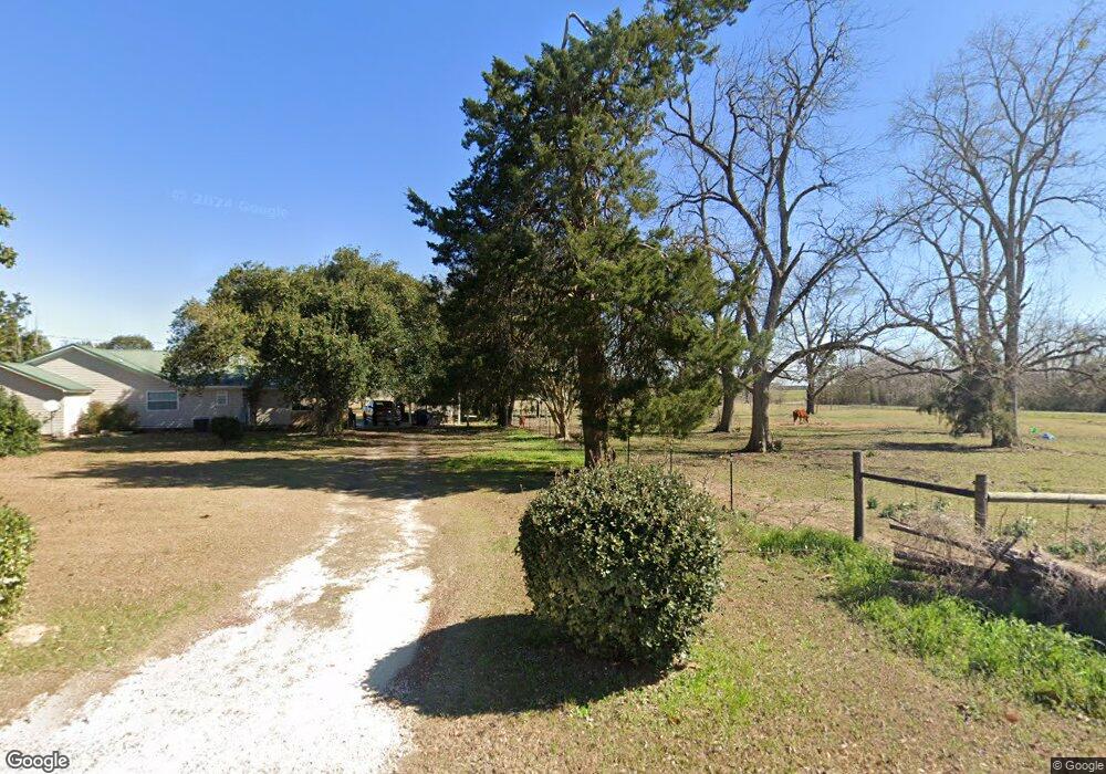
3030 Spence Rd Pelham, GA 31779
Estimated Value: $101,000 - $252,000
Studio
1
Bath
2,302
Sq Ft
$82/Sq Ft
Est. Value
About This Home
This home is located at 3030 Spence Rd, Pelham, GA 31779 and is currently estimated at $188,641, approximately $81 per square foot. 3030 Spence Rd is a home located in Mitchell County with nearby schools including Mitchell County Primary School, Mitchell County Elementary School, and Mitchell County Middle School.
Ownership History
Date
Name
Owned For
Owner Type
Purchase Details
Closed on
Mar 28, 2006
Sold by
West L D
Bought by
West Victoria A
Current Estimated Value
Home Financials for this Owner
Home Financials are based on the most recent Mortgage that was taken out on this home.
Original Mortgage
$82,174
Interest Rate
6.23%
Mortgage Type
New Conventional
Create a Home Valuation Report for This Property
The Home Valuation Report is an in-depth analysis detailing your home's value as well as a comparison with similar homes in the area
Purchase History
| Date | Buyer | Sale Price | Title Company |
|---|---|---|---|
| West Victoria A | $37,237 | -- |
Source: Public Records
Mortgage History
| Date | Status | Borrower | Loan Amount |
|---|---|---|---|
| Closed | West Victoria A | $82,174 |
Source: Public Records
Tax History
| Year | Tax Paid | Tax Assessment Tax Assessment Total Assessment is a certain percentage of the fair market value that is determined by local assessors to be the total taxable value of land and additions on the property. | Land | Improvement |
|---|---|---|---|---|
| 2025 | $2,090 | $65,080 | $8,440 | $56,640 |
| 2024 | $2,190 | $65,080 | $8,440 | $56,640 |
| 2023 | $2,153 | $59,920 | $8,440 | $51,480 |
| 2022 | $1,646 | $47,320 | $8,440 | $38,880 |
| 2021 | $1,543 | $43,480 | $7,960 | $35,520 |
| 2020 | $1,432 | $40,280 | $7,960 | $32,320 |
| 2019 | $1,425 | $40,280 | $7,960 | $32,320 |
| 2018 | $1,467 | $40,280 | $7,960 | $32,320 |
| 2017 | $1,457 | $39,716 | $7,990 | $31,726 |
| 2016 | $1,336 | $39,715 | $7,990 | $31,726 |
| 2015 | $1,336 | $39,715 | $7,990 | $31,726 |
| 2014 | $1,336 | $39,715 | $7,990 | $31,726 |
| 2013 | $1,336 | $39,715 | $7,989 | $31,725 |
Source: Public Records
Map
Nearby Homes
- 835 Mill Pond Rd
- 387 Lakeshore Rd
- 1685 Union Hill Rd
- 0 111 North Hwy
- 0 Old Ga Highway 3
- 352 College St SW
- 443 Stewart St SW
- 0 Grady St SW
- 425 Hollis St SW
- 389 Stewart St SW
- 410 Hollis St SW
- 5854 Mount Olive Rd
- 3** Youngs Mill Rd
- 277 Saunders St SW
- 277 Porter St SW
- 267 Saunders St SW
- 1197 U S 19
- 209 McDonald St SW
- 1181 U S 19
- 375 Baggs Ave SE
- 3041 Spence Rd
- 3068 Spence Rd
- 0 Old Thomasville Rd
- 2442 Spence Rd
- 00 County Line Rd
- 3108 Spence Rd
- 3162 Spence Rd
- 00 Mill Pond Rd
- 3840 Drew Ln
- 3172 Spence Rd
- 3186 Spence Rd
- 2316 Spence Rd
- 3199 Spence Rd
- 3863 County Line Rd E
- 3808 Drew Ln
- 3206 Spence Rd
- 2211 Old Newton Rd
- 1035 Mill Pond Rd
- 994 Mill Pond Rd
- 255 Lakeshore Rd
Your Personal Tour Guide
Ask me questions while you tour the home.