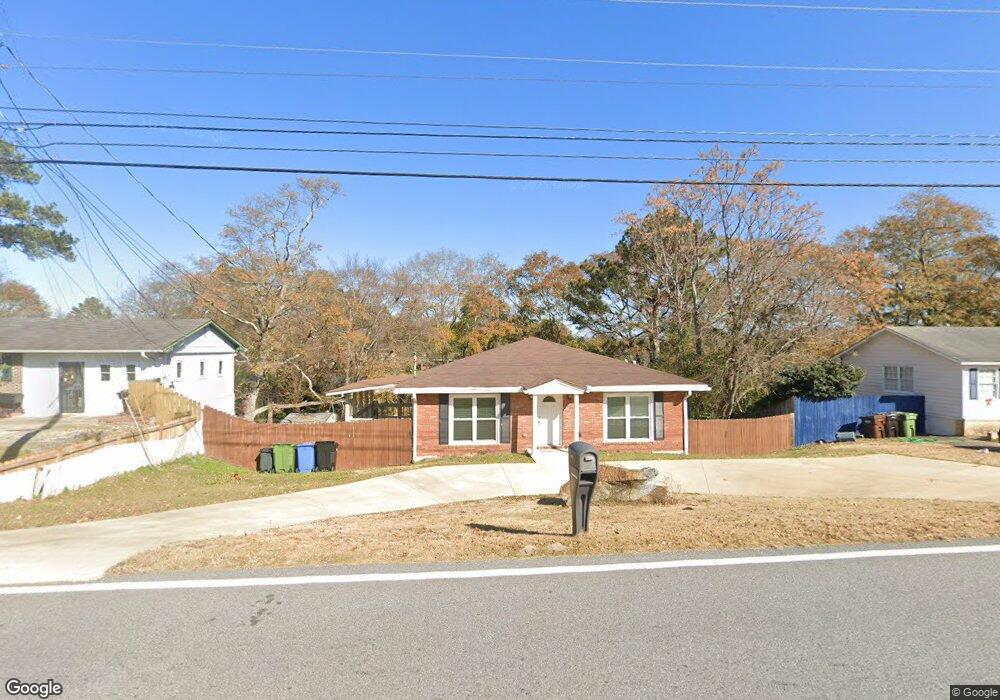
3033 W Britt David Rd Columbus, GA 31909
Estimated Value: $123,000 - $167,000
3
Beds
2
Baths
1,225
Sq Ft
$123/Sq Ft
Est. Value
About This Home
This home is located at 3033 W Britt David Rd, Columbus, GA 31909 and is currently estimated at $150,937, approximately $123 per square foot. 3033 W Britt David Rd is a home located in Muscogee County with nearby schools including Allen Elementary School, Arnold Middle School, and Jordan Vocational High School.
Ownership History
Date
Name
Owned For
Owner Type
Purchase Details
Closed on
May 17, 2019
Sold by
Riversouth Properties Llc
Bought by
Evans Zachary T
Current Estimated Value
Home Financials for this Owner
Home Financials are based on the most recent Mortgage that was taken out on this home.
Original Mortgage
$79,370
Outstanding Balance
$69,641
Interest Rate
4.1%
Estimated Equity
$81,296
Purchase Details
Closed on
Jul 13, 2018
Sold by
Ring Steven Jay
Bought by
Riversouth Properties Llc
Create a Home Valuation Report for This Property
The Home Valuation Report is an in-depth analysis detailing your home's value as well as a comparison with similar homes in the area
Home Values in the Area
Average Home Value in this Area
Purchase History
| Date | Buyer | Sale Price | Title Company |
|---|---|---|---|
| Evans Zachary T | $77,700 | -- | |
| Riversouth Properties Llc | $38,500 | -- |
Source: Public Records
Mortgage History
| Date | Status | Borrower | Loan Amount |
|---|---|---|---|
| Open | Evans Zachary T | $79,370 |
Source: Public Records
Tax History Compared to Growth
Tax History
| Year | Tax Paid | Tax Assessment Tax Assessment Total Assessment is a certain percentage of the fair market value that is determined by local assessors to be the total taxable value of land and additions on the property. | Land | Improvement |
|---|---|---|---|---|
| 2025 | $1,457 | $37,232 | $8,436 | $28,796 |
| 2024 | $1,457 | $37,232 | $8,436 | $28,796 |
| 2023 | $1,467 | $37,232 | $8,436 | $28,796 |
| 2022 | $1,272 | $31,144 | $8,436 | $22,708 |
| 2021 | $1,305 | $31,972 | $8,436 | $23,536 |
| 2020 | $1,269 | $31,080 | $7,280 | $23,800 |
| 2019 | $631 | $15,400 | $3,480 | $11,920 |
| 2018 | $1,524 | $37,192 | $8,436 | $28,756 |
| 2017 | $1,529 | $37,192 | $8,436 | $28,756 |
| 2016 | $1,128 | $27,338 | $5,859 | $21,479 |
| 2015 | $1,129 | $27,338 | $5,859 | $21,479 |
| 2014 | $1,130 | $27,338 | $5,859 | $21,479 |
| 2013 | -- | $27,338 | $5,859 | $21,479 |
Source: Public Records
Map
Nearby Homes
- 5552 Perry Ave
- 3308 Mustang Dr
- 5610 Perry Ave
- 5435 Wayne Dr
- 5829 Ventura Dr
- 5817 Sherborne Dr
- 5836 Sherborne Dr
- 3618 Grier Ave
- 3710 Winkfield Place
- 2528 Lorraine St
- 2516 Lorraine St
- 6138 Seaton Dr
- 6218 Westbrook Dr
- 3325 N North Quay Dr
- 2813 Hart Dr
- 2325 Coventry Dr
- 2208 Airport Thruway
- 6308 Adams Park Dr
- 5239 23rd Ave
- 3427 Larkin St
- 3039 W Britt David Rd
- 3027 W Britt David Rd
- 3092 Mustang Dr
- 3098 Mustang Dr
- 3088 Mustang Dr
- 3045 W Britt David Rd
- 3019 W Britt David Rd
- 3102 Mustang Dr
- 3082 Mustang Dr
- 3013 W Britt David Rd
- 3051 W Britt David Rd
- 3108 Mustang Dr
- 3076 Mustang Dr
- 3007 W Britt David Rd
- 3059 W Britt David Rd
- 3091 Mustang Dr
- 3114 Mustang Dr
- 3097 Mustang Dr
- 3085 Mustang Dr
- 3101 Mustang Dr