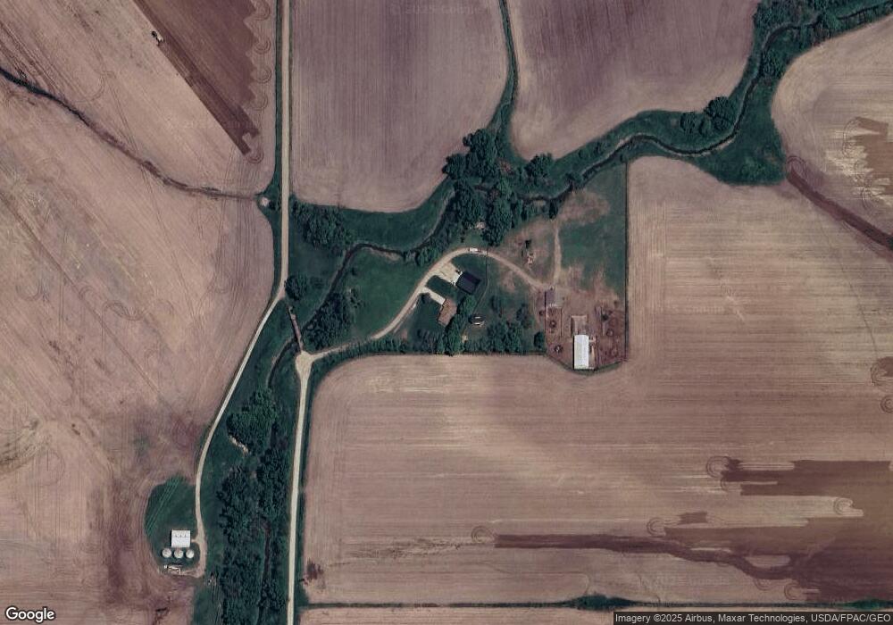
30343 Teak Ave Dunlap, IA 51529
Estimated Value: $372,000 - $485,156
3
Beds
2
Baths
1,765
Sq Ft
$243/Sq Ft
Est. Value
About This Home
This home is located at 30343 Teak Ave, Dunlap, IA 51529 and is currently estimated at $428,578, approximately $242 per square foot. 30343 Teak Ave is a home located in Monona County with nearby schools including Boyer Valley Elementary School and Boyer Valley Middle/High School.
Ownership History
Date
Name
Owned For
Owner Type
Purchase Details
Closed on
Nov 12, 2024
Sold by
Sandvold Amanda S
Bought by
Sandvold Brett C
Current Estimated Value
Purchase Details
Closed on
Dec 20, 2005
Sold by
Gorham Gary E and Oldham Janet L
Bought by
Sandvold Brett C and Sandvold Amanda S
Home Financials for this Owner
Home Financials are based on the most recent Mortgage that was taken out on this home.
Original Mortgage
$116,000
Interest Rate
6.48%
Mortgage Type
New Conventional
Create a Home Valuation Report for This Property
The Home Valuation Report is an in-depth analysis detailing your home's value as well as a comparison with similar homes in the area
Home Values in the Area
Average Home Value in this Area
Purchase History
| Date | Buyer | Sale Price | Title Company |
|---|---|---|---|
| Sandvold Brett C | -- | None Listed On Document | |
| Sandvold Brett C | -- | None Listed On Document | |
| Sandvold Brett C | $145,000 | None Available |
Source: Public Records
Mortgage History
| Date | Status | Borrower | Loan Amount |
|---|---|---|---|
| Previous Owner | Sandvold Brett C | $116,000 |
Source: Public Records
Tax History Compared to Growth
Tax History
| Year | Tax Paid | Tax Assessment Tax Assessment Total Assessment is a certain percentage of the fair market value that is determined by local assessors to be the total taxable value of land and additions on the property. | Land | Improvement |
|---|---|---|---|---|
| 2024 | $4,226 | $392,381 | $27,750 | $364,631 |
| 2023 | $4,078 | $392,381 | $27,750 | $364,631 |
| 2022 | $3,670 | $319,016 | $0 | $0 |
| 2021 | $2,620 | $293,118 | $0 | $0 |
| 2020 | $1,744 | $255,689 | $27,750 | $227,939 |
| 2019 | $1,744 | $137,410 | $0 | $0 |
| 2018 | $1,730 | $137,409 | $0 | $0 |
| 2017 | $1,730 | $130,866 | $0 | $0 |
| 2016 | $1,698 | $130,866 | $0 | $0 |
| 2015 | $1,728 | $115,811 | $0 | $0 |
| 2014 | $1,526 | $115,811 | $0 | $0 |
Source: Public Records
Map
Nearby Homes
- 32055 Spruce Ave
- 39472 280th St
- 37274 310th St
- 202 Y St
- 321 3rd St
- 1403 Eaton St
- 431 S Day Ave
- 2313 Easton Trail
- 32255 298th St
- 211 Brookview Dr
- 412 Oak Ave
- 307 Cedar Ave
- 118 Ridgeline Rd
- 907 Harvest Hills Dr
- 111 Ridgeline Rd
- 307 Oak Ave
- 905 Harvest Hills Dr
- 906 Harvest Hills Dr
- 37 10th St
- 102 Bluegrass Ln