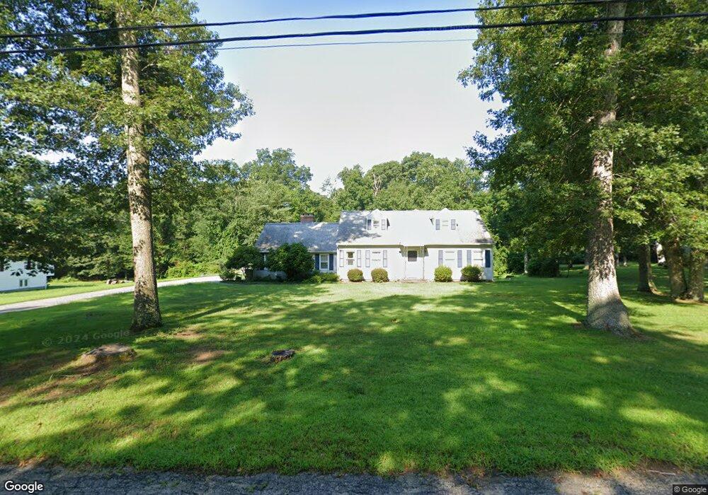
3035 David Ave Danielson, CT 06239
Estimated Value: $326,000 - $405,147
3
Beds
2
Baths
1,408
Sq Ft
$268/Sq Ft
Est. Value
About This Home
This home is located at 3035 David Ave, Danielson, CT 06239 and is currently estimated at $377,787, approximately $268 per square foot. 3035 David Ave is a home located in Windham County with nearby schools including Killingly Central School, Killingly Memorial School, and Killingly Intermediate School.
Ownership History
Date
Name
Owned For
Owner Type
Purchase Details
Closed on
Aug 11, 1992
Sold by
Caron Leo and Caron Merrie
Bought by
Thompson Kathi
Current Estimated Value
Home Financials for this Owner
Home Financials are based on the most recent Mortgage that was taken out on this home.
Original Mortgage
$62,300
Interest Rate
7.83%
Create a Home Valuation Report for This Property
The Home Valuation Report is an in-depth analysis detailing your home's value as well as a comparison with similar homes in the area
Home Values in the Area
Average Home Value in this Area
Purchase History
| Date | Buyer | Sale Price | Title Company |
|---|---|---|---|
| Thompson Kathi | $90,200 | -- | |
| Thompson Kathi | $90,200 | -- |
Source: Public Records
Mortgage History
| Date | Status | Borrower | Loan Amount |
|---|---|---|---|
| Closed | Thompson Kathi | $48,000 | |
| Closed | Thompson Kathi | $62,300 | |
| Closed | Thompson Kathi | $2,330 | |
| Closed | Thompson Kathi | $87,867 |
Source: Public Records
Tax History Compared to Growth
Tax History
| Year | Tax Paid | Tax Assessment Tax Assessment Total Assessment is a certain percentage of the fair market value that is determined by local assessors to be the total taxable value of land and additions on the property. | Land | Improvement |
|---|---|---|---|---|
| 2025 | $5,531 | $238,010 | $42,710 | $195,300 |
| 2024 | $5,262 | $238,010 | $42,710 | $195,300 |
| 2023 | $4,684 | $161,140 | $35,140 | $126,000 |
| 2022 | $4,404 | $161,140 | $35,140 | $126,000 |
| 2021 | $4,389 | $161,140 | $35,140 | $126,000 |
| 2020 | $4,309 | $161,140 | $35,140 | $126,000 |
| 2019 | $4,377 | $161,140 | $35,140 | $126,000 |
| 2017 | $4,005 | $139,510 | $28,140 | $111,370 |
| 2016 | $4,005 | $139,510 | $28,140 | $111,370 |
| 2015 | $4,005 | $139,510 | $28,140 | $111,370 |
| 2014 | $3,894 | $139,510 | $28,140 | $111,370 |
Source: Public Records
Map
Nearby Homes
- 64 Westcott Rd
- 330 Cook Hill Rd
- 9 Colleen St
- 85 Mashentuck Rd
- 175 Mashentuck Rd
- 612 Cook Hill Rd
- 513 Lhomme Street Extension
- 365 Cranberry Bog Rd
- 99 Snake Meadow Rd
- 129 Snake Meadow Rd
- 55,94,100 Hubbard Hi Klocek Rd
- 69 Peckham Ln
- 409 Main St
- 102 Cottage St
- Lot 2 Klosek Rd
- 43 Fall Brook Rd
- 110 Franklin St
- 24 Center St
- 395 Bailey Hill Rd
- 94 Mechanic St
- 3029 David Ave
- 3021 David Ave
- 3049 David Ave
- 3036 David Ave
- 3030 David Ave
- 3044 David Ave
- 3055 David Ave
- 3015 David Ave
- 3050 David Ave
- 30 Cranberry Bog Rd
- 3024 David Ave
- 3020 David Ave
- 18 Cranberry Bog Rd
- 3056 David Ave
- 3014 David Ave
- 42 Cranberry Bog Rd
- 3059 David Ave
- 3061 David Ave
- 3074 David Ave
- 25 Cranberry Bog Rd