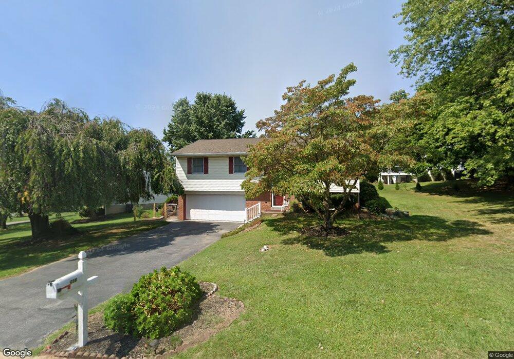
3035 Todd Ln Lancaster, PA 17601
Oyster Point NeighborhoodEstimated Value: $345,000 - $359,000
3
Beds
2
Baths
1,086
Sq Ft
$323/Sq Ft
Est. Value
About This Home
This home is located at 3035 Todd Ln, Lancaster, PA 17601 and is currently estimated at $351,232, approximately $323 per square foot. 3035 Todd Ln is a home located in Lancaster County with nearby schools including Landisville Primary Center, Landisville Middle School, and Hempfield High School.
Ownership History
Date
Name
Owned For
Owner Type
Purchase Details
Closed on
Sep 1, 2020
Sold by
Graybill Stephen N and Graybill Paula M
Bought by
Moore Louise A
Current Estimated Value
Home Financials for this Owner
Home Financials are based on the most recent Mortgage that was taken out on this home.
Original Mortgage
$110,000
Outstanding Balance
$74,126
Interest Rate
3%
Mortgage Type
New Conventional
Estimated Equity
$277,106
Create a Home Valuation Report for This Property
The Home Valuation Report is an in-depth analysis detailing your home's value as well as a comparison with similar homes in the area
Home Values in the Area
Average Home Value in this Area
Purchase History
We collect this data history from publicly available records. To have your information removed, we recommend requesting removal directly through your county’s website.
| Date | Buyer | Sale Price | Title Company |
|---|---|---|---|
| Moore Louise A | $225,000 | Abstract Assc Of Lancaster I |
Source: Public Records
Mortgage History
We collect this data history from publicly available records. To have your information removed, we recommend requesting removal directly through your county’s website.
| Date | Status | Borrower | Loan Amount |
|---|---|---|---|
| Open | Moore Louise A | $110,000 |
Source: Public Records
Tax History
| Year | Tax Paid | Tax Assessment Tax Assessment Total Assessment is a certain percentage of the fair market value that is determined by local assessors to be the total taxable value of land and additions on the property. | Land | Improvement |
|---|---|---|---|---|
| 2026 | $4,335 | $195,000 | $66,300 | $128,700 |
| 2025 | $4,335 | $195,000 | $66,300 | $128,700 |
| 2024 | $4,214 | $195,000 | $66,300 | $128,700 |
| 2023 | $4,130 | $195,000 | $66,300 | $128,700 |
| 2022 | $4,016 | $195,000 | $66,300 | $128,700 |
| 2021 | $3,952 | $195,000 | $66,300 | $128,700 |
| 2020 | $3,952 | $195,000 | $66,300 | $128,700 |
| 2019 | $3,885 | $195,000 | $66,300 | $128,700 |
| 2018 | $4,728 | $195,000 | $66,300 | $128,700 |
| 2017 | $3,364 | $133,600 | $38,200 | $95,400 |
| 2016 | $3,364 | $133,600 | $38,200 | $95,400 |
| 2015 | $675 | $133,600 | $38,200 | $95,400 |
| 2014 | $2,476 | $133,600 | $38,200 | $95,400 |
Source: Public Records
Map
Nearby Homes
- 3030 Todd Ln
- 3051 Todd Ln
- 3063 Buckthorn Dr
- 3183 Thornapple Dr
- 326 Barberry Dr
- 36 Peacock Dr
- 3270 Briarwood Blvd
- 6 Bellevue Ct
- 22 Madge Dr
- 3405 Columbia Ave
- 501 Bald Eagle Ct
- 2963 Spring Valley Rd
- 825 Darby Ln
- 516 Bald Eagle Ct
- 3339 Pin Oak Cir
- 25 Beechtree Ln
- 725 Oxford Rd
- 854 Centerville Rd
- 852 Christine Ln
- 925 Indian Springs Dr
Your Personal Tour Guide
Ask me questions while you tour the home.