3037 Randall Tract Ln Pollock Pines, CA 95726
Estimated Value: $431,000 - $496,908
1
Bed
3
Baths
1,652
Sq Ft
$274/Sq Ft
Est. Value
About This Home
This home is located at 3037 Randall Tract Ln, Pollock Pines, CA 95726 and is currently estimated at $452,977, approximately $274 per square foot. 3037 Randall Tract Ln is a home located in El Dorado County with nearby schools including El Dorado High School.
Ownership History
Date
Name
Owned For
Owner Type
Purchase Details
Closed on
Feb 18, 2025
Sold by
Bobbie And Norma Johnson Family Trust and Johnson Norma
Bought by
Mccartney Michael
Current Estimated Value
Purchase Details
Closed on
Aug 25, 2015
Sold by
Johnson Bobbie J and Johnson Norma L
Bought by
The Bobbie & Norma Johnson Family Trust
Purchase Details
Closed on
Jul 22, 2015
Sold by
Trammell Judy S and Trammell Revocable Family Trus
Bought by
Johnson Bobbie G and Johnson Norma L
Purchase Details
Closed on
Aug 19, 1998
Sold by
Trammell Jack B and Trammell Judy S
Bought by
Trammell Jack B and Trammell Judy S
Create a Home Valuation Report for This Property
The Home Valuation Report is an in-depth analysis detailing your home's value as well as a comparison with similar homes in the area
Home Values in the Area
Average Home Value in this Area
Purchase History
| Date | Buyer | Sale Price | Title Company |
|---|---|---|---|
| Mccartney Michael | -- | None Listed On Document | |
| The Bobbie & Norma Johnson Family Trust | -- | None Available | |
| Johnson Bobbie G | $215,000 | North American Title Company | |
| Trammell Jack B | -- | -- |
Source: Public Records
Tax History Compared to Growth
Tax History
| Year | Tax Paid | Tax Assessment Tax Assessment Total Assessment is a certain percentage of the fair market value that is determined by local assessors to be the total taxable value of land and additions on the property. | Land | Improvement |
|---|---|---|---|---|
| 2025 | $2,661 | $254,509 | $88,781 | $165,728 |
| 2024 | $2,661 | $249,520 | $87,041 | $162,479 |
| 2023 | $2,608 | $244,629 | $85,335 | $159,294 |
| 2022 | $2,569 | $239,833 | $83,662 | $156,171 |
| 2021 | $2,532 | $235,131 | $82,022 | $153,109 |
| 2020 | $2,499 | $232,721 | $81,181 | $151,540 |
| 2019 | $2,460 | $228,159 | $79,590 | $148,569 |
| 2018 | $2,389 | $223,686 | $78,030 | $145,656 |
| 2017 | $2,347 | $219,300 | $76,500 | $142,800 |
| 2016 | $2,310 | $215,000 | $75,000 | $140,000 |
| 2015 | $1,955 | $181,278 | $43,062 | $138,216 |
| 2014 | $1,923 | $177,728 | $42,219 | $135,509 |
Source: Public Records
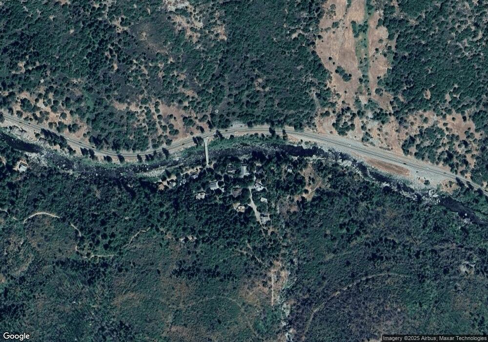
Map
Nearby Homes
- 3021 Riverton Rd
- 12554 30 Mile Stone Dr Unit 27
- 12710 30 Mile Stone Ln Unit 4
- 1 Road To Mandalay
- 1312 Squaw Rock Trail
- 0 Pickwick Unit 225101722
- 0 Pickwick Unit 224126719
- 0 Pickwick Unit 140988
- 11523 Pickwick St
- 99981 Mormon Emigrant Trail
- 8009 Spring Valley Rd
- 5000 Dos Lagos Ct
- 35-Acres Dos Lagos Ct
- 8040 Mill Run
- 34 34 Milestone Tract Unit 23
- 0 Sly Park Unit 41057072
- 34 Milestone Rd Unit 23
- 6740 Spring Valley Rd
- 1 Stacy Ln
- 301 Camelot Way
- 3039 Randall Tract Ln
- 3035 Randall Tract Ln
- 3060 Randall Tract Ln
- 3047 Randall Tract Ln
- 3029 Randall Tract Ln
- 3040 Randall Tract Ln
- 3050 Randall Tract Ln
- 11128 U S 50
- 3053 Randall Tract Ln
- 3024 Randall Tract Ln
- 3026 Randall Tract Ln
- 11064 Randall Tract Ln
- 11064 Randall Tract Ln
- 11056 Randall Tract Ln
- 777 of Forebay Ln
- 11040 Randall Tract Ln
- 0 Us Hwy 50 Unit 140205
- 10990 Highway 50
- 3025 Whitehall Rd
- 10972 Highway 50