Estimated Value: $198,000 - $233,000
2
Beds
1
Bath
1,575
Sq Ft
$135/Sq Ft
Est. Value
About This Home
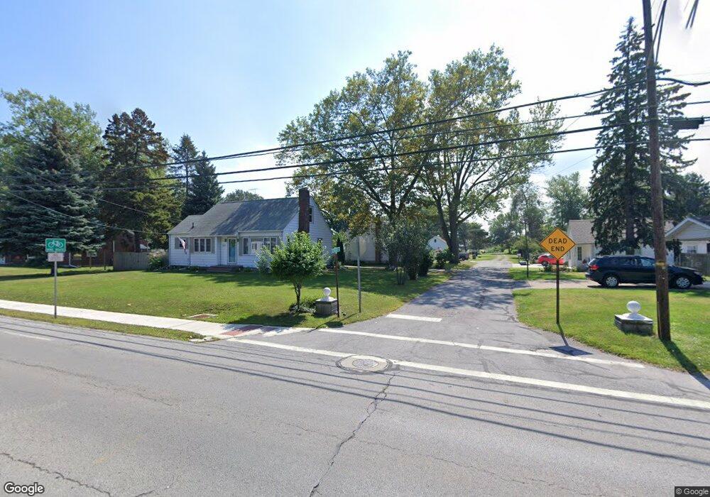
This home is located at 304 Ashwood Rd, Huron, OH 44839 and is currently estimated at $212,835, approximately $135 per square foot. 304 Ashwood Rd is a home located in Erie County with nearby schools including Woodlands Intermediate School, Shawnee Elementary School, and McCormick Junior High School.
Ownership History
Date
Name
Owned For
Owner Type
Purchase Details
Closed on
Feb 27, 2023
Sold by
Mcgraw Carolyn B and Mcgraw Brian S
Bought by
Mcgraw Eric J
Current Estimated Value
Home Financials for this Owner
Home Financials are based on the most recent Mortgage that was taken out on this home.
Original Mortgage
$144,000
Outstanding Balance
$139,639
Interest Rate
6.33%
Mortgage Type
New Conventional
Estimated Equity
$73,196
Purchase Details
Closed on
Nov 27, 2017
Sold by
Mcgraw John D and Mcgraw Brian S
Bought by
Mcgraw Carolyn B
Purchase Details
Closed on
Jan 1, 1987
Bought by
Mcgraw John D and Mcgraw Carolyn B
Create a Home Valuation Report for This Property
The Home Valuation Report is an in-depth analysis detailing your home's value as well as a comparison with similar homes in the area
Home Values in the Area
Average Home Value in this Area
Purchase History
| Date | Buyer | Sale Price | Title Company |
|---|---|---|---|
| Mcgraw Eric J | $180,000 | None Listed On Document | |
| Mcgraw Carolyn B | -- | None Available | |
| Mcgraw John D | -- | -- |
Source: Public Records
Mortgage History
| Date | Status | Borrower | Loan Amount |
|---|---|---|---|
| Open | Mcgraw Eric J | $144,000 |
Source: Public Records
Tax History Compared to Growth
Tax History
| Year | Tax Paid | Tax Assessment Tax Assessment Total Assessment is a certain percentage of the fair market value that is determined by local assessors to be the total taxable value of land and additions on the property. | Land | Improvement |
|---|---|---|---|---|
| 2024 | $2,076 | $46,837 | $11,872 | $34,965 |
| 2023 | $2,116 | $43,085 | $10,507 | $32,578 |
| 2022 | $1,830 | $43,088 | $10,507 | $32,581 |
| 2021 | $1,825 | $43,090 | $10,510 | $32,580 |
| 2020 | $1,565 | $36,000 | $10,510 | $25,490 |
| 2019 | $1,633 | $36,000 | $10,510 | $25,490 |
| 2018 | $1,642 | $36,000 | $10,510 | $25,490 |
| 2017 | $1,066 | $31,820 | $10,300 | $21,520 |
| 2016 | $1,023 | $31,820 | $10,300 | $21,520 |
| 2015 | $1,028 | $31,820 | $10,300 | $21,520 |
| 2014 | $1,040 | $31,820 | $10,300 | $21,520 |
| 2013 | $1,025 | $31,820 | $10,300 | $21,520 |
Source: Public Records
Map
Nearby Homes
- 2016 Cleveland Rd W
- 216 Marion Ave
- 224 Atwood Place
- 220 Overlook Rd
- 301 Gumwood Rd
- 40 Poplar St
- 41 Poplar St
- 122 Atwood Place
- 2008 Shore Dr
- 33 Northview Place
- 527 Mariner Village
- 532 Mariner Village
- 416 Wexford Dr
- 1311 Cleveland Rd W Unit 6
- 1003 Cleveland Rd W
- 720 Strowbridge Dr
- 748 Chestnut Ln
- 620 Cleveland Rd W
- 11 Turtle Bay
- 919 Glenview Dr
- 304 Ashwood Rd
- 307 Buckeye Rd
- 307 Buckeye Rd
- 1824 Cleveland Rd W
- 303 Ashwood Rd
- 2016 Cleveland Rd W Unit A
- 1818 Cleveland Rd W
- 311 Buckeye Rd
- 0 Buckeye Rd
- 1910 Cleveland Rd W
- 0 Ashwood Rd
- 304 Buckeye Rd
- 313 Buckeye Rd
- 308 Buckeye Rd
- 1918 Cleveland Rd W
- 310 Buckeye Rd
- 1816 Cleveland Rd W
- 219 Rose Ave
- 315 Buckeye Rd
- 314 Buckeye Rd